
Tag: Remote Sensing
-
NASA Awards Commercial Satellite Data Contracts to Eight New Providers
NASA has awarded contracts to eight commercial satellite data providers under its Commercial Satellite Data Acquisition (CSDA) program, expanding the range of Earth observation data available to support scientific research and operational applications. The awards were issued under the CSDA On-Ramp 2 Multiple Award contract, a firm-fixed-price, indefinite-delivery/indefinite-quantity (IDIQ) agreement with a cumulative ceiling value…
-

Planet Labs Secures Expanded NGA Contract for AI-Enabled Maritime Intelligence Services
Planet Labs has received a $22 million contract option from the U.S. National Geospatial-Intelligence Agency (NGA) to continue providing artificial intelligence-enabled geospatial analytics for military and government users. The award expands work that began under a $13 million contract issued last year through the NGA’s Luno B program, which uses unclassified commercial imagery and analytics…
-
Muon Space Unveils Condor-Ultra Satellite Platform for Orbital Data Center Applications
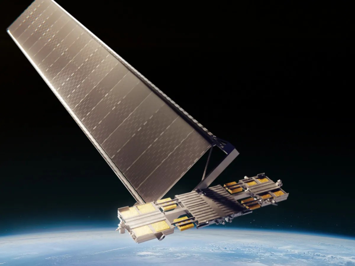
Muon Space has introduced Condor-Ultra, a new high-power satellite platform designed to support emerging orbital computing, networking and space infrastructure applications. The platform expands the company’s Condor family of spacecraft, which already includes the Condor-M and Condor-XL satellite platforms. Designed for High-Power Space Missions Condor-Ultra is designed to deliver significantly more power than Muon Space’s…
-

Cut Costs and Boost Efficiency in Renewable Energy Site Planning
As the world accelerates its transition to renewable energy, the need for strategic site selection and planning has never been greater. Solar farms, wind farms, and hydroelectric projects require careful consideration of environmental, geographical, and infrastructural factors to maximize efficiency and minimize impact. Traditionally, renewable energy site planning relied on field surveys and ground-based assessments—methods…
-

Oil and Gas Infrastructure Monitoring That Delivers Results
Oil and gas infrastructure monitoring is essential for maintaining the safety, efficiency, and sustainability of energy operations. With vast networks of pipelines, offshore platforms, refineries, and storage facilities spread across remote and often challenging environments, traditional monitoring methods can be costly, time-consuming, and reactive. However, advancements in remote sensing and satellite imagery have revolutionized oil…
-
Drones vs Satellites: What’s Better for Project Site Monitoring?
In the Architecture, Engineering, and Construction (AEC) industry, project site monitoring is critical for maintaining timelines, managing resources, and ensuring regulatory compliance. Remote sensing technologies—particularly drones and satellites—have revolutionized how firms collect and analyze data at various project stages. While drones provide high-resolution, on-demand imagery with exceptional detail, satellite imagery offers broader coverage, consistent historical…
-
What Is Remote Sensing?
In simple terms, remote sensing is the act of detecting objects in an area and measuring their movements from space. Remote sensing detects and monitors the physical characteristics of the ground by measuring its reflected and emitted radiation from a distance. The sensors used for remote sensing are generally mounted on satellites, aircraft and more…
-
UrtheCast says it will be largest commercial ISS user
An early image of Venezuela from the UrtheCast cameras aboard the International Space Station. Credit: UrtheCast. Officials with Canadian Earth observation company UrtheCast, which owns two cameras on the International Space Station’s Russian service module, outlined plans this week to install a remote sensing camera and a radar imaging payload on the outpost’s U.S.-owned Tranquility…