
Tag: Remote Sensing
-

New Advances in Satellite Remote Sensing of Aboveground Biomass in Dense Mountain Forests
Dense mountain forests are important carbon reservoirs and biodiversity habitats. However, complex terrain and canopy occlusion make it difficult for conventional optical remote sensing to accurately capture vertical forest structure, creating considerable uncertainty in aboveground biomass estimates under challenging environmental conditions. To address this problem, a team led by researcher Wenjian Ni from the State…
-

STARPATH GLOBAL Showcases Space and Geospatial Intelligence Capabilities at Xinjiang Aerospace and Defense Technology Expo, Exploring New Opportunities for Global Commercial Space Cooperation
Urumqi, Xinjiang, China — The 2026 Xinjiang New Quality Productive Forces and Aerospace & Defense Technology Equipment Expo was held from August 21 to 23, 2026, at the Xinjiang International Convention and Exhibition Center. Under the theme “Empowering Aerospace with New Quality Productive Forces and Strengthening National Defense through Technological Innovation,” the expo focused on…
-
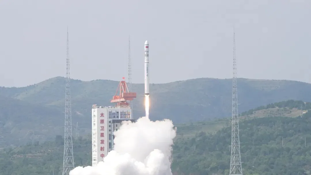
China Launches Seven Satellites on One Rocket, Including Thai CubeSat
At 11:21 a.m. Beijing Time on August 25, a Long March 6C carrier rocket lifted off from the Taiyuan Satellite Launch Center, successfully placing seven satellites into their designated orbits. The payloads included AIRSAT-14, AIRSAT-15, GISTDA CubeSat 1, Muduo-1A, Muduo-1B, Jing’an Dream Satellite and Bayi-04. The launch marked the 665th flight of China’s Long March…
-

Why Is China Going to Such Lengths to Send Computing Power into Space?
China is working to give satellites an additional “brain” by combining artificial intelligence and onboard computing with traditional space capabilities. The objective is not simply to process data in orbit, but eventually to enable autonomous spacecraft, robotic servicing and the construction of large-scale computing infrastructure and human bases in space. What Is Space-Based Computing? Space-based…
-
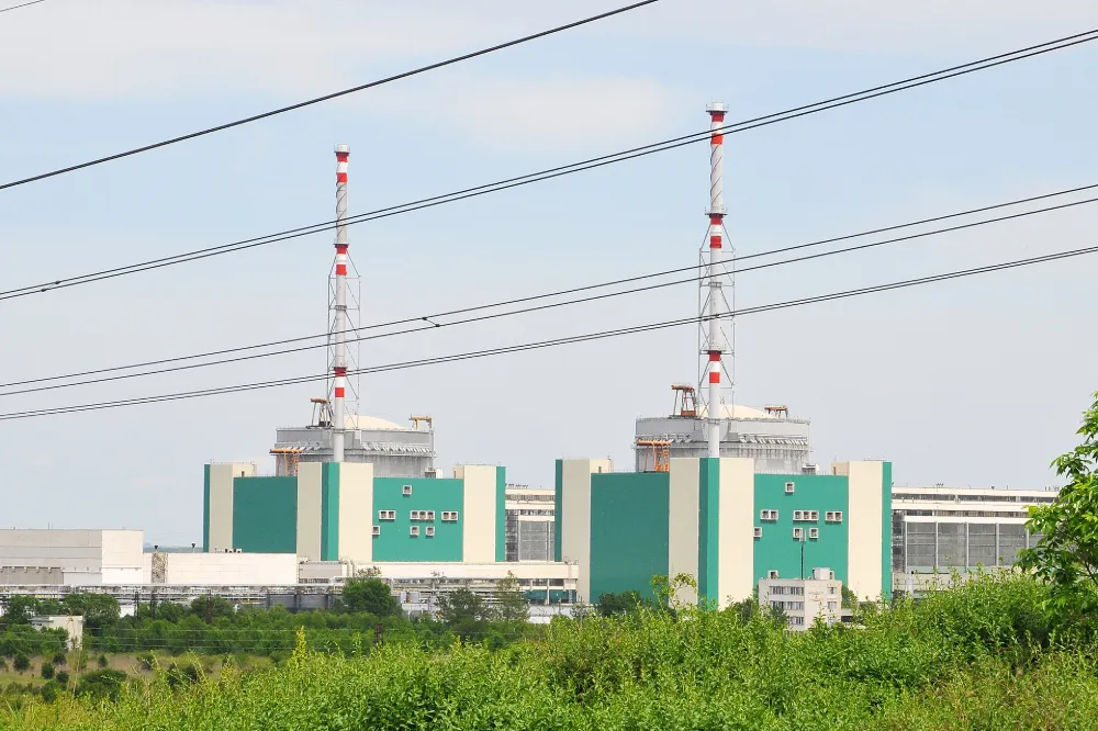
Danube Drought Cuts Nuclear Output: How Satellites Support Water–Energy Risk Monitoring
On 20 August 2026, Bulgaria’s Ministry of Energy and Kozloduy Nuclear Power Plant announced that Unit 5 would be reduced by approximately 120 MW on 21 August as a preventive measure in response to the Danube’s continuing decline to critically low levels. The reduction was equivalent to roughly 12% of the unit’s approximately 1,000 MW…
-
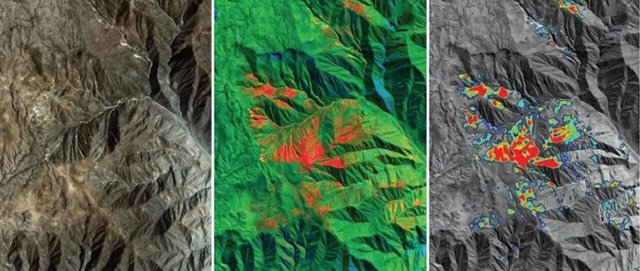
From Mineral Exploration to Disaster Monitoring: What Can Remote Sensing AI Do?
Can remote sensing AI provide professional insights and intelligent decision support for resource exploration, mine development and geological hazard monitoring? “AI cannot be discussed independently of observation,” an industry expert said when discussing intelligent remote sensing interpretation. Remote sensing AI must remain grounded in real-world operations rather than becoming a numbers game focused solely on…
-
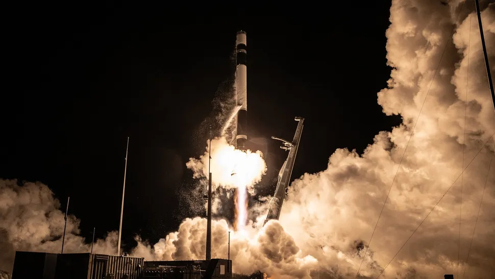
Rocket Lab Targets Ninth iQPS Mission as Japanese SAR Constellation Accelerates Toward Near-Real-Time Earth Observation
Rocket Lab is preparing to launch another Japanese synthetic aperture radar satellite on Aug. 20, adding a new spacecraft to one of the fastest-growing commercial Earth-observation constellations in Asia. The mission, named “The Lightning God Defends,” is scheduled to lift off aboard a Rocket Lab Electron from Launch Complex 1 on New Zealand’s Māhia Peninsula,…
-
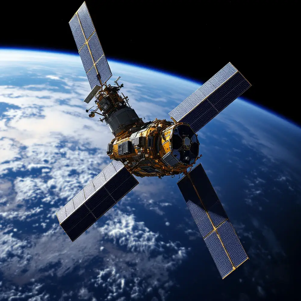
U.S. Space Force Extends Aging Weather Satellites Through 2028 as New Military Weather Architecture Takes Shape
The U.S. Space Force will keep its aging Defense Meteorological Satellite Program (DMSP) spacecraft operating until at least 2028, extending the life of a satellite fleet that was originally designed for much shorter missions but remains important to military weather forecasting. The decision highlights a transitional period in U.S. military space weather: the Space Force…
-
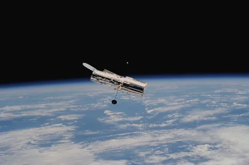
Rwanda and Planet Labs Launch National Satellite Data Program for Government, Universities and Startups
The Government of Rwanda has partnered with Planet Labs to establish a national satellite data program that will provide near-daily Earth observation imagery to government agencies, public universities, selected startups and strategic development partners. Managed by the Rwanda Space Agency, the program is designed to make satellite imagery a more routine component of national decision-making,…
-
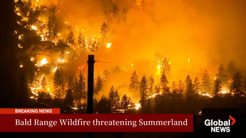
The Bald Range Wildfire Exploded in Size Within Hours: How Satellite Data Can Close the Speed Gap Between Disaster and Decision-Making
The Bald Range wildfire in British Columbia’s Southern Interior was first reported on the evening of August 7, 2026. According to local emergency officials, it grew to approximately 50 square kilometres within about three hours. By the afternoon of August 8, it had burned more than 100 square kilometres and advanced roughly 15 kilometres toward…