
Tag: Remote Sensing
-
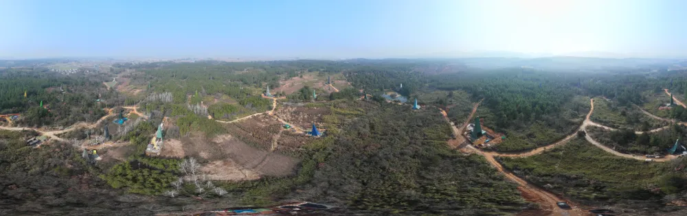
China Reports Largest Porphyry Copper-Gold Find in Middle-Lower Yangtze, Opening New Exploration Frontier
China has reported a major copper-gold exploration breakthrough in Anhui province, identifying what researchers describe as the largest porphyry copper-gold deposit yet found in the Middle-Lower Yangtze region and challenging conventional assumptions about where large porphyry systems can form. China’s Ministry of Natural Resources announced the latest exploration results on Sept. 1. The breakthrough centers…
-
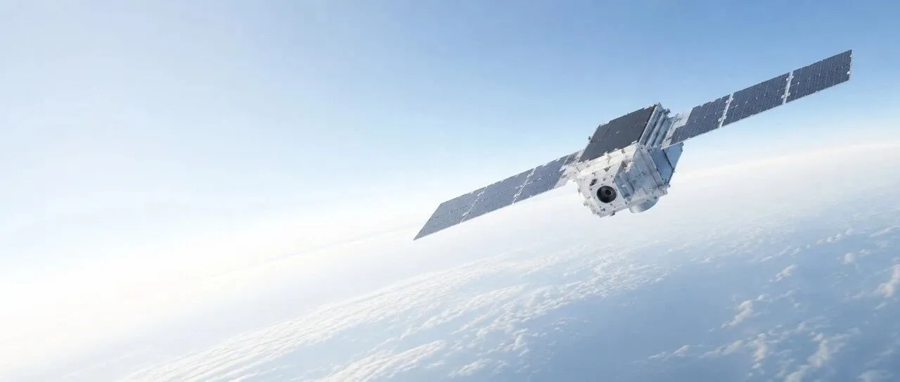
How Low Can Satellites Fly? New Opportunities in VLEO and the Companies Already Moving In
Very low Earth orbit, or VLEO, is not a new type of orbital geometry. It is simply the lower portion of low Earth orbit, where satellites fly closer to Earth and encounter a comparatively denser residual atmosphere. Commercial space companies are paying renewed attention to this regime for a straightforward reason: Earth observation satellites can…
-
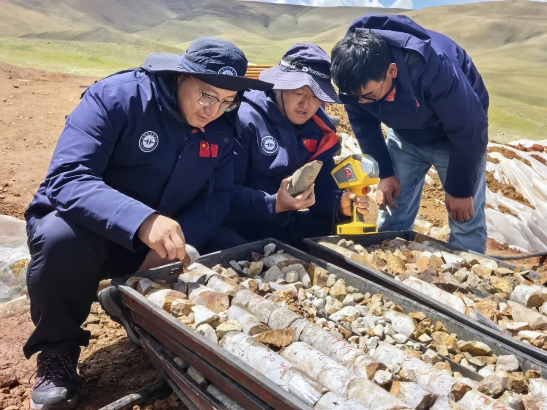
Star–Air–Ground–Borehole Exploration Technology Leads to New Breakthrough in Gangdese Mineral Prospecting
Recently, the China Aero Geophysical and Remote Sensing Center for Natural Resources’ Qinghai–Tibet Plateau airborne geophysical exploration team discovered the Changlong iron-rich tin polymetallic deposit for the first time in an unexplored area of the western Gangdese metallogenic belt. The discovery took just six months from the initial flight survey to the confirmation of mineralization,…
-

Top ten frontier scientific issues in the field of remote sensing science and technology
In early July, Academician Zhang Bing and his co-authors published an article in the Journal of Remote Sensing, summarizing and discussing 10 frontier scientific questions in remote sensing science and technology. Original article: https://www.ygxb.ac.cn/zh/article/doi/10.11834/jrs.20266221/ Abstract Remote sensing is a fundamental technology for understanding the Earth system. The integration of coordinated satellite-airborne-tower-ground observations with artificial intelligence,…
-
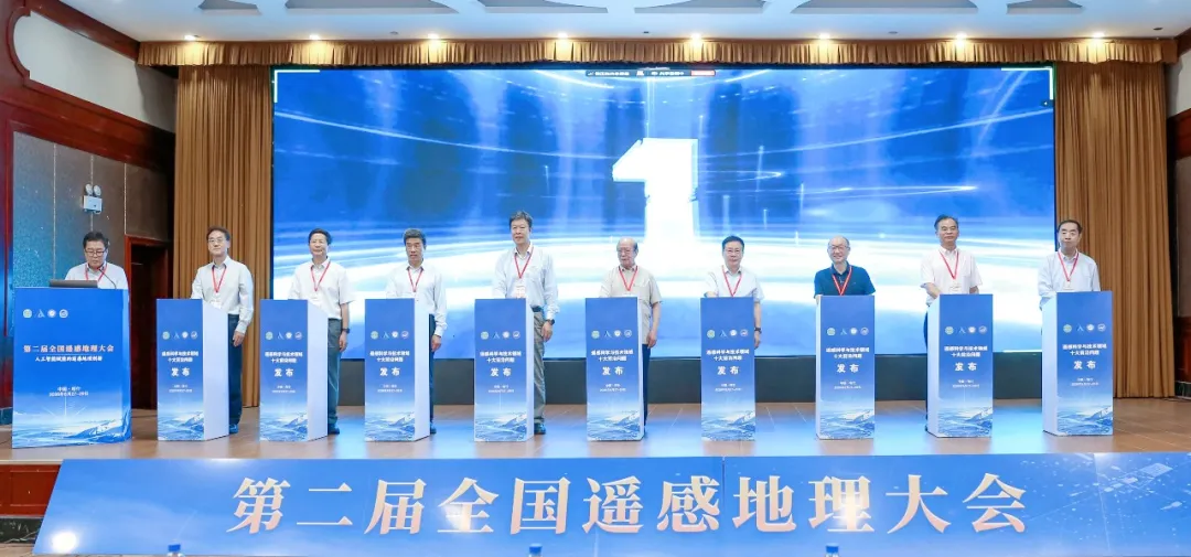
Top 10 Frontier Questions in Remote Sensing Unveiled by Chinese Academy of Sciences Institute
The Aerospace Information Research Institute of the Chinese Academy of Sciences (AIRCAS) announced on August 28 that the Second National Conference on Remote Sensing Geography had opened that day in Kashi, Xinjiang, where the “Top 10 Frontier Questions in Remote Sensing Science and Technology” were officially unveiled. Academicians and experts said remote sensing in China…
-
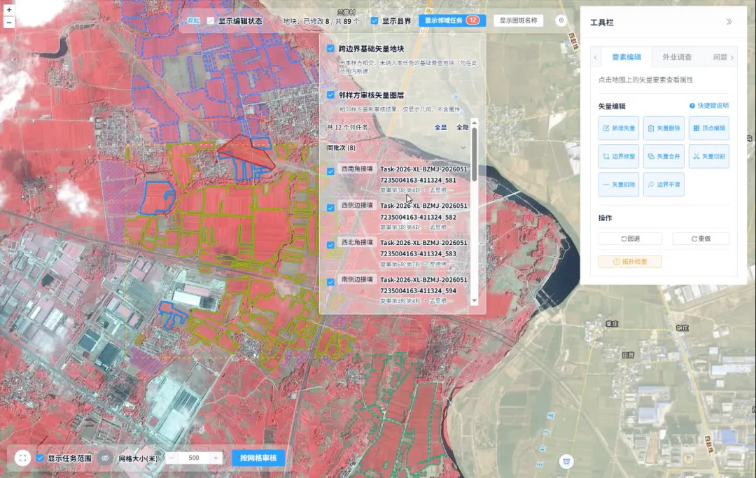
How Is Every Field Accurately Verified? China Uses Remote Sensing for Its Fourth National Agricultural Census
Remote sensing technology has given agricultural censuses “eyes in space,” but satellite imagery alone cannot produce agricultural data with 100% accuracy. Misaligned field boundaries, omitted or duplicated polygons, crop misclassification, and cloud cover obscuring ground conditions are all unavoidable challenges in remote sensing interpretation. These issues emerged during the remote sensing survey verification for China’s…
-
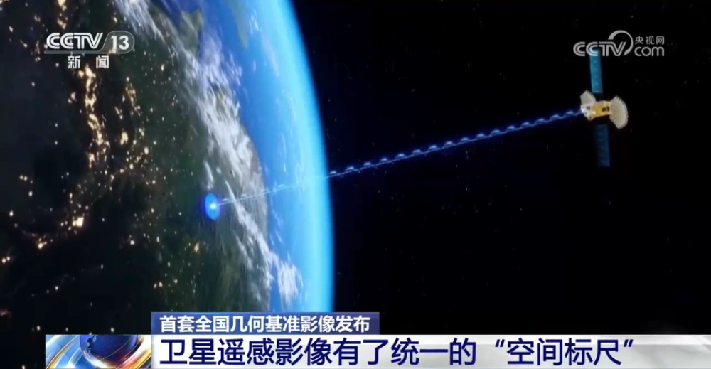
China Releases First Nationwide Geometric Reference Imagery, Creating a Common Spatial Standard for Satellite Data and Cutting Processing Costs
China’s Ministry of Natural Resources has released the country’s first set of geometric reference imagery covering its entire land territory, establishing a common spatial reference for the production and geometric correction of satellite remote-sensing imagery. Announced in late August, the dataset has a spatial resolution better than 0.5 meters and is intended to address a…
-
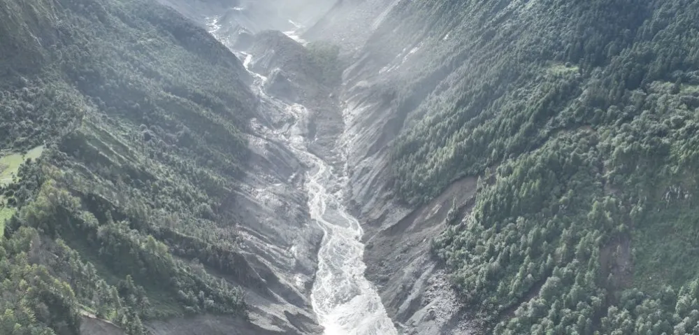
China–Nepal Border Flood: How Satellite Intelligence Supports Disaster Response When Roads and Communications Fail
Information current as of August 28, 2026. The disaster mechanism, casualty figures, and damage estimates remain subject to revision as field investigations continue. On August 26, 2026, a devastating flood and debris-flow disaster struck the Himalayan region along the border between China’s Xizang Autonomous Region and Nepal. Fast-moving floodwater, sediment, and boulders swept through narrow…
-

Mianyang, Sichuan Uses SAR Satellites to Monitor Ground Deformation and Identify Urban Building Safety Risks
Satellite remote sensing is moving beyond specialized surveying and scientific research into practical applications such as urban governance, agriculture, resource management and infrastructure monitoring. This shift is particularly visible in China. In 2025, China launched more than 120 remote-sensing satellites, while its civilian remote-sensing satellite fleet in orbit exceeded 640, maintaining the country’s position as…
-
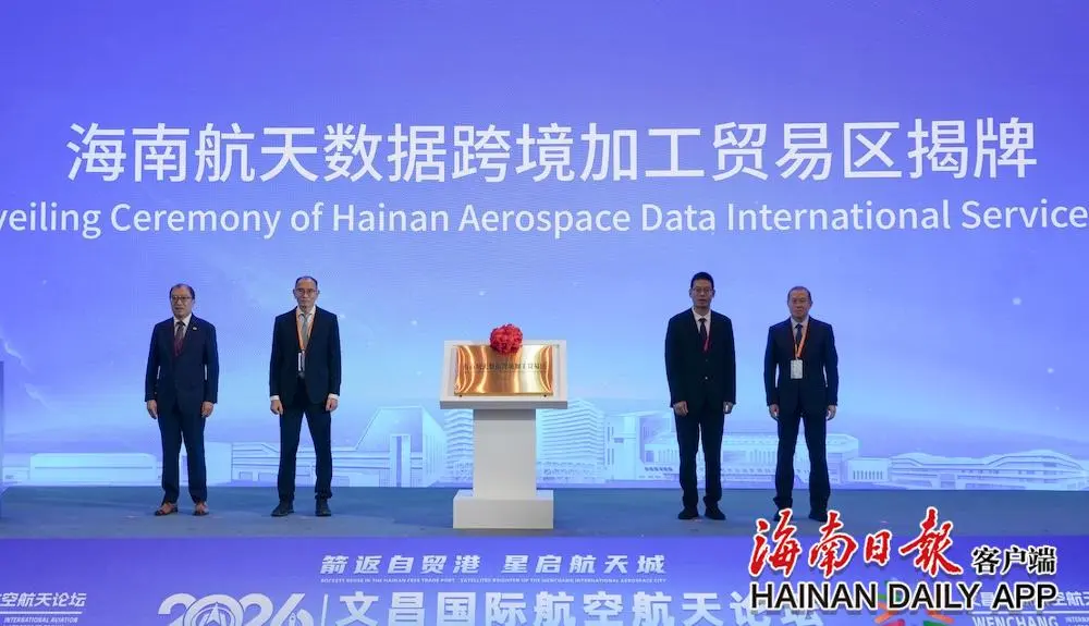
China’s First Cross-Border Satellite Data Processing and Trade Zone Unveiled in Wenchang
The Hainan Aerospace Data Cross-Border Processing and Trade Zone was officially unveiled at the opening ceremony of the 2026 Wenchang International Aviation and Aerospace Forum on Aug. 25. As China’s first trade zone dedicated to the cross-border processing of satellite data, it will leverage the policy advantages of the Hainan Free Trade Port and Wenchang’s…