
Tag: Remote Sensing
-
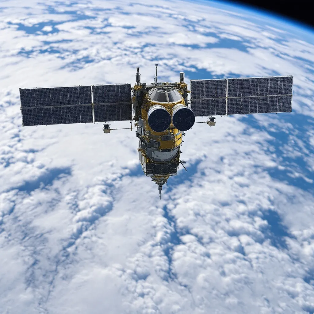
Space Force Expands Space-Based Air Tracking Vendor Pool to 12 Companies
The U.S. Space Force’s Space-Based Airborne Moving Target Indicator program has expanded to 12 participating companies, with Blue Origin, Boeing and commercial radar-satellite operator Umbra appearing in public contract records alongside nine previously identified vendors. The broader supplier pool gives the service additional spacecraft, sensor, processing and integration options as it works toward fielding an…
-
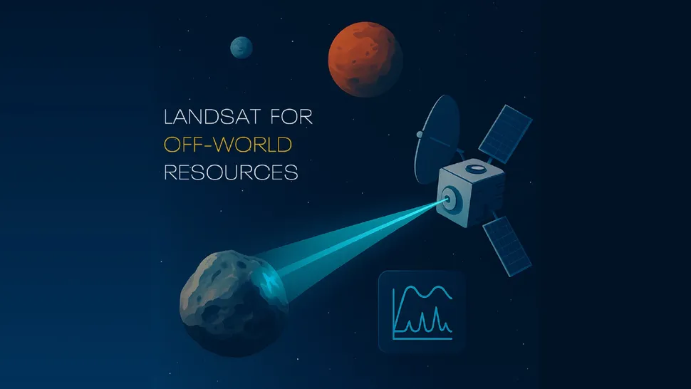
NASA Funds ‘Slingshot’ Concept to Survey Minerals Across Multiple Worlds
NASA has awarded Phase I funding to Interworld Slingshot Resource Surveys, a SETI Institute-led concept that would use a single 300-kilogram spacecraft to identify minerals on the Moon, a near-Earth asteroid and a Martian moon. The study will assess whether Raman spectroscopy can measure surface composition from 30–50 kilometers away, potentially helping future missions select…
-

China Uses Fengyun Satellites and MAZU to Support Cross-Border Disaster Monitoring in Nepal
On Aug. 26, a high-altitude ice-and-rock avalanche occurred on the Nepalese side of the border, triggering a chain of cross-border debris flows that caused significant casualties and left people missing at Gyirong Port in China’s Gyirong County. Following the disaster, the China Meteorological Administration activated the Fengyun International User Disaster Prevention and Mitigation Emergency Support…
-

From “Southern Rockets, Northern Satellites” to Four-District Coordination: Why Has Beijing Become a Hub for Commercial Space?
On September 3, the Beijing Municipal Bureau of Commerce released the Work Plan for the Development of China (Beijing) Pilot Free Trade Zone Linkage Development Areas. The commercial space section presents a more detailed industrial coordination map than the previous “Southern Rockets, Northern Satellites” concept: Haidian focuses on constellation R&D, Fengtai on satellite application services,…
-
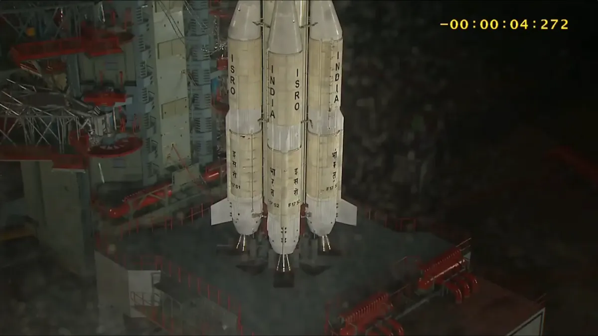
India Launches EOS-05, Its First Geosynchronous Earth-Imaging Satellite (Video)
A GSLV Mark II rocket launched the EOS-05 Earth-imaging satellite toward geosynchronous orbit — something India has never done successfully — from Satish Dhawan Space Centre on Sept. 3, 2026 at 5:25 p.m. EDT (2:55 a.m. on Sept. 4 India Standard Time). Credit: ISRO India launched EOS-05, its first Earth observation satellite designed to image…
-
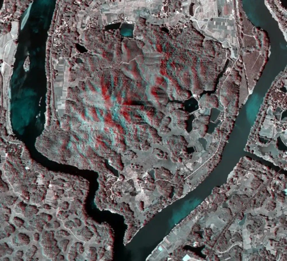
China Achieves Centimeter-Level 3D Imaging With Compact, Low-Power Remote-Sensing System
Chinese researchers have developed a compact remote-sensing system capable of centimeter-level, high-resolution three-dimensional imaging while operating under tight size and power constraints, addressing a persistent payload-design challenge for satellites, unmanned aerial vehicles and autonomous machines. China’s State Administration for Market Regulation disclosed the achievement on September 2. The research was led by the administration’s Key…
-

Space Computing Interview Series: GalaxySpace’s Zhang Shijie on the Problems Space Computing Is Meant to Solve
In 2026, space computing has emerged as a major new direction for the commercial space industry. But what problems is it actually intended to solve, and where is the industry heading? Hello Space has launched its Space Computing Interview Series, speaking with leading Chinese companies to examine the real progress being made in this emerging…
-
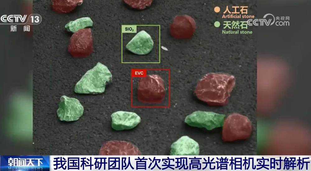
Data No Longer Has to “Travel Back and Forth”: Chinese Team Achieves First Real-Time Hyperspectral Camera Analysis
A research team from Beijing Institute of Technology (BIT) has developed an integrated hyperspectral imaging system capable of real-time analysis at the edge, overcoming a long-standing bottleneck in hyperspectral applications caused by massive data processing requirements. The breakthrough, led by academician Zhang Jun’s team at BIT, introduces a new on-chip spectral computing architecture that moves…
-
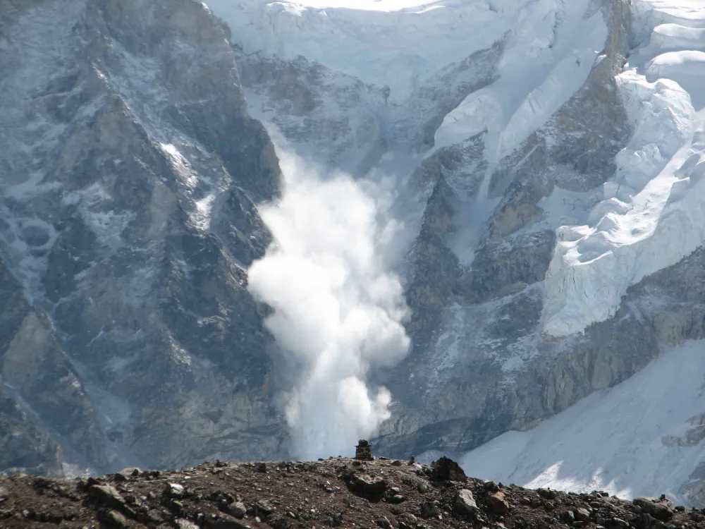
From Detecting Change to Assessing Risk: Satellite Remote Sensing for High-Mountain Hazards
On August 26, 2026, a cascading debris-flow disaster originating on the Nepal side of the China–Nepal border struck Gyirong Port in Xizang, China. Based on pre- and post-event high-resolution satellite imagery, seismic reports, and imagery transmitted from the affected area, an expert working group organized by China’s Ministry of Natural Resources preliminarily assessed that the…
-
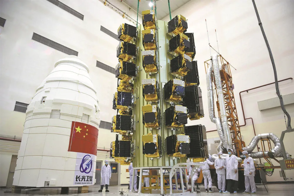
Chang Guang Satellite Unveils Results from World’s Largest Stereo Mapping Satellite Cluster
Commercial space is entering a new phase of large-scale development, with the number of satellites in orbit continuing to rise and applications expanding into an increasingly diverse range of industries. Ultimately, however, the value of the industry is realized through data applications and services. Among these applications, 3D stereo mapping has become an important field…