
Tag: Remote Sensing
-
From Snow and Ice Retreat in 2010 to an Ice Avalanche in 2016 and Crack Coalescence Two Days Before the Disaster: How Satellites Reconstructed a Decade of Progressive Rock-Slope Failure
The Chamoli slope did not suddenly fail on 7 February: Satellite data reveal a decade of progressive deterioration before the rockslide. At a glance: The Chamoli disaster of 7 February 2021 appeared to be a sudden rock–ice avalanche in the high mountains. This paper, however, focuses not on how far the post-failure flood traveled, but…
-
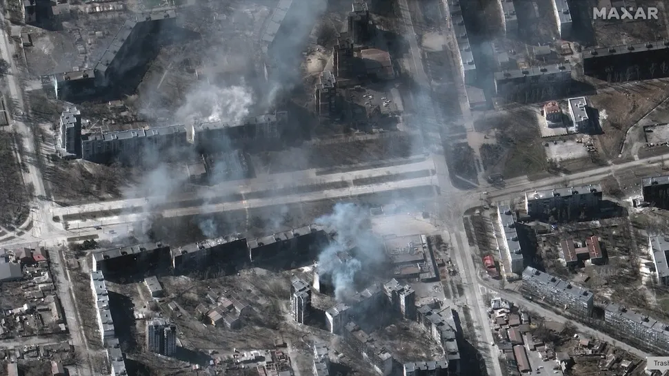
Satellite Data Reveals Hidden Patterns of War in Ukraine and Myanmar
Satellite observations can expose wartime destruction overlooked by conventional reporting and help researchers build more complete records of armed conflict, according to an international study published in Nature on September 9, 2026. The research combines satellite-derived damage assessments with media-based conflict data, using case studies from Ukraine and Myanmar to show how Earth observation can…
-

Xiopm SPACE’s Qin Jing: What Is the Real Commercial Value of Space-Based Computing?
In 2026, space-based computing emerged as a major new direction for the commercial space industry. What problems is it meant to solve, and where is the industry heading? Hello Space has launched the Space-Based Computing Interview Series, speaking with leading Chinese companies to examine the real progress being made in this emerging field. Our guest…
-
A Decade of Sentinel-1 Scanning the Globe: How Much Flooding Have We Been Missing?
Key takeaway: Several global flood datasets already exist, but their long-term records rely primarily on optical remote sensing from satellites such as MODIS and Landsat. Yet the most severe floods often occur under thick cloud cover. The real question this study seeks to answer is not “How can we detect floods one more time?” but…
-
First Geological Mapping Results from China-Saudi Geoscience Cooperation Released
Saudi Arabia’s Geological Survey released the first batch of 24 detailed 1:100,000-scale geological maps of the Saudi Arabian Shield on Sept. 11 during the Central Asia-West Asia Mining Investment Promotion Conference at the 2026 China International Mining Conference. Led by the China Geological Survey, the project represents a major milestone in China-Saudi geoscience cooperation and…
-
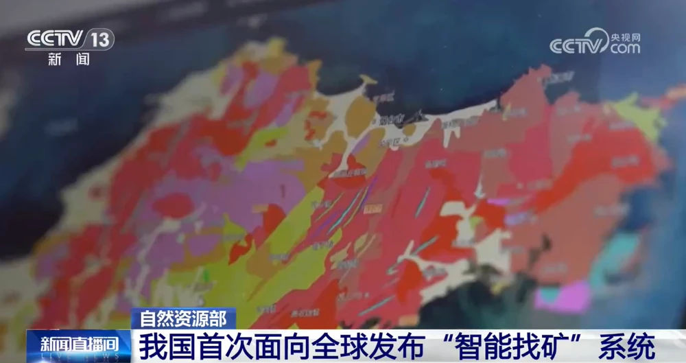
China Unveils First AI Systems for Geological Mapping and Mineral Prospecting
China’s Ministry of Natural Resources on Sept. 11 unveiled the AI-GeoMapping and AI-OreSeeking systems at the 2026 China International Mining Conference, marking the first global release of the two platforms. Developed independently by the China Geological Survey, the systems apply artificial intelligence across the full workflows of basic geological surveying and mineral exploration evaluation. The…
-

China Marks 666th Long March Flight with Six Remote-Sensing Satellites
China launched six remote-sensing satellites aboard a Long March 4B rocket Sept. 10, marking the 666th flight of the Long March family and adding new spacecraft for scientific experiments, land-resource surveys, agricultural monitoring and disaster reduction. The Long March 4B ignited at 5 p.m. Beijing time at the Jiuquan Satellite Launch Center and deployed Yaogan-53…
-
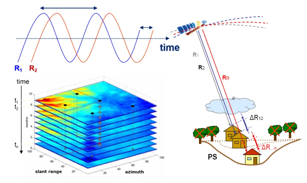
InSAR Monitoring for Infrastructure: Ground Subsidence and Geohazard Assessment
As the old saying goes, it’s better to catch a problem while it’s still small. For infrastructure such as railways, highways, bridges, tunnels, and buildings, many risks do not emerge suddenly. Slopes may deform slowly over months or longer. Railway or road foundations may continue to settle. Unusual ground movement may occur around bridges and…
-

What Imaging Capabilities Does Commercial Earth Observation Need in the AI Era?
In the era of AI in space, customers are not simply purchasing an image. What they truly need is timely, comprehensive information about where an event is occurring, how quickly it is changing, and how far its effects extend. As commercial Earth observation evolves from data products toward decision-support services, pricing is no longer determined…
-
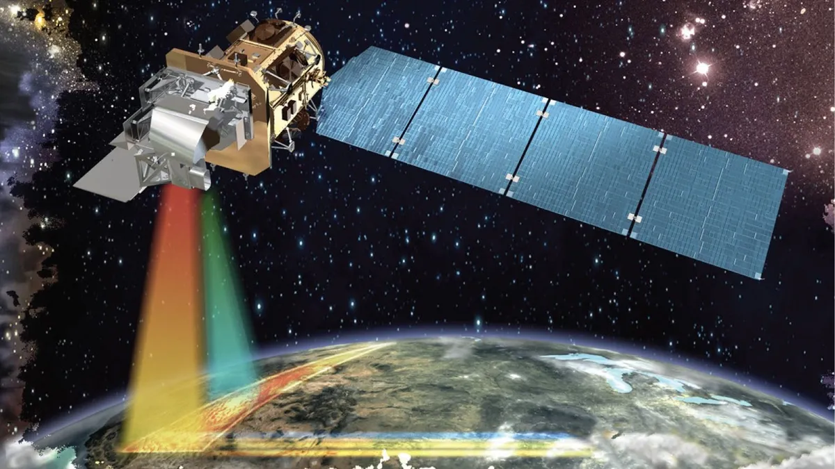
Private Satellites and AI Reshape Earth Observation as Security and Privacy Risks Grow
Commercial operators controlled 270 of the 472 Earth observation satellites identified by the U.S. Geological Survey in 2024, overtaking the 202 spacecraft operated by governments and accelerating a shift toward privately supplied imagery, analytics and geospatial intelligence. An OECD assessment published on February 10, 2026, said advances in sensors, cloud computing and artificial intelligence are…