
Tag: Satellite Imagery
-

4 Ways Investors Use Satellite Imagery
With over 400 imaging satellites orbiting our globe, never before has it been more affordable to obtain a bird’s eye perspective of Earth. Consequently, analysts have taken full advantage of this access and created multiple innovative ways to utilize satellite images for something other than just its beautiful sight. Even though many industries are gaining…
-
Enhancing News Coverage with Satellite Imagery Analysis
Satellite imagery can capture visuals of natural disasters, political conflicts, and environmental changes. Take this example from BAP Intel, a STARPATH GLOBAL customer who went from a hobbyist to a professional analyst by monitoring the Ukrainian border in 2022. The goal was to capture imagery to detect movement from the Russian government and document any changes.…
-
How Local Governments Use Satellite Data
Did you know that state and local governments use satellite imagery to increase efficiency in operations? Satellite data has become an indispensable tool for state and local governments to safeguard assets, conserve and manage their land resources, and react swiftly and effectively to unforeseen emergencies that may arise within their jurisdictions. With the help of…
-
Canada’s Contribution to Space: A Look at Canadian Satellites
Many countries contribute to space with satellites, but how many Canadian satellites exist? Canada has a long history of satellite technology and space research, including the development of the Canadarm, a remote-controlled robotic arm which deployed, captured and repaired satellites, positioned astronauts, maintained equipment, and moved cargo. The Canadian Space Agency (CSA) has played a…
-
What Is Temporal Resolution?
Temporal resolution, also known as re-visit rates, vary from different providers. Temporal resolution provides information on the time difference between the acquisitions of two images over the same area. Above all, the higher the temporal resolution, the shorter the time difference between the image acquisitions. Each satellite has a maximum number of visits per day…
-
What Is Archive?
Archive satellite imagery is a purchasing option for imagery that has already been collected. Archive imagery can be passively collected by satellites that continuously image the Earth. It can also be collected in response to tasking requests submitted for specific areas. Those who task imagery through providers agree to licensing and sharing terms, allowing individuals…
-
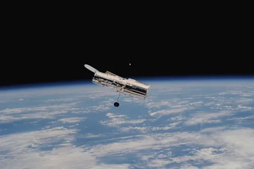
What is AOI?
AOI is an acronym for “Area of Interest.” Knowing your desired AOI will help you in planning your data collection with satellites to ensure you get the right technology in the right place and at the right time. In satellite imagery ordering and tasking workflows, an AOI describes the location for which you are requesting…
-
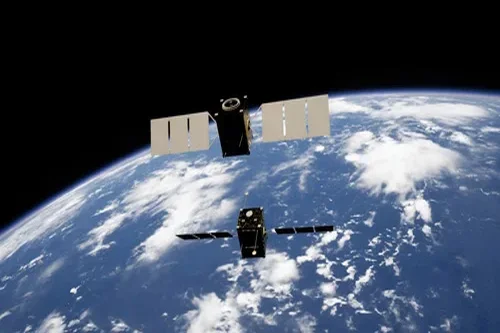
How To Use Satellite Imagery In A Utility Use Case
It can be difficult to picture using satellite imagery in different industries, but Earth Observation is a tool that can be used to help solve problems in our world, no matter how abstract. Let’s explore how satellite imagery is used in a utility use case. The goal of using satellite imagery in the utility industry…
-
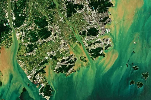
How Investors Use Satellite Imagery.
Commercial Real Estate Investments Commercial real estate developers are looking at long time horizons. They’re developing buildings that are going to be only in place in a few years, if not decades and hypothetically operational for decades to come. You’re looking at a property to ultimately build something on, and you want to make sure…
-
Earth Observation: Saving Lives In Oil And Gas
Managing Critical Infrastructure In Oil and Gas Oil and Gas is an industry where old practices are used for a long period of time and new technologies can be difficult to be introduced. However, satellite imagery is one of those technologies being introduced into the Oil and Gas industry and changing how operations are being…