
Tag: Satellite Imagery
-
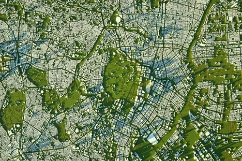
How To Buy Satellite Images
In today’s data-driven world, access to high-resolution geospatial data can transform how organizations interact with our planet. For industries like mining, government, energy, and construction, making critical decisions and gaining a competitive advantage depends on reliable, up-to-date information. Satellite imagery provides this crucial perspective, offering unparalleled insights for everything from site monitoring to emergency response.…
-
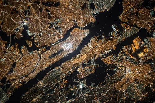
What Is Satellite Imagery? A Guide for Modern Businesses
From monitoring vast agricultural fields to planning the cities of tomorrow, the view from above offers unparalleled insights. Satellite imagery is transforming how industries operate, enabling organizations to make critical decisions with precision and foresight. These “eyes in the sky” provide a wealth of Earth observation data, driving efficiency, enhancing safety, and unlocking new possibilities.…
-

Cut Costs and Boost Efficiency in Renewable Energy Site Planning
As the world accelerates its transition to renewable energy, the need for strategic site selection and planning has never been greater. Solar farms, wind farms, and hydroelectric projects require careful consideration of environmental, geographical, and infrastructural factors to maximize efficiency and minimize impact. Traditionally, renewable energy site planning relied on field surveys and ground-based assessments—methods…
-
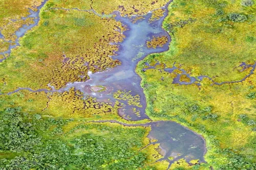
The New Standard in Solar Farm Monitoring: Faster, Safer, Smarter
As solar energy grows as a key renewable power source, monitoring and maintaining solar farms is essential. Doing this effectively helps maximize energy output and ensures long-term sustainability. Traditional monitoring often involves manual inspections and ground-based sensors, which can be expensive and time-consuming, and they may cover limited areas. However, satellite technology and remote sensing…
-
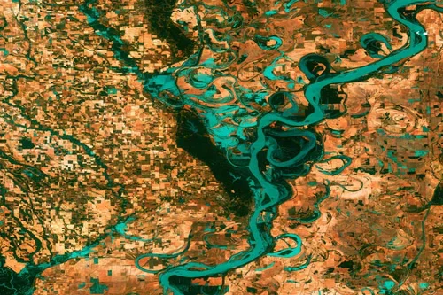
Revolutionizing Clean Energy: Wind Farm Mapping Tools That Deliver Results
As the world races toward decarbonization, wind energy has emerged as a vital pillar in the global transition to clean power. With governments setting aggressive renewable energy targets and utilities seeking dependable energy sources, wind farms are popping up across coastlines, plains, and mountain ridges. However, siting and developing a successful wind project involves more…
-
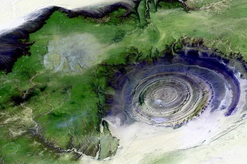
Solar Farm Site Selection Made Easy with Satellite Intelligence
With the global push towards renewable energy, solar farms have become an essential part of the transition to sustainable power. However, selecting the ideal location for a solar farm is no simple task. Traditional methods rely on extensive field surveys, which can be costly and time-consuming. Thanks to advancements in satellite imagery and geospatial technology,…
-
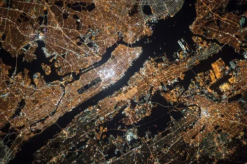
Oil and Gas Infrastructure Monitoring That Delivers Results
Oil and gas infrastructure monitoring is essential for maintaining the safety, efficiency, and sustainability of energy operations. With vast networks of pipelines, offshore platforms, refineries, and storage facilities spread across remote and often challenging environments, traditional monitoring methods can be costly, time-consuming, and reactive. However, advancements in remote sensing and satellite imagery have revolutionized oil…
-
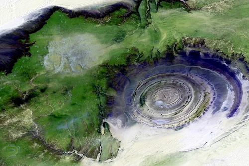
Remote Sensing for Oil Pipeline Monitoring: What You Need to Know
Example: Monitoring Oil Pipeline Infrastructure with Satellite Imagery An oil pipeline operator managing a 500-mile pipeline corridor across diverse terrain in North America implements a remote sensing strategy to monitor for risks, ensure regulatory compliance, and maintain environmental safety, particularly in remote or hard-to-access regions. Routine Corridor Inspections Using High-Resolution Optical Imagery The operator conducts…
-
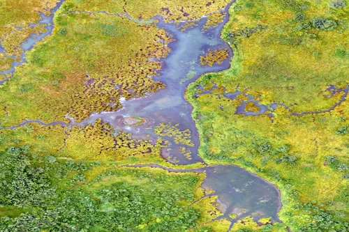
Drones vs Satellites: What’s Better for Project Site Monitoring?
In the Architecture, Engineering, and Construction (AEC) industry, project site monitoring is critical for maintaining timelines, managing resources, and ensuring regulatory compliance. Remote sensing technologies—particularly drones and satellites—have revolutionized how firms collect and analyze data at various project stages. While drones provide high-resolution, on-demand imagery with exceptional detail, satellite imagery offers broader coverage, consistent historical…
-
New Era of Oil Field Site Monitoring: Secure, Scalable, Smart
The oil and gas industry operates in some of the most challenging and remote environments on the planet. Ensuring efficiency, safety, and compliance in these locations requires constant monitoring. Traditionally, oil field site monitoring relied on on-ground inspections, aerial surveillance, and sensor-based systems. However, satellite imagery offers timely insights and large-scale coverage with unprecedented accuracy.…