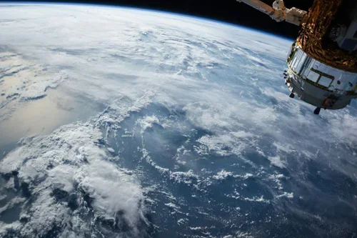
Tag: satellite remote sensing
-
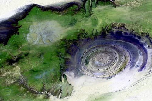
The Need for Environmental Impact Assessments of Oil Fields
Environmental impact assessments of oil fields are a common practice in the industry due to the risks involved in oil exploration and production. From land degradation to water contamination, the ecological footprint of oil fields can be substantial. As companies strive to balance resource extraction with environmental responsibility, advanced monitoring solutions are needed to track…
-
New Era of Oil Field Site Monitoring: Secure, Scalable, Smart
The oil and gas industry operates in some of the most challenging and remote environments on the planet. Ensuring efficiency, safety, and compliance in these locations requires constant monitoring. Traditionally, oil field site monitoring relied on on-ground inspections, aerial surveillance, and sensor-based systems. However, satellite imagery offers timely insights and large-scale coverage with unprecedented accuracy.…
-
Enhancing News Coverage with Satellite Imagery Analysis
Satellite imagery can capture visuals of natural disasters, political conflicts, and environmental changes. Take this example from BAP Intel, a STARPATH GLOBAL customer who went from a hobbyist to a professional analyst by monitoring the Ukrainian border in 2022. The goal was to capture imagery to detect movement from the Russian government and document any changes.…