
Tag: Soil Mapping
-
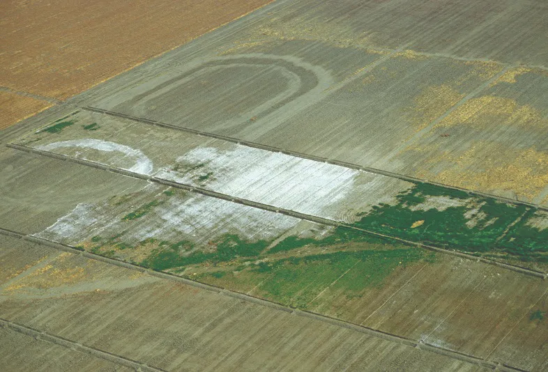
Can Satellite Imagery Detect Soil Salinity?
Satellite imagery can reveal exposed salt crusts, identify crop patterns consistent with salt stress, and support soil salinity estimates calibrated against ground measurements. These are three different results. A bright patch of soil or a low vegetation index alone cannot establish how saline the soil is, particularly below the surface. For agricultural monitoring, the useful…