
Tag: spatial resolution
-
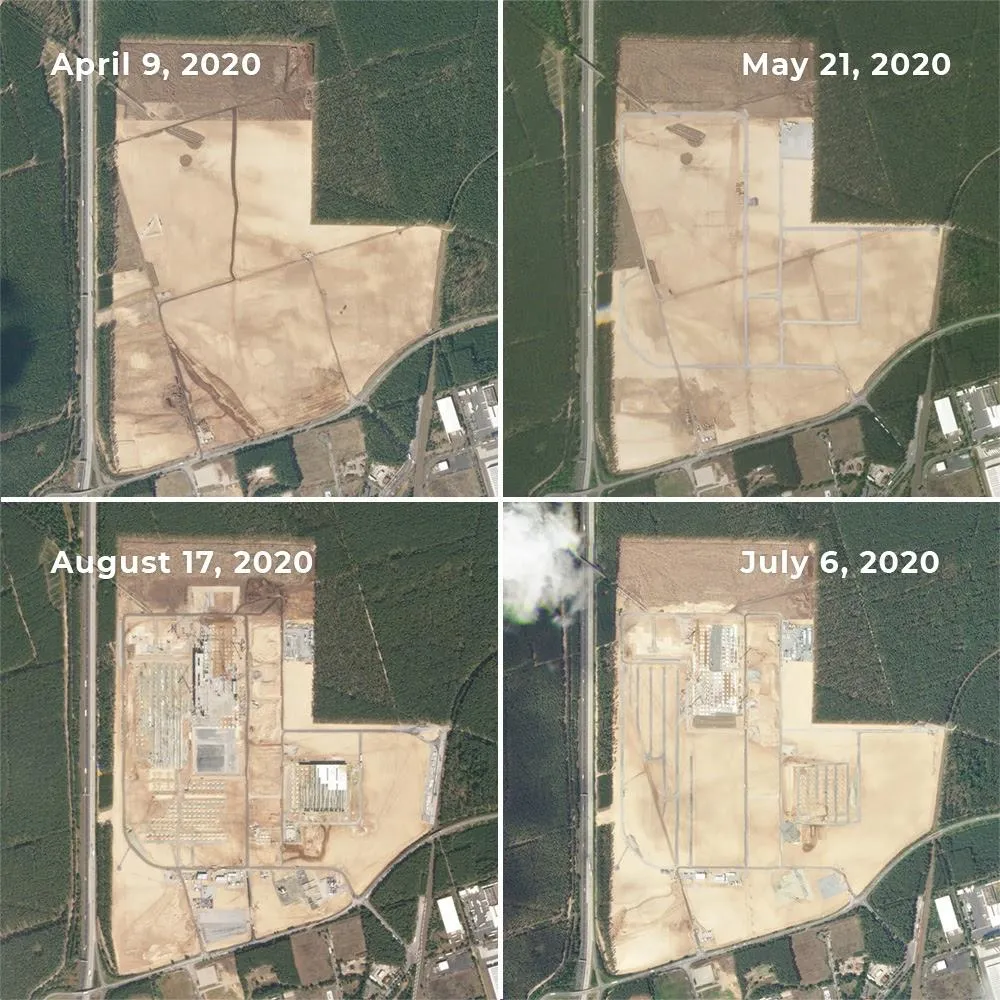
Can Satellite Imagery Detect Early-Stage Construction?
Satellite imagery can reveal construction activity before a building is completed—and sometimes before its structure appears. Land clearing, exposed soil and expanding work areas can provide early signals. But reliably identifying a small foundation or building extension requires much finer imagery than detecting a large construction site. The result depends on the size of the…
-

What Is Spatial Resolution?
Resolution refers to the spatial resolution a data product has. Spatial resolution can be defined as the amount of data on the ground a single image pixel represents. A 50cm spatial resolution product has 1 pixel representing a 50cm x 50cm area on earth. A 10m spatial resolution product has 1 pixel representing a 10m…