
Tag: Thermal Infrared
-
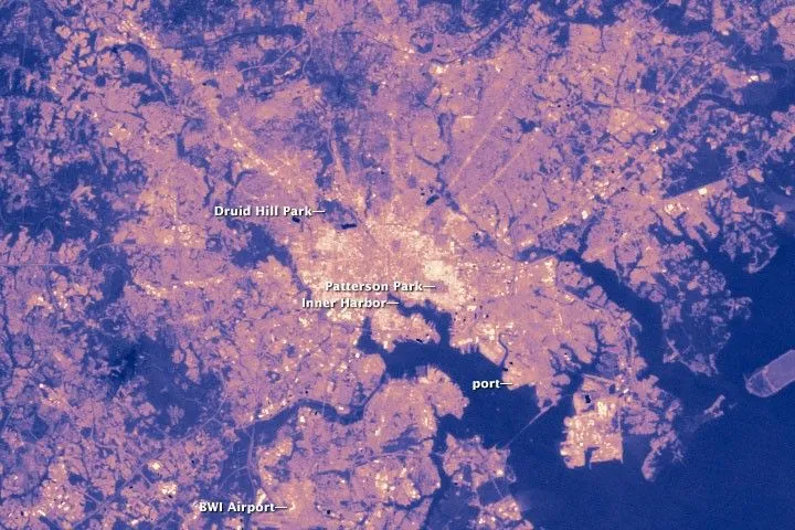
Why Satellite Surface Temperature Differs from Air Temperature
A satellite temperature map can show a hot industrial district while a nearby weather station reports a much lower temperature. Both observations may be correct. The satellite estimates the temperature of visible surfaces, while the station measures the air around its sensor. These measurements describe different parts of the urban environment and should answer different…