Tag: Urban
-

Can satellite analytics support smart city development?
Yes, satellite analytics can play a significant role in supporting smart city development by providing comprehensive geospatial intelligence that helps cities improve efficiency, sustainability, resilience, and quality of life. As urban areas become increasingly connected and data-driven, Earth observation technologies contribute valuable information that complements sensors, IoT networks, operational systems, and urban analytics platforms. Smart…
-

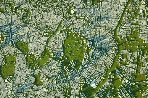
How is population or land use analysis derived from satellite data?
Satellite data plays a vital role in population estimation and land use analysis by providing detailed observations of human settlements, built environments, and landscape characteristics. Although satellites do not directly count people, Earth observation technologies can generate valuable indicators that help analysts understand population distribution, urban density, and land utilization patterns across geographic regions. Land…
-

What urban infrastructure can be mapped using Earth observation?
Earth observation technologies can map and monitor a wide range of urban infrastructure assets, providing valuable information for city governments, planners, utility operators, transportation agencies, developers, and infrastructure managers. Satellite imagery offers a scalable and cost-effective method for maintaining visibility across large urban areas while supporting planning, maintenance, and investment decisions. Buildings are among the…
-
How can satellite data support city planning and expansion monitoring?
Satellite data has become an increasingly important resource for city planning, urban management, and expansion monitoring. As urban populations continue to grow and cities face increasing demands on infrastructure, housing, transportation, and public services, Earth observation technologies provide planners and decision-makers with timely, objective, and large-scale insights into how urban environments are evolving. One of…