
Tag: Utility
-
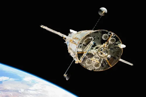
How does satellite data improve utility maintenance planning?
Satellite data significantly improves utility maintenance planning by providing timely, large-scale insights into infrastructure conditions, environmental risks, and operational priorities. By enabling utilities to monitor extensive asset networks more efficiently, Earth observation technologies support proactive maintenance strategies that help reduce costs, improve reliability, and enhance operational resilience. Traditional maintenance planning often relies on scheduled inspections,…
-
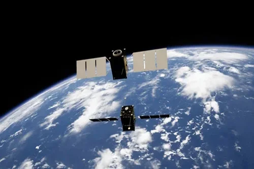
How To Use Satellite Imagery In A Utility Use Case
It can be difficult to picture using satellite imagery in different industries, but Earth Observation is a tool that can be used to help solve problems in our world, no matter how abstract. Let’s explore how satellite imagery is used in a utility use case. The goal of using satellite imagery in the utility industry…