
Tag: Wildfires
-
Beyond Extreme Weather Forecasts: How AI Connects Satellite Monitoring, Disaster Science and Early Warning
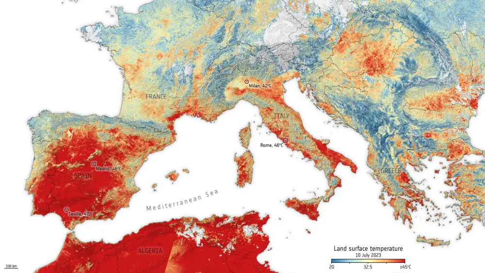
Research into extreme weather and climate events has no shortage of individual forecasting algorithms. The harder challenge is identifying warning signs in noisy Earth observation data with inconsistent scales and few examples of extremes, tracing the mechanisms behind those signals, and translating predictions into credible, actionable risk information. Focusing on floods, droughts, heatwaves and wildfires,…
-
After 2.88 Million Hectares Burned: Why Indonesia’s Wildfires Are Becoming a Business Risk
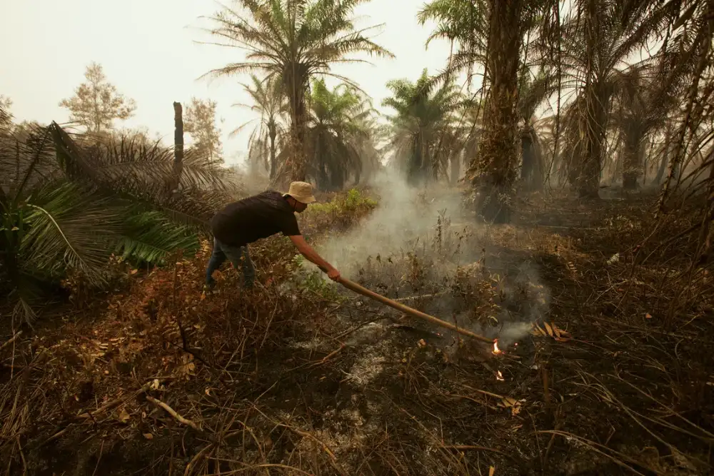
Indonesia’s 2026 fire season is highlighting the operational and land-management risks facing plantation and forestry operators. According to AFP’s 11 November 2026 report, Nusantara Atlas estimated that approximately 2.88 million hectares of land in Indonesia were affected by fire between January and October 2026, exceeding the full-year 2019 figure in the same monitoring series. Smoke…
-
This Week In Spaceflight: Vulcan fires up, Canadian fires from space, and JWST deep field data
A variety of methalox rockets are approaching launch, with the United Launch Alliance’s (ULA) Vulcan rocket completing its flight readiness firing. What’s more, the wildfires currently raging in Canada have been studied from space using a plethora of weather observation satellites, and the James Webb Space Telescope’s (JWST) advanced extragalactic survey data was officially released.…
-
Satellites reveal just how bad the wildfires are in Alberta’s oil-sand country
A color-coded image from the Landsat 8 satellite’s Operational Land Imager shows fire and smoke in the vicinity of Fort McMurray in Alberta, Canada. The red spots indicate active fires. Smoke appears white, and burned areas appear brown. The image was acquired May 5. (Credit: NASA / USGS) Canadian firefighters are still struggling to get…