
Wildfire
-
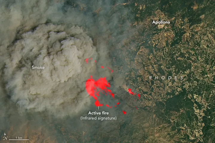
How Onboard AI Can Cut Hours from Wildfire Alerts
Read more →: How Onboard AI Can Cut Hours from Wildfire AlertsWhen a wildfire starts, the earliest response window can make an enormous difference. A small fire may still…
-
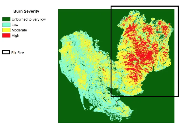
How to Assess Wildfire Burn Severity with Satellite Imagery
Read more →: How to Assess Wildfire Burn Severity with Satellite ImageryAfter a wildfire, mapping the affected area is only the first step. Forest managers also need to understand…
-
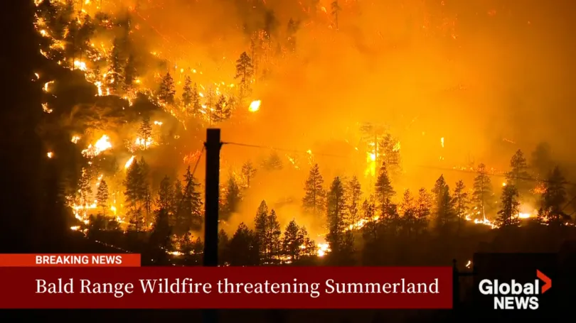
The Bald Range Wildfire Exploded in Size Within Hours: How Satellite Data Can Close the Speed Gap Between Disaster and Decision-Making
Read more →: The Bald Range Wildfire Exploded in Size Within Hours: How Satellite Data Can Close the Speed Gap Between Disaster and Decision-MakingThe Bald Range wildfire in British Columbia’s Southern Interior was first reported on the evening of August 7,…
-
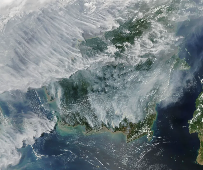
Rising Peatland Fire Risk in Southeast Asia: How Satellite Monitoring Strengthens Early Warning and Transboundary Haze Prevention
Read more →: Rising Peatland Fire Risk in Southeast Asia: How Satellite Monitoring Strengthens Early Warning and Transboundary Haze PreventionSouthern Southeast Asia has entered its traditional dry season. As hotter and drier conditions develop, fire and smoke…
-
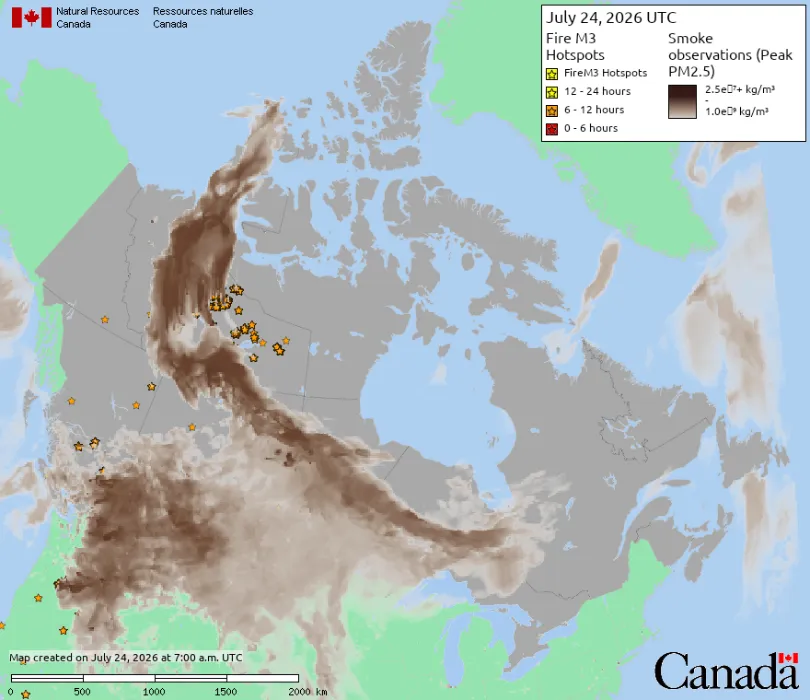
Wildfire Smoke from Canada Crosses into the United States: How Satellite Data Supports Wildfire Monitoring and Environmental Management
Read more →: Wildfire Smoke from Canada Crosses into the United States: How Satellite Data Supports Wildfire Monitoring and Environmental ManagementIn mid-July 2026, smoke from wildfires burning across central Canada continued spreading southeast across the U.S.-Canada border, pushing…