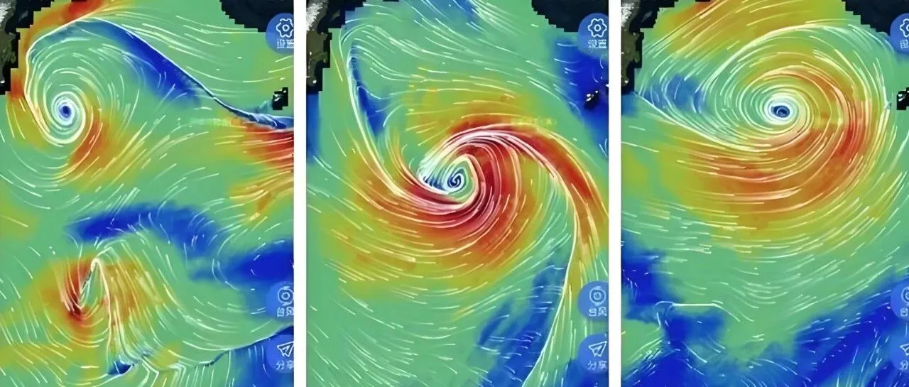
Marine environmental information is fundamental to major national projects and offshore activities, while satellite remote sensing is one of the most important tools for understanding the ocean. Could artificial intelligence make marine environmental services more timely and better able to meet the practical needs of marine engineering, maritime transport, aquaculture and underwater exploration?
Why Is Marine Environmental Information Becoming Increasingly Important?
The ocean is not the domain of a single discipline but a highly integrated field of application. Marine engineering, maritime transport, aquaculture, marine resource development, underwater exploration and maritime security all depend on accurate and continuous marine environmental information.
Take the Hong Kong-Zhuhai-Macao Bridge as an example. The construction of cross-sea bridges and subsea tunnels requires more than monitoring surface winds and waves. Engineers must also understand variations in currents, temperature, salinity and tides across different locations and depths. This information is needed to schedule construction activities, assess environmental impacts during structural design and continuously monitor sea conditions once the infrastructure enters operation.
For maritime transport, currents, winds and waves affect both navigational safety and energy consumption. In aquaculture, temperature, salinity and currents influence site selection and production planning. For underwater exploration and marine resource development, a three-dimensional understanding of the marine environment is essential.
Marine environmental services must therefore address a combination of needs spanning multiple industries, operational scenarios and timescales. Users need to know not only what the ocean looks like at a particular moment, but also how conditions are changing and what may happen next.
The Limitations of Traditional Satellite Remote-Sensing Services
The conventional satellite remote-sensing workflow consists of satellite observation, data downlink, ground processing, product generation and delivery to users.
In marine applications, however, this model faces significant timeliness challenges. Ocean activities are global and continuous. Fishing vessels, offshore projects, long-distance shipping and underwater operations do not necessarily coincide with satellite overpasses, ground-station coverage or the completion of data processing.
Once data has been collected, it must still be downlinked, decoded, processed and distributed. If users receive information describing ocean conditions from many hours—or even a day—earlier, it may no longer satisfy real-time or near-real-time operational requirements.
“Marine users do not need to know what the ocean environment looked like a day ago. They need to know what it looks like now, or even what it will look like over the next few days,” said an expert from the school of artificial intelligence at a leading university.
Satellite observations also have inherent limitations. Orbital patterns and revisit cycles mean that observations cannot cover every location at every moment. Remote-sensing data primarily reflects surface conditions, while electromagnetic waves cannot easily penetrate seawater to directly reveal conditions in the deep ocean.
Yet many practical applications need answers to more than “What is happening at the surface right now?” They also need to know what is happening underwater and how conditions will evolve over the coming days.
The central challenge for ocean satellite remote sensing is therefore how to transform limited, discrete and localized observations into continuous, three-dimensional and forward-looking marine environmental information.

Onboard in-orbit processing versus conventional ground-based processing
How Can AI Transform Ocean Satellites from Observation Platforms into Intelligent Service Nodes?
Filling Gaps in Observations
Satellite observations are periodic, meaning marine datasets frequently contain missing measurements or spatial gaps. AI can reconstruct and fill in this missing information using historical observations, data from neighboring areas and the principles of ocean dynamics.
Although this may resemble image completion, it is not simply a matter of “filling in colors” on a map. The marine environment follows its own physical patterns. Reconstructed results must therefore be visually continuous while remaining consistent with the behavior of currents, temperature, salinity and other variables.
In other words, marine AI must infer conditions in unobserved areas under the combined constraints of observational data and physical laws. This approach can transform discrete satellite observations into more continuous representations of the marine environment.
Inferring Conditions Below the Ocean Surface
Satellites primarily provide information about the ocean surface. However, marine engineering, underwater exploration, submersible operations and aquaculture also require information about subsurface conditions, particularly the vertical distribution of currents, temperature and salinity.
“Satellites observe the ocean surface. AI must use the laws governing the ocean to infer the underwater world,” the expert explained.
In this context, inference means using observations such as sea-surface temperature, ocean color and sea-surface height, together with historical data, buoy measurements and knowledge of ocean dynamics. AI can then establish relationships between surface conditions and the deep-ocean environment to retrieve and model the ocean’s internal structure.
Through this process, satellite remote sensing can provide more than images of the ocean surface. It can support the creation of three-dimensional marine environmental products containing information at different depths.
Forecasting Future Changes from Current Conditions
If the first two capabilities allow us to see more completely and more deeply, marine forecasting allows us to see further into the future.
The expert’s team is developing a forward-looking marine environmental forecasting model that predicts changes over a given period based on current ocean conditions. According to the presentation, the model can generate forecasts extending up to 10 days.
Compared with conventional numerical models, AI models offer a major advantage in computational speed. Traditional forecasting requires the solution of complex physical equations and can involve lengthy computing cycles. After extensive training and optimization, AI models can generate predictions rapidly, producing significant—and potentially orders-of-magnitude—improvements in computational efficiency.
AI is not, however, a simple replacement for physical models. Marine forecasts must comply with fundamental physical laws. A more reliable path is to integrate AI, observational data and ocean-dynamics models, improving forecasting efficiency while preserving scientific validity.
Future Trends
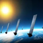
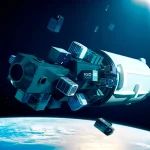
As intelligent satellites, AI models and marine operational systems become more deeply integrated, ocean satellite remote sensing will increasingly draw on onboard computing, AI models and inter-satellite links. Satellites will be able to screen and process data in orbit, extract marine environmental information and rapidly transmit the resulting products to the ground.
Instead of receiving raw imagery that still requires processing, users will gain access to ready-to-use environmental products covering currents, temperature, salinity and other variables.
This integrated space-air-ground model could shift marine remote-sensing services away from the conventional sequence of satellite observation, ground processing and user delivery. In its place, onboard rapid processing, inter-satellite transmission and coordinated ground applications could form a more responsive service system.
Some marine environmental information could potentially reach users within minutes, better supporting the real-time requirements of offshore engineering, vessel navigation, aquaculture and underwater operations.
As marine operations become increasingly data-driven, timely and actionable environmental intelligence will be essential to safer, more efficient decision-making at sea. Explore STARPATH GLOBAL’s maritime solutions, or connect with our FDE engineers to discuss how satellite data, AI and tailored technical capabilities can support your specific operational requirements.