
Tag: Earth observation
-

Can Optical Satellites Keep Tracking Floods When Clouds Block the View?
In brief: Landsat and Sentinel-2 can capture flood details well, but they are most vulnerable to the very condition that often accompanies major flooding: cloud cover. Rather than trying to generate a visually plausible cloud-free optical image, this study directly reconstructs whether the surface beneath the clouds is water or non-water. The researchers combined Harmonized…
-
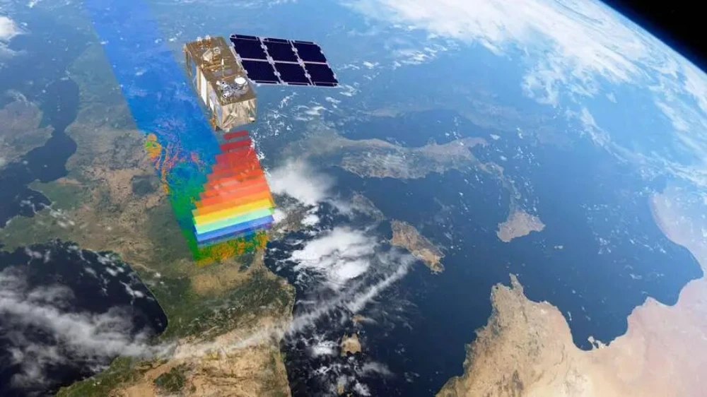
From Imaging to Intelligence: How Smart Remote-Sensing Satellites Are Changing the Market
Several smart remote-sensing satellites have recently been launched in China and other countries, entering a rapidly expanding applications market and attracting growing industry attention. But what does it mean for a remote-sensing satellite to become “smart”? What benefits could onboard intelligence provide, and how might it help satellite operators reach new markets and deliver services…
-

ESA and ISRO Extend Space Cooperation Agreement Through January 2032
The European Space Agency and the Indian Space Research Organisation signed an exchange of letters in Paris on September 10, 2026, extending their bilateral Cooperative Agreement for five years, through January 8, 2032. Signed during the International Space Summit, the extension adds space weather and human and robotic exploration to a framework that already supports…
-
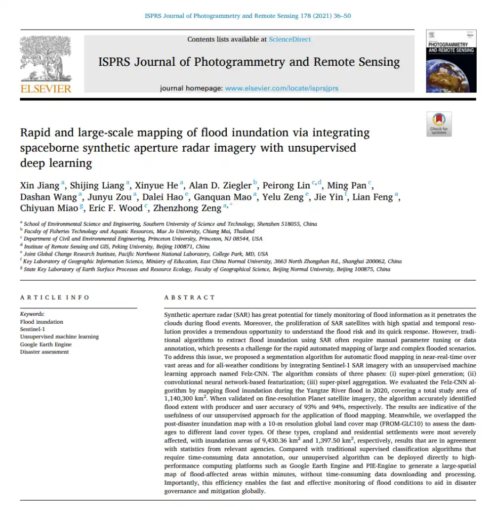
Can SAR Map Floods Without Manual Labels or Threshold Tuning?
In brief: Conventional SAR-based flood mapping often runs into two obstacles: thresholds must be adjusted repeatedly by hand, while supervised learning requires large volumes of labeled data. This paper proposes Felz-CNN, also known as the adaptive unsupervised Felz-CNN segment system (AUFCS). The method first uses Felzenszwalb superpixels to divide a SAR image into many internally…
-
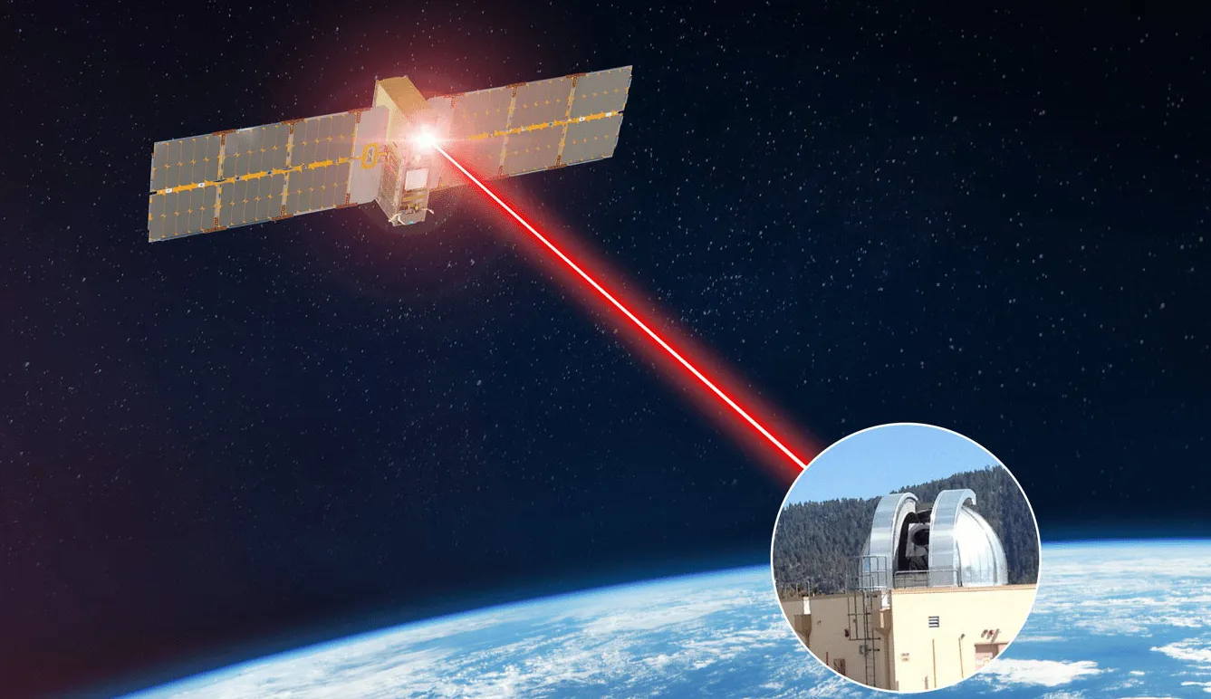
Space-Based Optical Communications Move From Flight Demonstrations to Operational Networks
Space-based optical communications are moving from experimental missions toward operational deployment as satellite operators seek higher-capacity alternatives to congested radio-frequency links. An industry assessment published September 20 said space-qualified laser terminals are now supporting data rates of up to 10 gigabits per second in orbital applications, while standardized optical inter-satellite links are becoming part of…
-

Russian Satellite Imagery Reportedly Supports Iranian Targeting of U.S. Bases
Russian Earth observation satellites are providing imagery to Iranian military forces to support targeting of U.S. and allied installations across the Middle East, according to defense intelligence assessments reported on September 17, 2026. The reported cooperation involves synthetic aperture radar and high-resolution optical imagery used to refine information on fixed military sites, air-defense positions and…
-

China Launches Four Rockets in 45 Hours as Broadband Constellation Deployment Accelerates
China completed four orbital launches with four different rockets in just over 44 hours between September 15 and 17, 2026, deploying satellites from Jiuquan, an offshore platform east of Shanghai, and the Hainan Commercial Space Launch Site. The sequence involved two commercially developed launch vehicles and two rockets operated by state-owned groups, highlighting the growing…
-
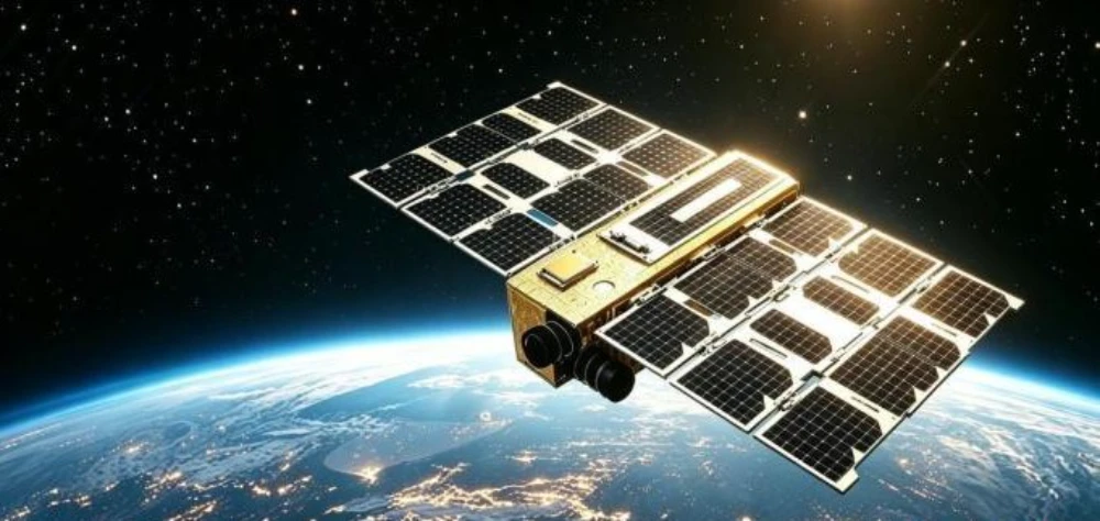
Successful Launch Does Not Mean Delivery Is Complete: Key Stages of In-Orbit Satellite Delivery
On September 13, during the 2026 China International Fair for Trade in Services (CIFTIS), Beijing Kaiyun United Information Technology Group Co., Ltd. (“Kaiyun Group”), PICC Property and Casualty Company Limited Zhejiang Branch, Beijing Hangbiao Times Testing and Certification Co., Ltd., and Sipai (Beijing) Insurance Brokerage Co., Ltd. signed a strategic cooperation agreement to develop commercial…
-
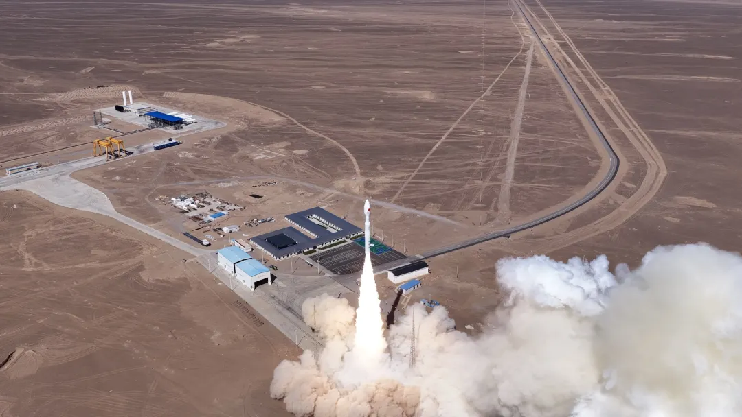
China Launches Nine Satellites on Kinetica 1, Including Orbital AI and 5G Testbeds
China launched nine satellites aboard a Kinetica 1 Y18 rocket from the Dongfeng Commercial Space Innovation Pilot Zone at 12:03 p.m. Beijing Time on September 20, 2026. The satellites entered their planned orbits, marking the 16th flight of the Kinetica 1 launch vehicle. The mission carried the Qinling-01 and Qinling-02 satellites, Pujiang-4, PEGA-SUS1, Diting-01 Group…
-
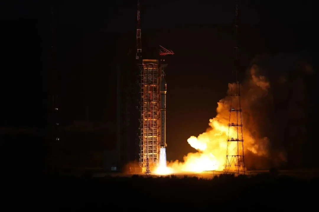
China Launches Four PIESAT-2 Radar Satellites With Onboard Data Processing
China launched four PIESAT-2 synthetic aperture radar satellites on September 19, expanding a commercial Earth-observation constellation designed for high-resolution, all-weather monitoring. A Long March 2D rocket lifted off from the Taiyuan Satellite Launch Center at 6:50 p.m. Beijing Time and placed the PIESAT-2 13–16 satellites into their planned orbits. The four satellites belong to Zhuzhou…