
Tag: Earth observation
-
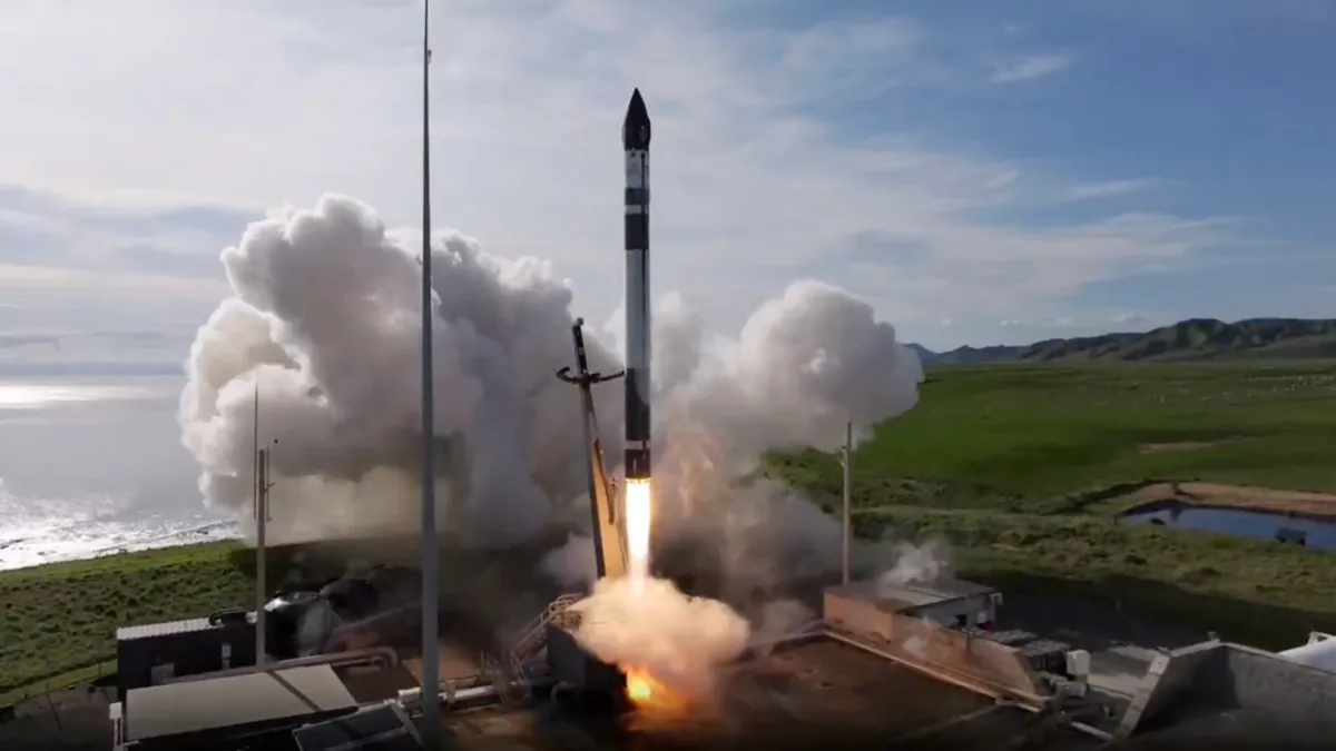
Rocket Lab Launches 12th StriX Radar Satellite for Synspective (Video)
An Electron rocket launched a synthetic aperture radar (SAR) spacecraft for the Tokyo-based company Synspective from Rocket Lab’s New Zealand site on Sept. 18, 2026 at 11:22 p.m. EDT (0322 GMT and 3:22 p.m. local time on Sept. 19). Credit: Rocket Lab Rocket Lab launched Synspective’s 12th StriX synthetic aperture radar satellite on September 19,…
-
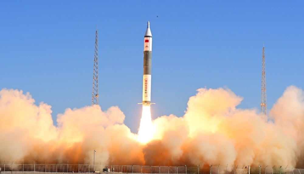
China Launches Tianyi-51 and Tianyi-52 Satellites on Kuaizhou-11 Rocket
At 10:40 a.m. Beijing time on September 17, 2026, China launched the Tianyi-51 and Tianyi-52 satellites aboard a Kuaizhou-11 Y3 rocket from the Jiuquan Satellite Launch Center. Both satellites entered their planned orbits, completing the mission successfully. The satellites form a commercial, mid-inclination interferometric synthetic aperture radar (InSAR) pair designed to monitor changes in the…
-
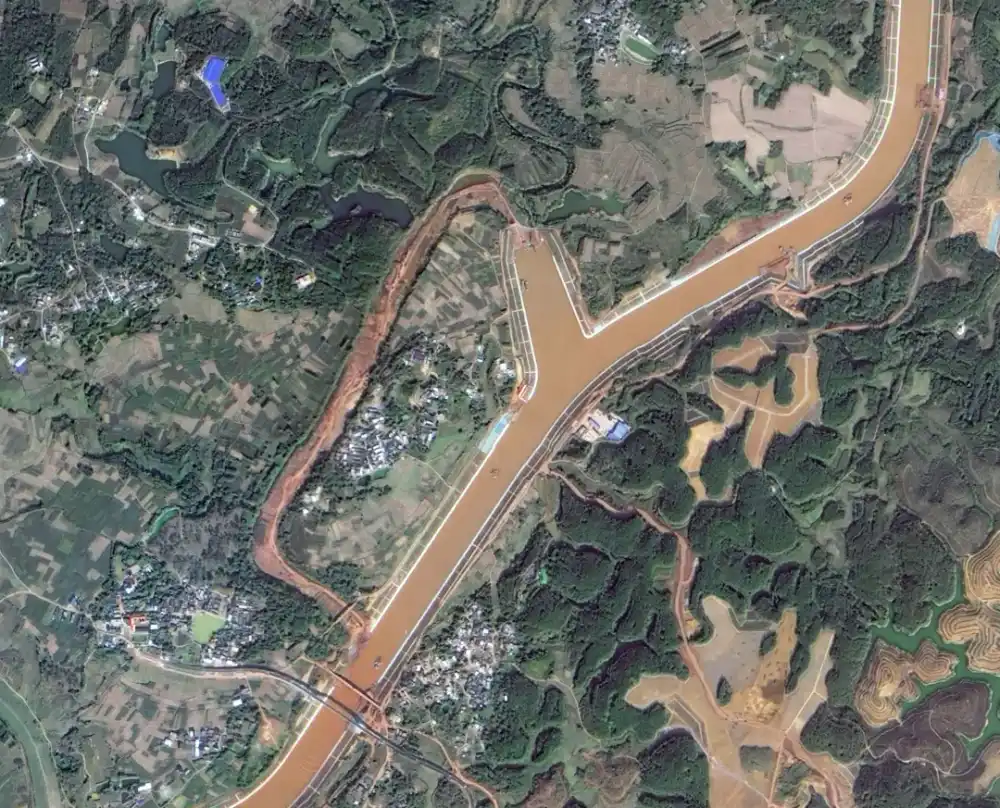
Pinglu Canal Officially Opens to Shipping: Satellite Images Capture China’s Project of the Century
China’s 134.2-kilometer Pinglu Canal officially opened to navigation on September 16, 2026, creating a direct waterway between the Xijiang River system and the Beibu Gulf. Satellite imagery released by the China Centre for Resources Satellite Data and Application provides a corridor-wide view of the RMB 72.7 billion project and records the construction of new channels,…
-
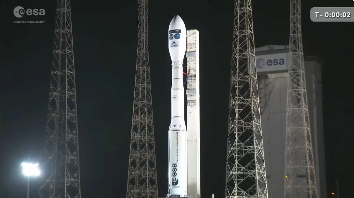
Vega-C Launches FLEX and Sentinel-3C on Dual Earth Observation Mission (Video)
A Vega C rocket launched the FLEX and Copernicus-3C satellites from Europe’s Spaceport in Kourou, French Guiana on Sept. 14, 2026 at 9:21 p.m. EDT (10:21 p.m. local time in Kourou and 0121 GMT on Sept. 15). Credit: ESA Europe’s Vega-C rocket launched ESA’s FLEX research satellite and the European Union’s Copernicus Sentinel-3C environmental monitoring…
-

From Snow and Ice Retreat in 2010 to an Ice Avalanche in 2016 and Crack Coalescence Two Days Before the Disaster: How Satellites Reconstructed a Decade of Progressive Rock-Slope Failure
The Chamoli slope did not suddenly fail on 7 February: Satellite data reveal a decade of progressive deterioration before the rockslide. At a glance: The Chamoli disaster of 7 February 2021 appeared to be a sudden rock–ice avalanche in the high mountains. This paper, however, focuses not on how far the post-failure flood traveled, but…
-

Open Cosmos Raises $348 Million, Reaches $1 Billion Valuation
UK-based satellite manufacturer and operator Open Cosmos closed a €300 million ($348 million) Series C round on September 14, 2026, lifting its valuation above $1 billion and making it Europe’s newest space unicorn. The company plans to use the capital to expand satellite production, ground infrastructure and its proprietary Earth observation and broadband constellations for…
-

Satellite Data Reveals Hidden Patterns of War in Ukraine and Myanmar
Satellite observations can expose wartime destruction overlooked by conventional reporting and help researchers build more complete records of armed conflict, according to an international study published in Nature on September 9, 2026. The research combines satellite-derived damage assessments with media-based conflict data, using case studies from Ukraine and Myanmar to show how Earth observation can…
-

Xiopm SPACE’s Qin Jing: What Is the Real Commercial Value of Space-Based Computing?
In 2026, space-based computing emerged as a major new direction for the commercial space industry. What problems is it meant to solve, and where is the industry heading? Hello Space has launched the Space-Based Computing Interview Series, speaking with leading Chinese companies to examine the real progress being made in this emerging field. Our guest…
-
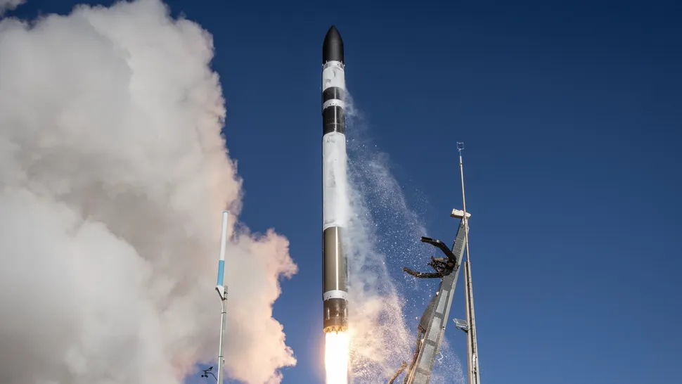
Rocket Lab Deploys Confidential Earth Observation Satellite on 95th Launch
Rocket Lab launched a single Earth observation satellite for an undisclosed commercial customer on September 11, deploying the spacecraft into a 500-kilometer circular low Earth orbit during the company’s 95th launch. The dedicated “Happily Ever Faster” mission lifted off aboard an Electron rocket from Launch Complex 1 on New Zealand’s Māhia Peninsula at 3:28 p.m.…
-

Air-Breathing Plasma Thruster Targets Sustained Satellite Operations in Very Low Earth Orbit
An atmosphere-breathing plasma propulsion system developed at the University of Stuttgart could allow satellites to operate for extended periods in very low Earth orbit by collecting atmospheric particles and using them as propellant. Created by Francesco Romano as part of his doctoral research, the experimental system combines a high-efficiency intake with a contactless radio-frequency helicon…