
Author: starpathwp-production
-
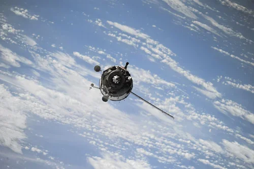
How can satellite data be used for power grid monitoring?
Satellite data has become an increasingly valuable tool for power grid monitoring, providing utility operators with broad-area visibility into transmission networks, substations, generation facilities, and surrounding environmental conditions. As power infrastructure expands across large geographic regions and utilities face growing demands for reliability and resilience, Earth observation technologies offer scalable monitoring capabilities that complement traditional…
-

Can satellite analytics support smart city development?
Yes, satellite analytics can play a significant role in supporting smart city development by providing comprehensive geospatial intelligence that helps cities improve efficiency, sustainability, resilience, and quality of life. As urban areas become increasingly connected and data-driven, Earth observation technologies contribute valuable information that complements sensors, IoT networks, operational systems, and urban analytics platforms. Smart…
-
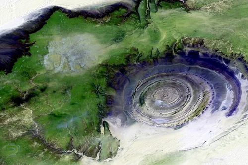
How is population or land use analysis derived from satellite data?
Satellite data plays a vital role in population estimation and land use analysis by providing detailed observations of human settlements, built environments, and landscape characteristics. Although satellites do not directly count people, Earth observation technologies can generate valuable indicators that help analysts understand population distribution, urban density, and land utilization patterns across geographic regions. Land…
-

What urban infrastructure can be mapped using Earth observation?
Earth observation technologies can map and monitor a wide range of urban infrastructure assets, providing valuable information for city governments, planners, utility operators, transportation agencies, developers, and infrastructure managers. Satellite imagery offers a scalable and cost-effective method for maintaining visibility across large urban areas while supporting planning, maintenance, and investment decisions. Buildings are among the…
-
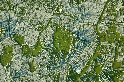
How can satellite data support city planning and expansion monitoring?
Satellite data has become an increasingly important resource for city planning, urban management, and expansion monitoring. As urban populations continue to grow and cities face increasing demands on infrastructure, housing, transportation, and public services, Earth observation technologies provide planners and decision-makers with timely, objective, and large-scale insights into how urban environments are evolving. One of…
-
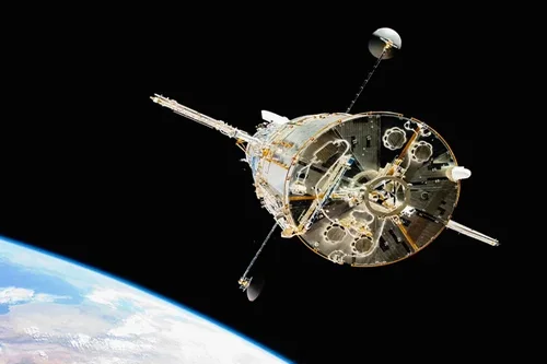
What role does geospatial data play in catastrophe modeling?
Geospatial data is a foundational component of catastrophe modeling, providing the spatial context needed to understand hazards, exposure, vulnerability, and potential losses associated with natural and human-induced disasters. Insurance companies, reinsurers, catastrophe modelers, government agencies, and risk managers rely on geospatial information to quantify risk and evaluate the potential impacts of extreme events across different…
-
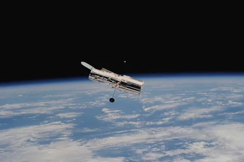
How does satellite data improve claims verification?
Satellite data enhances claims verification by providing objective, independent, and geographically consistent evidence that can support the evaluation of insurance claims following natural disasters, environmental incidents, and other insured events. By supplementing traditional claims processes with geospatial intelligence, insurers can improve efficiency, strengthen decision-making, and reduce uncertainty during investigations. One of the key challenges in…
-
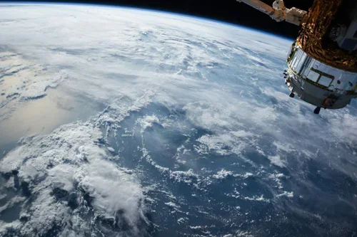
Can satellite imagery support disaster damage evaluation?
Yes, satellite imagery plays a critical role in disaster damage evaluation by providing rapid, large-scale visibility into affected areas following natural catastrophes and other major events. Insurance companies, reinsurers, government agencies, emergency response organizations, and loss adjusters increasingly rely on Earth observation data to assess impacts, estimate losses, and prioritize response activities when timely information…
-
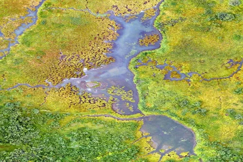
How is satellite data used in insurance risk assessment?
Satellite data has become an increasingly valuable resource for insurance risk assessment, providing insurers, reinsurers, brokers, and risk managers with objective geospatial information that supports underwriting, portfolio analysis, and exposure management. By delivering consistent observations across large geographic areas, Earth observation technologies help organizations evaluate risks more accurately and make better-informed decisions throughout the insurance…
-
What insights can satellite data provide for shipping routes?
Satellite data provides a wide range of insights that help shipping companies, logistics providers, maritime authorities, insurers, and analysts better understand vessel movements, optimize operations, and manage risks across global shipping networks. By offering visibility into both vessel activity and environmental conditions, Earth observation technologies contribute significantly to modern maritime decision-making. One of the most…