
Author: starpathwp-production
-
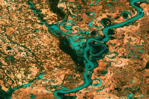
How is port activity monitored from space?
Satellite monitoring has become an increasingly valuable method for observing port operations, trade flows, infrastructure development, and maritime logistics activity. By providing regular observations of ports and surrounding transportation networks, Earth observation systems enable organizations to gain insights into operational conditions without requiring on-site presence. Ports are critical nodes within global supply chains, and their…
-
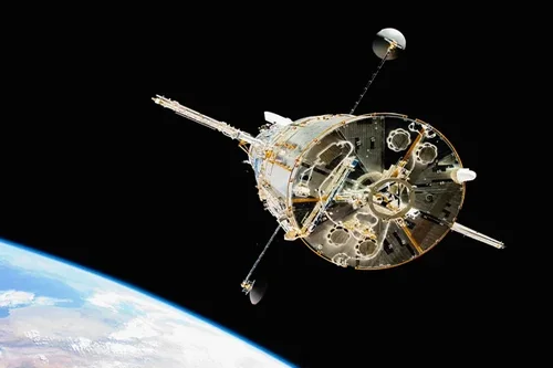
Can satellite intelligence detect illegal fishing activities?
Yes, satellite intelligence has become one of the most effective tools for detecting, monitoring, and investigating illegal, unreported, and unregulated (IUU) fishing activities. By combining satellite imagery, vessel tracking data, geospatial analytics, and behavioral analysis, organizations can identify suspicious maritime activity across vast ocean regions that would otherwise be difficult to monitor using traditional methods…
-
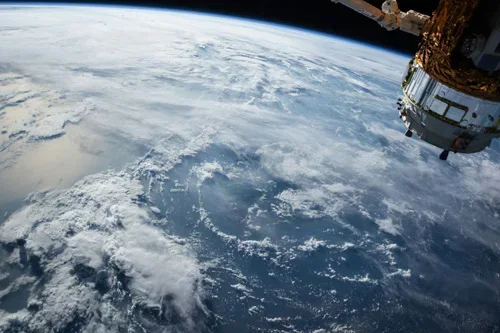
How are vessels tracked using satellite data?
Satellite data has become a critical component of modern maritime monitoring, enabling organizations to track vessel movements across oceans, coastal regions, and inland waterways on a global scale. As international trade, maritime security, fisheries management, and offshore energy operations continue to expand, satellite-based vessel tracking provides valuable situational awareness that supports operational efficiency, safety, and…
-
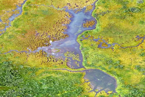
What environmental indicators can be derived from satellite analytics?
Satellite analytics can generate a wide range of environmental indicators that help organizations understand ecosystem conditions, monitor environmental change, assess sustainability performance, and support informed decision-making. By transforming raw Earth observation data into measurable environmental metrics, satellite analytics provides scalable and objective insights across diverse landscapes and environmental systems. Vegetation indicators are among the most…
-
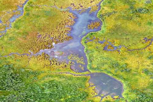
How is disaster impact assessed with Earth observation data?
Earth observation data plays a crucial role in disaster impact assessment by providing rapid, objective, and large-scale information before, during, and after natural or human-induced disasters. Satellite imagery enables emergency responders, governments, humanitarian organizations, insurers, and infrastructure operators to evaluate affected areas, prioritize response efforts, and support recovery planning when timely information is most critical.…
-
Can satellite imagery track pollution and environmental change?
Yes, satellite imagery plays a vital role in tracking pollution and environmental change across terrestrial, freshwater, coastal, marine, and atmospheric environments. Earth observation systems provide large-scale visibility into environmental conditions, enabling organizations to monitor trends, identify emerging issues, and assess the impacts of human activities and natural processes over time. One of the major strengths…
-
How is deforestation monitored using satellite data?
Satellite data has become one of the most effective tools for monitoring deforestation and forest change at local, regional, and global scales. By providing consistent, repeatable, and objective observations of land cover over time, Earth observation technologies enable governments, environmental organizations, researchers, and private-sector stakeholders to identify forest loss, assess ecosystem impacts, and support conservation…
-
How is facility monitoring improved with satellite intelligence?
Satellite intelligence significantly enhances facility monitoring by providing continuous, objective, and scalable visibility into oil and gas infrastructure throughout its operational lifecycle. From upstream production sites and processing facilities to storage terminals, pipelines, and export hubs, Earth observation technologies help organizations improve situational awareness, operational efficiency, asset protection, and risk management. One of the primary…
-

Can satellite imagery detect subsidence or ground movement?
Yes, satellite imagery is one of the most effective technologies available for detecting and monitoring subsidence, ground movement, and surface deformation across large geographic areas. Advances in radar-based Earth observation have made it possible to measure subtle changes in ground elevation with remarkable precision, providing valuable information for oil and gas operators, infrastructure managers, regulators,…
-
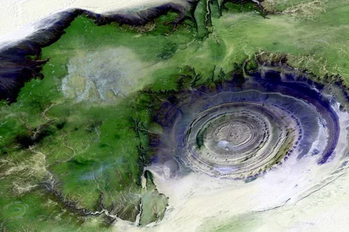
What role does satellite data play in exploration activities?
Satellite data plays a significant role in oil and gas exploration by providing valuable geological, environmental, and geographic information that supports the identification and evaluation of potential resource opportunities. While satellites cannot directly image underground hydrocarbon reservoirs, they can detect surface indicators and regional characteristics that help exploration teams better understand subsurface conditions and prioritize…