
Author: starpathwp-production
-
How Low Can Satellites Fly? New Opportunities in VLEO and the Companies Already Moving In
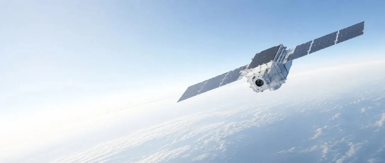
Very low Earth orbit, or VLEO, is not a new type of orbital geometry. It is simply the lower portion of low Earth orbit, where satellites fly closer to Earth and encounter a comparatively denser residual atmosphere. Commercial space companies are paying renewed attention to this regime for a straightforward reason: Earth observation satellites can…
-
Lockheed Martin Ventures Backs Diffraqtion as Quantum Imaging Startup Tops $10 Million
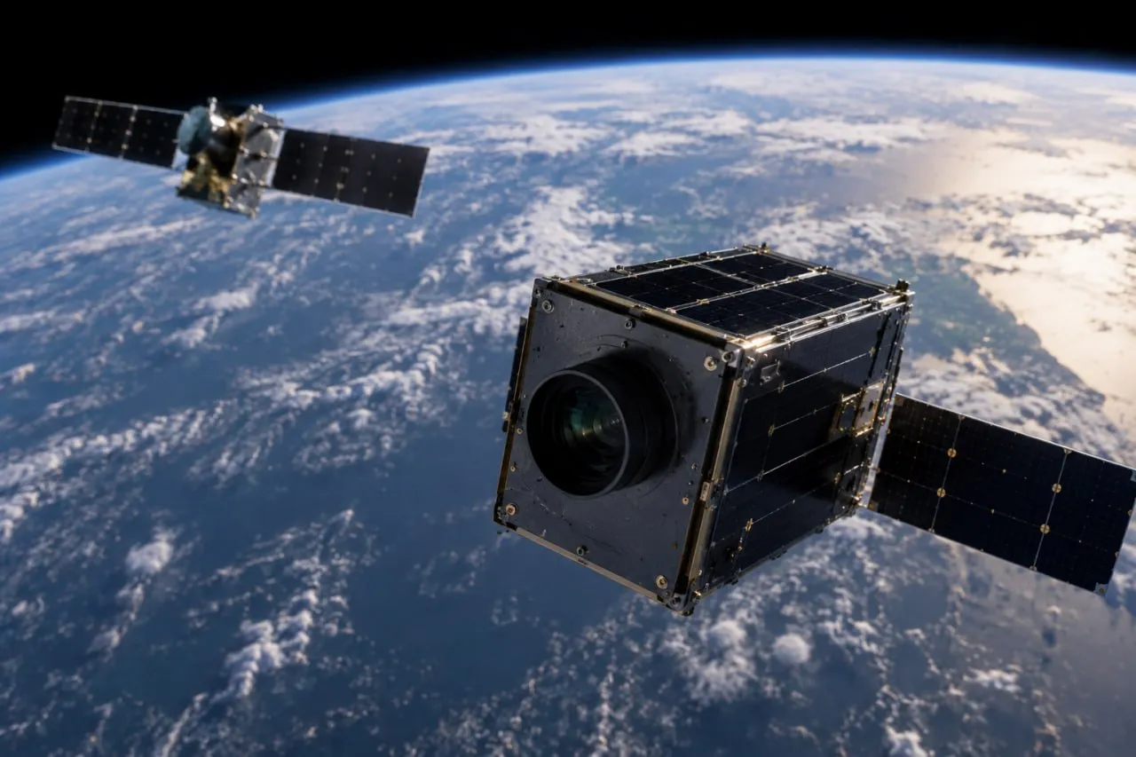
Diffraqtion has secured strategic investments from Lockheed Martin Ventures and Presidio Ventures, the venture arm of Sumitomo Corporation, bringing the quantum imaging startup’s total funding to more than $10 million. Announced on August 31, 2026, the financing will support development of Diffraqtion’s first fielded camera and a planned hosted-payload mission intended to establish flight heritage.…
-
Intuitive Machines Expands Satellite Manufacturing Business with Order for Two IM-300 Spacecraft
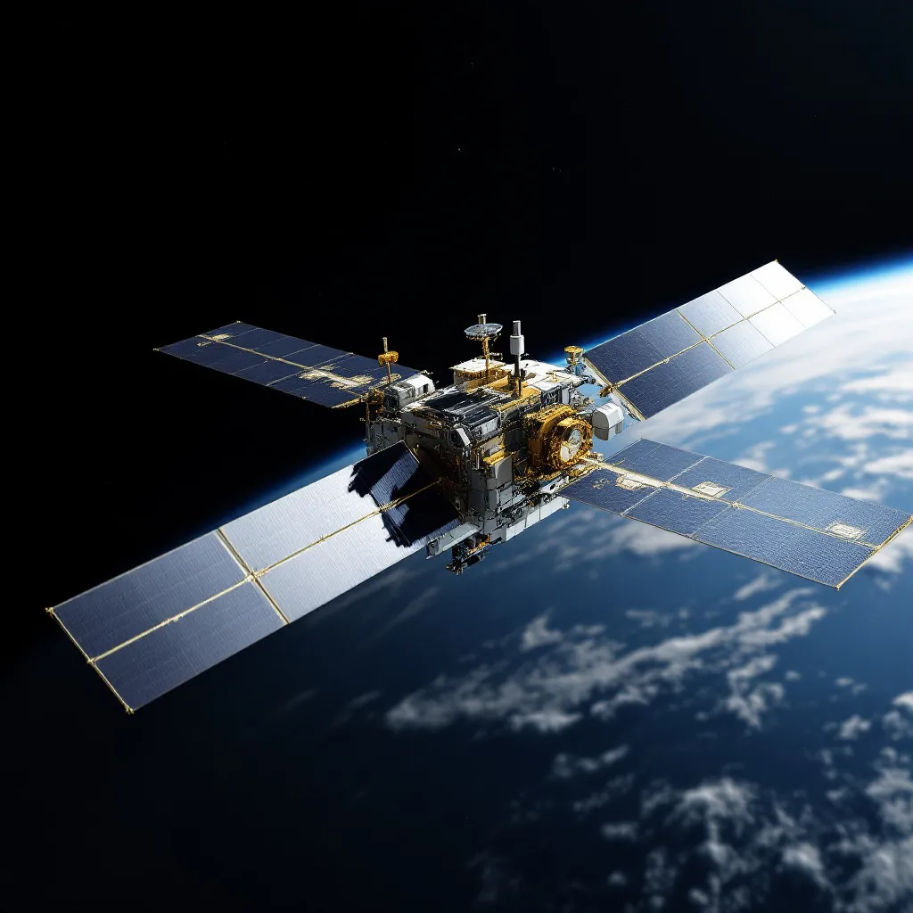
Intuitive Machines has secured a contract to build two IM-300 satellite platforms for an undisclosed customer, marking another step in the company’s effort to expand beyond lunar exploration and establish itself as a broader spacecraft manufacturer and space infrastructure provider. The Houston-based company announced Sept. 1 that the order covers two satellites based on its…
-
OHB Wins $1.16 Billion Contract to Build 18 MEO Satellites for Europe’s IRIS² Network
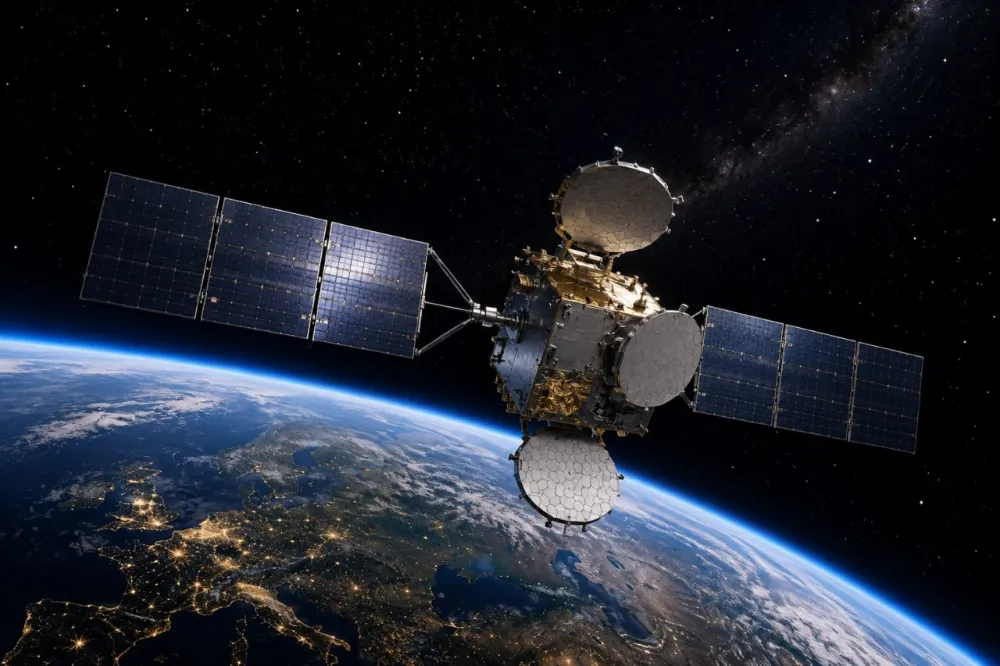
German satellite manufacturer OHB has secured a contract worth nearly €1 billion ($1.16 billion) from SES to develop and manufacture all 18 medium Earth orbit satellite platforms for the European Union’s IRIS² secure connectivity constellation. Announced on August 31, 2026, the award is the first major industrial contract placed since IRIS² entered full-scale implementation on…
-
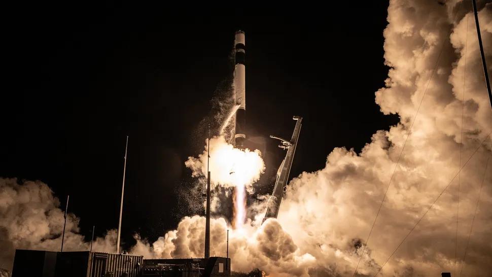
Rocket Lab Targets Sept. 2 Launch for Synspective’s 11th StriX Radar Satellite
Rocket Lab is preparing to launch another synthetic aperture radar satellite for Japanese Earth observation company Synspective, extending one of the small-launch sector’s largest dedicated constellation deployment campaigns. The Electron rocket is scheduled to lift off from Rocket Lab Launch Complex 1 on New Zealand’s Mahia Peninsula during a window opening at 11:00 UTC on…
-

Top ten frontier scientific issues in the field of remote sensing science and technology
In early July, Academician Zhang Bing and his co-authors published an article in the Journal of Remote Sensing, summarizing and discussing 10 frontier scientific questions in remote sensing science and technology. Original article: https://www.ygxb.ac.cn/zh/article/doi/10.11834/jrs.20266221/ Abstract Remote sensing is a fundamental technology for understanding the Earth system. The integration of coordinated satellite-airborne-tower-ground observations with artificial intelligence,…
-
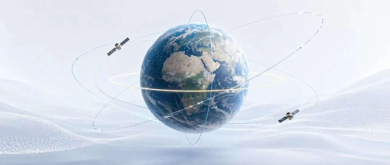
How High and How Inclined Should a Satellite Fly? How Orbital Altitude and Inclination Are Determined
Why do some satellites skim relatively close to Earth and complete an orbit in just over 90 minutes, while others remain above the equator and appear motionless in the sky? And why do some Earth observation satellites designed for near-global coverage deliberately use “retrograde” orbits with inclinations greater than 90 degrees? The answer lies in…
-
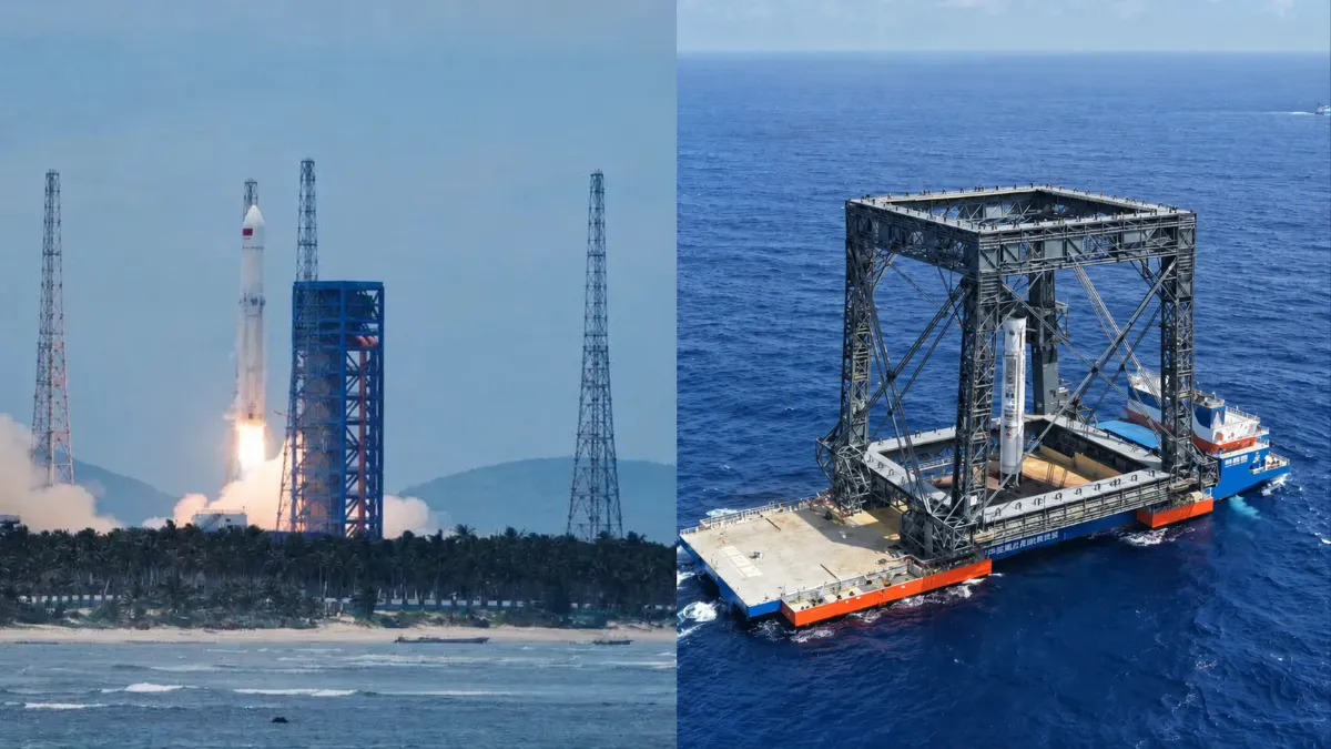
Six Key Metrics for Assessing China’s Reusable Rockets
China’s reusable-rocket race has reached a turning point. With the Long March-10B completing an offshore net-capture recovery and Zhuque-3 Y2 landing its first stage on deployable legs, the country has demonstrated that it can recover intact boosters from orbital-class missions. But landing a rocket is not the same as reusing it—and reuse does not automatically…
-
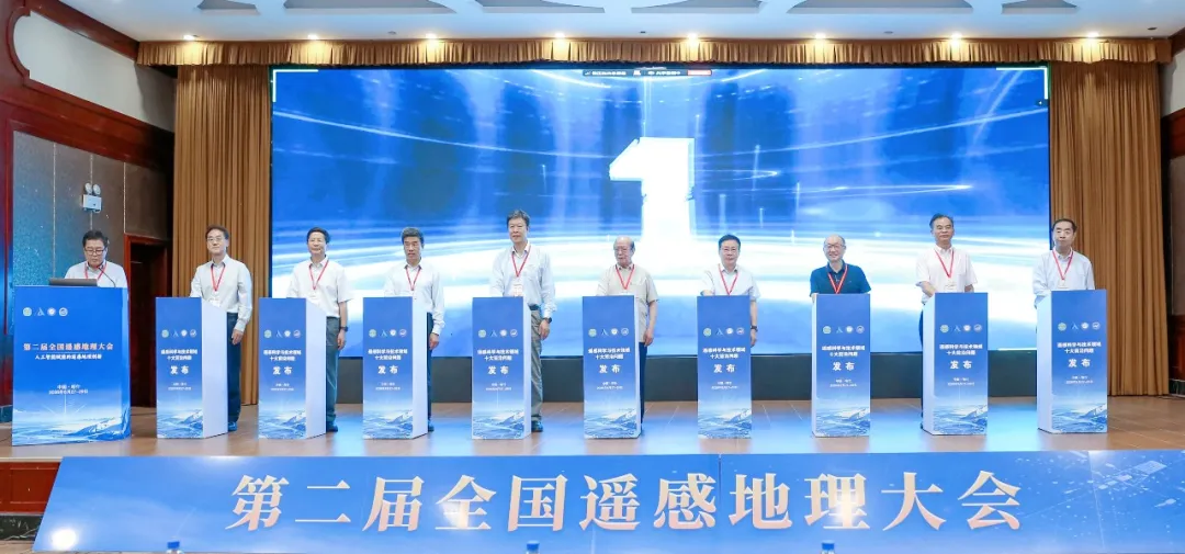
Top 10 Frontier Questions in Remote Sensing Unveiled by Chinese Academy of Sciences Institute
The Aerospace Information Research Institute of the Chinese Academy of Sciences (AIRCAS) announced on August 28 that the Second National Conference on Remote Sensing Geography had opened that day in Kashi, Xinjiang, where the “Top 10 Frontier Questions in Remote Sensing Science and Technology” were officially unveiled. Academicians and experts said remote sensing in China…
-
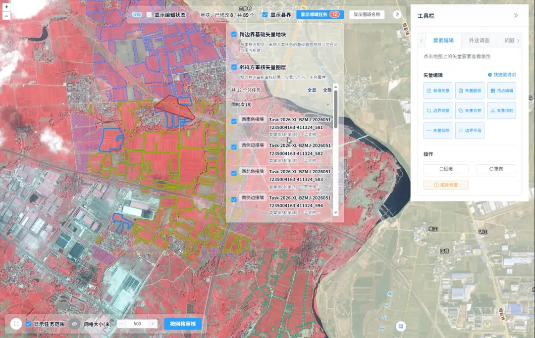
How Is Every Field Accurately Verified? China Uses Remote Sensing for Its Fourth National Agricultural Census
Remote sensing technology has given agricultural censuses “eyes in space,” but satellite imagery alone cannot produce agricultural data with 100% accuracy. Misaligned field boundaries, omitted or duplicated polygons, crop misclassification, and cloud cover obscuring ground conditions are all unavoidable challenges in remote sensing interpretation. These issues emerged during the remote sensing survey verification for China’s…