
Oil & Gas
-
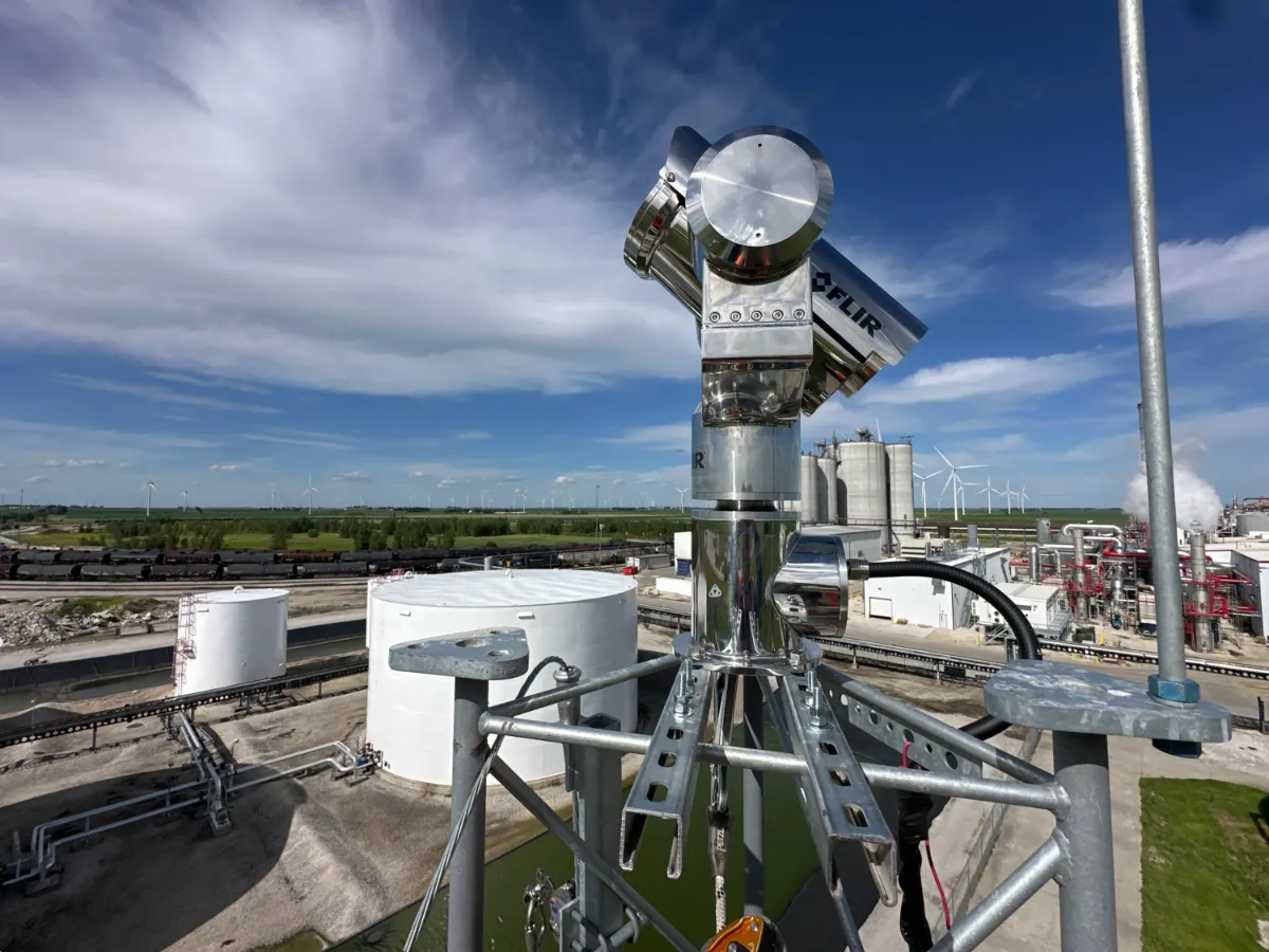
ADIPEC 2026 Highlights Continuous Gas Monitoring: Reducing Gaps in Methane Emissions Detection
Read more →: ADIPEC 2026 Highlights Continuous Gas Monitoring: Reducing Gaps in Methane Emissions DetectionADIPEC 2026 takes place in Abu Dhabi from November 2 to 5. During the exhibition, Teledyne FLIR introduced…
-

AI Software at ADIPEC 2026: Connecting Energy Monitoring Alerts with Operational Decisions
Read more →: AI Software at ADIPEC 2026: Connecting Energy Monitoring Alerts with Operational DecisionsADIPEC 2026 takes place in Abu Dhabi from November 2 to 5. During the exhibition, ABB launched ABB…
-

ADIPEC 2026 Highlights Energy Delivery Resilience: How Satellite Monitoring Supports Pipeline Corridor Risk Management
Read more →: ADIPEC 2026 Highlights Energy Delivery Resilience: How Satellite Monitoring Supports Pipeline Corridor Risk ManagementADIPEC 2026 opened in Abu Dhabi on November 2. In his opening address, Sultan Al Jaber, UAE Minister…
-
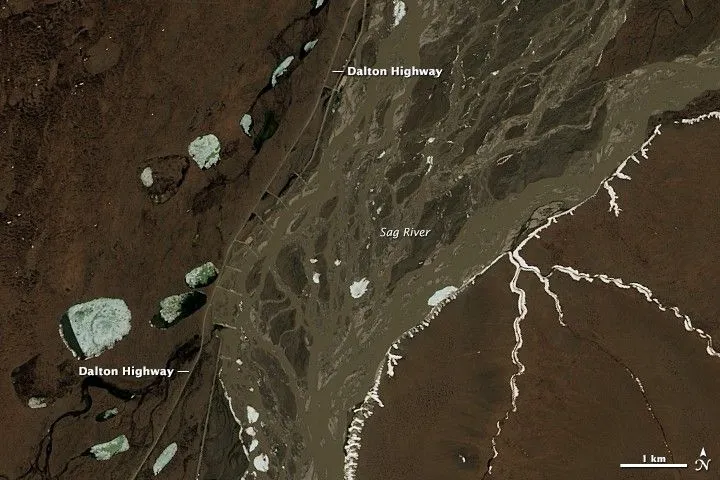
How to Define a Satellite Imagery AOI for Pipeline and Power-Line Corridors
Read more →: How to Define a Satellite Imagery AOI for Pipeline and Power-Line CorridorsA pipeline or power-line network usually starts as a set of centerlines in a GIS. Turning those lines…
-
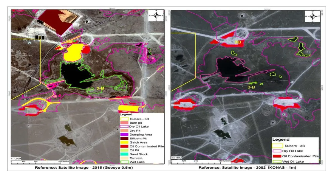
Can Satellite Imagery Detect Oil Spills on Land?
Read more →: Can Satellite Imagery Detect Oil Spills on Land?Satellite imagery can help identify some oil spills on land, particularly where contamination is exposed, sufficiently extensive, and…
-
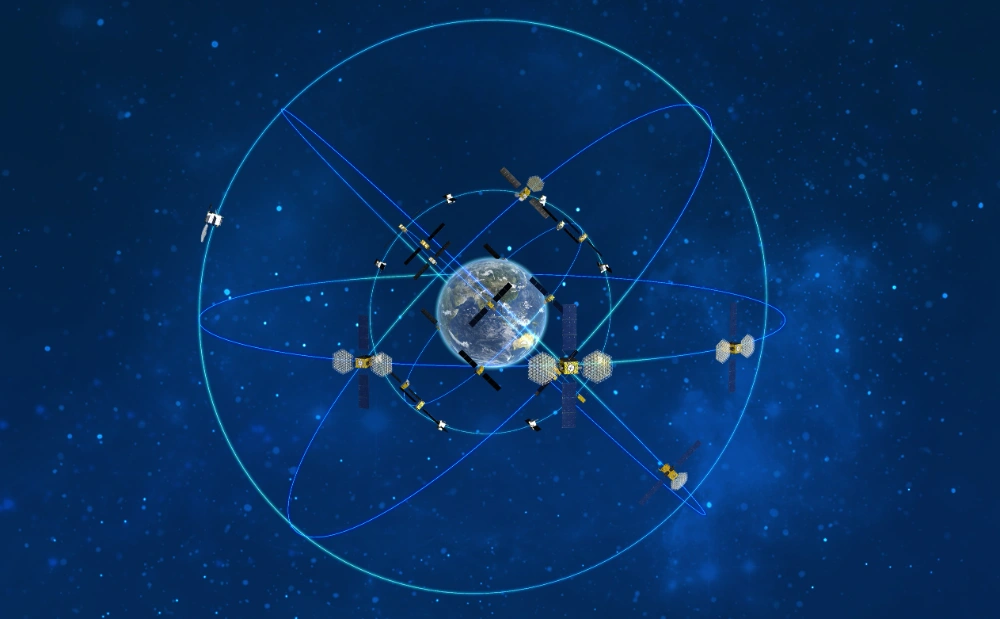
BeiDou Technology Helps Overcome the “Information Islands” Isolating Small Hydropower Plants in Southwestern China
Read more →: BeiDou Technology Helps Overcome the “Information Islands” Isolating Small Hydropower Plants in Southwestern ChinaA research team from China Southern Power Grid’s Guizhou Electric Power Research Institute has integrated BeiDou high-precision positioning…
-
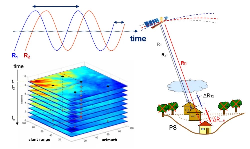
InSAR Monitoring for Infrastructure: Ground Subsidence and Geohazard Assessment
Read more →: InSAR Monitoring for Infrastructure: Ground Subsidence and Geohazard AssessmentAs the old saying goes, it’s better to catch a problem while it’s still small. For infrastructure such…
-
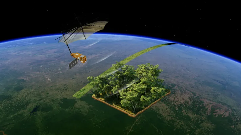
From Carbon Emissions to Carbon Sinks: How Satellites Support Carbon Monitoring
Read more →: From Carbon Emissions to Carbon Sinks: How Satellites Support Carbon MonitoringAs the world continues to pursue net-zero targets, carbon data is becoming an increasingly important foundation for climate…
-
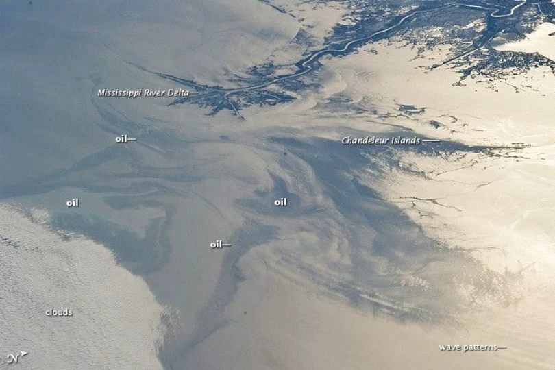
Tracking the Spread of the Oil Slick off Oman: How Satellites Support Maritime Monitoring and Coastal Impact Assessment
Read more →: Tracking the Spread of the Oil Slick off Oman: How Satellites Support Maritime Monitoring and Coastal Impact AssessmentA tanker that has been grounded off the coast of Oman’s Dhofar Governorate since June 2026 drew growing…
-
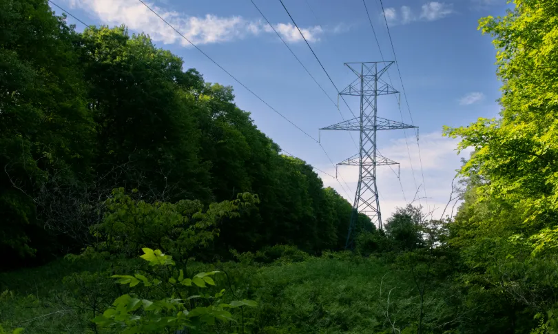
From Post-Disaster Repairs to Early Warning: How to Identify High-Risk Power Line Corridors for Vegetation Management
Read more →: From Post-Disaster Repairs to Early Warning: How to Identify High-Risk Power Line Corridors for Vegetation ManagementIn early August 2026, the Bradley Creek wildfire spread rapidly amid strong winds in British Columbia’s Okanagan region,…