
Tag: Disaster Monitoring
-
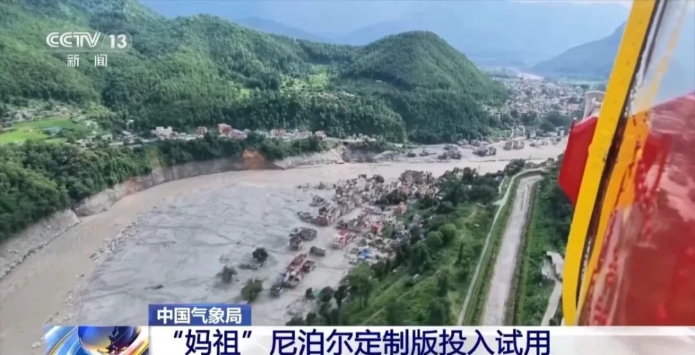
China Uses Fengyun Satellites and MAZU to Support Cross-Border Disaster Monitoring in Nepal
On Aug. 26, a high-altitude ice-and-rock avalanche occurred on the Nepalese side of the border, triggering a chain of cross-border debris flows that caused significant casualties and left people missing at Gyirong Port in China’s Gyirong County. Following the disaster, the China Meteorological Administration activated the Fengyun International User Disaster Prevention and Mitigation Emergency Support…
-
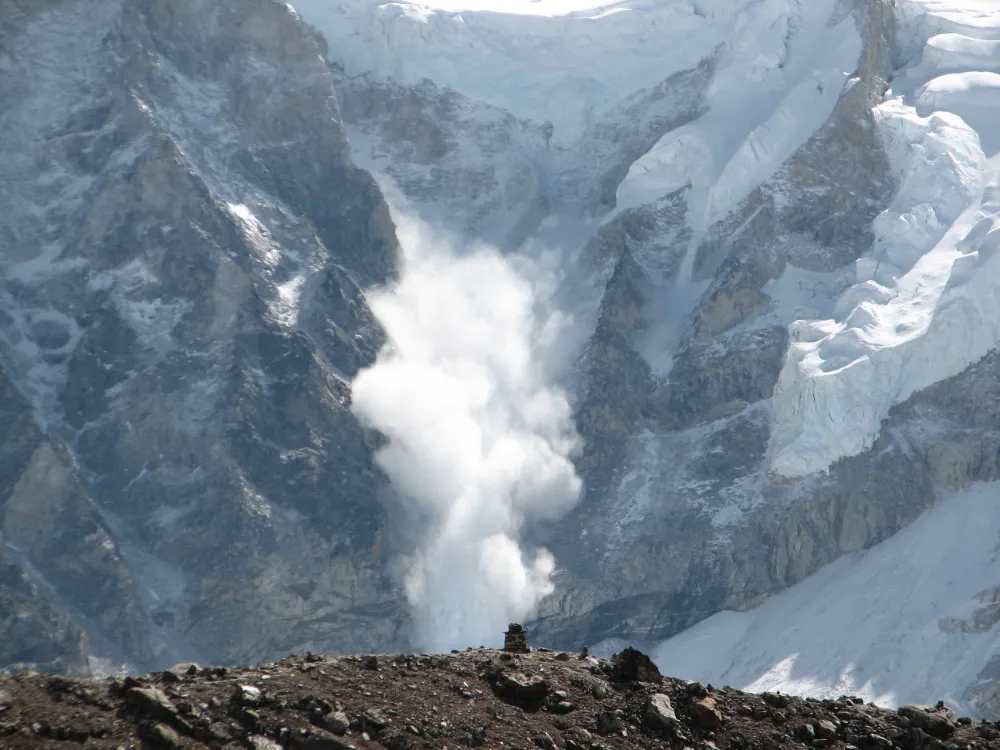
From Detecting Change to Assessing Risk: Satellite Remote Sensing for High-Mountain Hazards
On August 26, 2026, a cascading debris-flow disaster originating on the Nepal side of the China–Nepal border struck Gyirong Port in Xizang, China. Based on pre- and post-event high-resolution satellite imagery, seismic reports, and imagery transmitted from the affected area, an expert working group organized by China’s Ministry of Natural Resources preliminarily assessed that the…
-
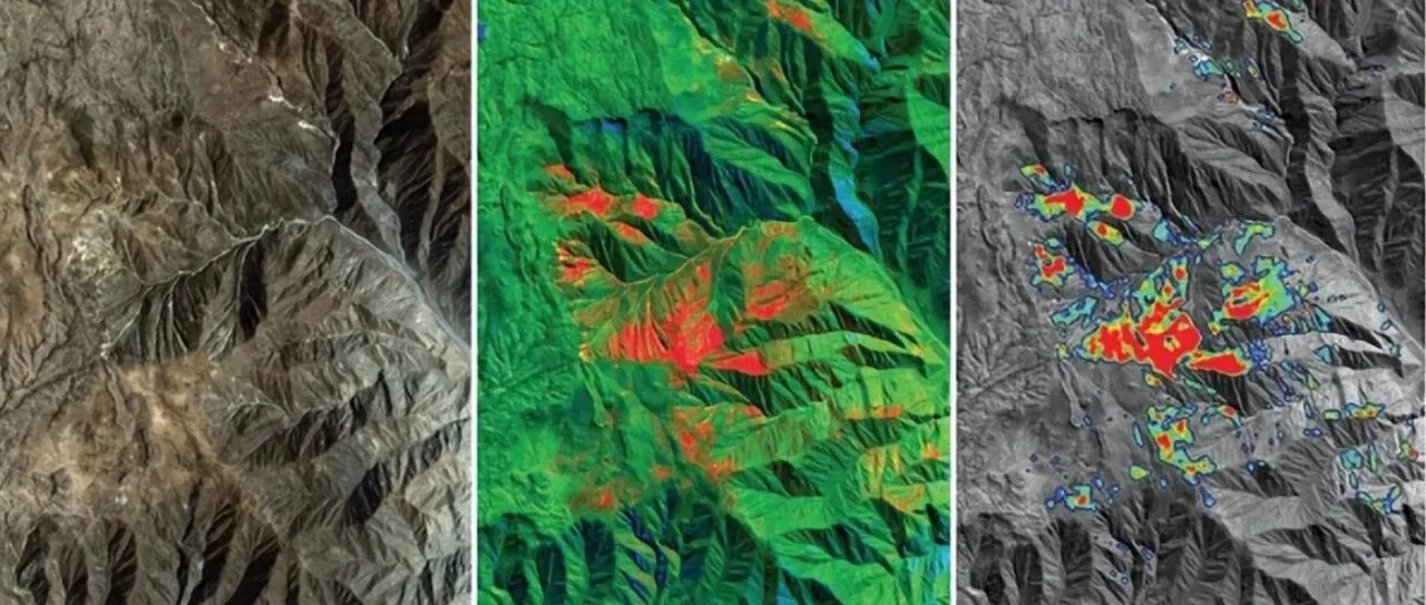
From Mineral Exploration to Disaster Monitoring: What Can Remote Sensing AI Do?
Can remote sensing AI provide professional insights and intelligent decision support for resource exploration, mine development and geological hazard monitoring? “AI cannot be discussed independently of observation,” an industry expert said when discussing intelligent remote sensing interpretation. Remote sensing AI must remain grounded in real-world operations rather than becoming a numbers game focused solely on…
-

Rocket Lab Launches South Korean Disaster-Monitoring Satellite After Delay
Rocket Lab successfully launched a South Korean Earth-observation satellite from New Zealand on Thursday, placing a disaster-monitoring spacecraft into low Earth orbit about six weeks later than originally planned. A 59-foot Electron rocket lifted off from Rocket Lab’s launch site on the Māhia Peninsula at 8:21 p.m. EST (0121 GMT on Friday), carrying the “Bridging…