
Tag: Earth observation
-
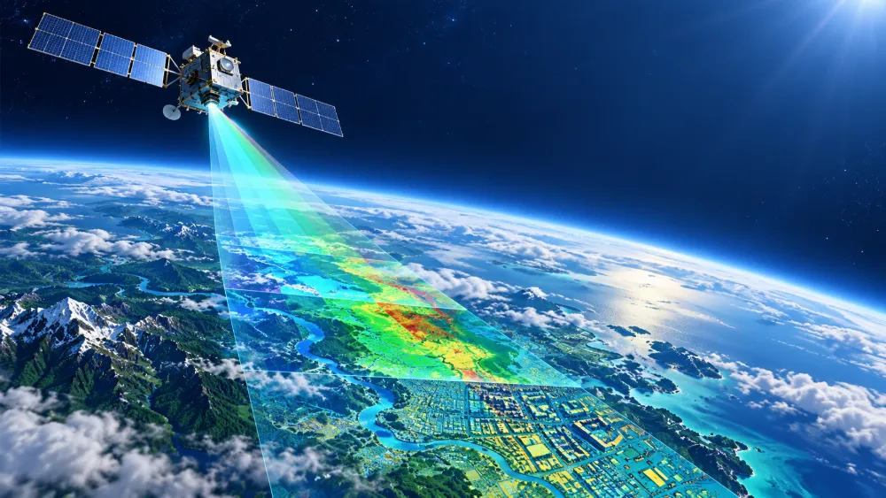
Top ten frontier scientific issues in the field of remote sensing science and technology
In early July, Academician Zhang Bing and his co-authors published an article in the Journal of Remote Sensing, summarizing and discussing 10 frontier scientific questions in remote sensing science and technology. Original article: https://www.ygxb.ac.cn/zh/article/doi/10.11834/jrs.20266221/ Abstract Remote sensing is a fundamental technology for understanding the Earth system. The integration of coordinated satellite-airborne-tower-ground observations with artificial intelligence,…
-
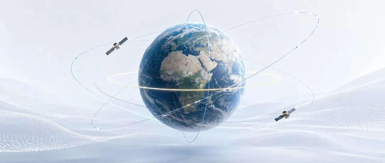
How High and How Inclined Should a Satellite Fly? How Orbital Altitude and Inclination Are Determined
Why do some satellites skim relatively close to Earth and complete an orbit in just over 90 minutes, while others remain above the equator and appear motionless in the sky? And why do some Earth observation satellites designed for near-global coverage deliberately use “retrograde” orbits with inclinations greater than 90 degrees? The answer lies in…
-
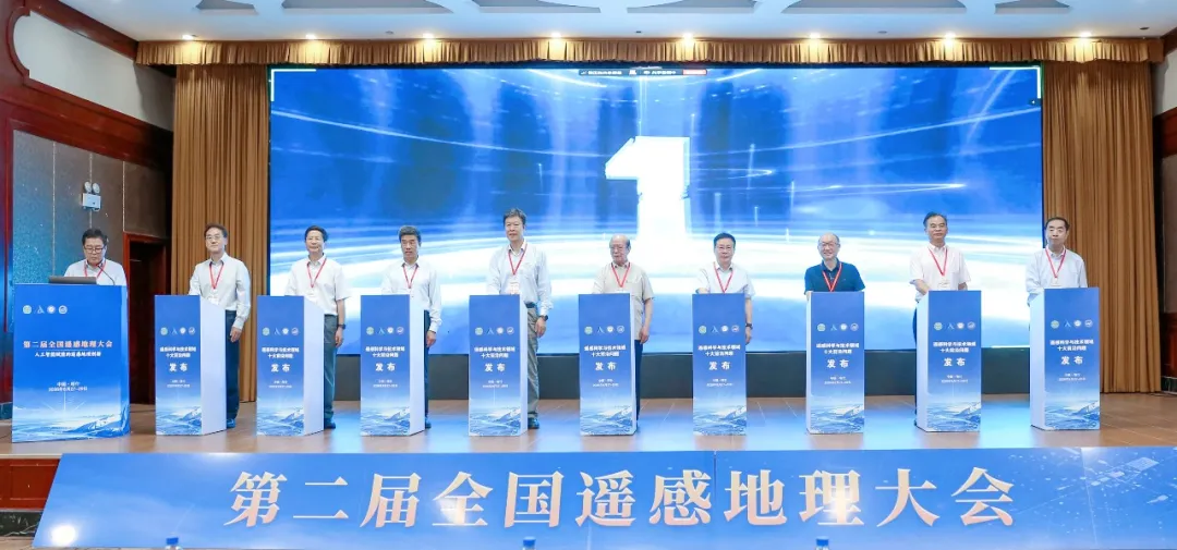
Top 10 Frontier Questions in Remote Sensing Unveiled by Chinese Academy of Sciences Institute
The Aerospace Information Research Institute of the Chinese Academy of Sciences (AIRCAS) announced on August 28 that the Second National Conference on Remote Sensing Geography had opened that day in Kashi, Xinjiang, where the “Top 10 Frontier Questions in Remote Sensing Science and Technology” were officially unveiled. Academicians and experts said remote sensing in China…
-
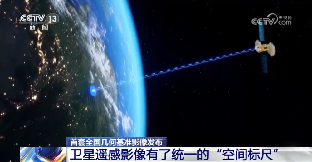
China Releases First Nationwide Geometric Reference Imagery, Creating a Common Spatial Standard for Satellite Data and Cutting Processing Costs
China’s Ministry of Natural Resources has released the country’s first set of geometric reference imagery covering its entire land territory, establishing a common spatial reference for the production and geometric correction of satellite remote-sensing imagery. Announced in late August, the dataset has a spatial resolution better than 0.5 meters and is intended to address a…
-
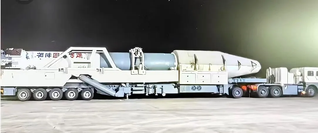
Kuaizhou-11 Y3 Passes Factory Review Ahead of Dual-Satellite Launch
Kuaizhou Aerospace recently announced that the Kuaizhou-11 Y3 carrier rocket has completed all assembly and testing work at its Wuhan base and successfully passed its factory quality review. The rocket will soon be transported to the Jiuquan Satellite Launch Center for a dual-satellite mission carrying Tianyi-51 and Tianyi-52 into orbit. The official launch window has…
-

Closing the Last Mile of Earth Observation: How FDEs Turn Geospatial Intelligence into Business Outcomes
“We want to identify risks earlier.” For a mining company managing multiple tailings facilities, this is a natural business objective: regularly acquire satellite imagery, detect changes in the facilities and their surrounding environments, assess potential risk signals, and issue alerts when anomalies may require further attention. From a technical perspective, this may not seem particularly…
-
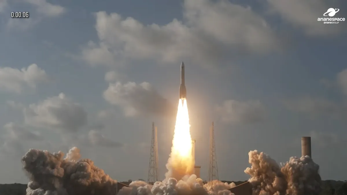
Ariane 6 Delivers MTG-I2 Weather Satellite on First Geostationary Mission, Expanding Europe’s Next-Generation Forecasting Network
Europe’s Ariane 6 launcher successfully placed the Meteosat Third Generation Imager-2 (MTG-I2) weather satellite into its intended transfer orbit on Aug. 27, marking the rocket’s first mission to a geostationary destination and a major milestone for both the Ariane 6 program and Europe’s next-generation meteorological infrastructure. The launch took place from the ELA-4 pad at…
-

Mianyang, Sichuan Uses SAR Satellites to Monitor Ground Deformation and Identify Urban Building Safety Risks
Satellite remote sensing is moving beyond specialized surveying and scientific research into practical applications such as urban governance, agriculture, resource management and infrastructure monitoring. This shift is particularly visible in China. In 2025, China launched more than 120 remote-sensing satellites, while its civilian remote-sensing satellite fleet in orbit exceeded 640, maintaining the country’s position as…
-

New Advances in Satellite Remote Sensing of Aboveground Biomass in Dense Mountain Forests
Dense mountain forests are important carbon reservoirs and biodiversity habitats. However, complex terrain and canopy occlusion make it difficult for conventional optical remote sensing to accurately capture vertical forest structure, creating considerable uncertainty in aboveground biomass estimates under challenging environmental conditions. To address this problem, a team led by researcher Wenjian Ni from the State…
-
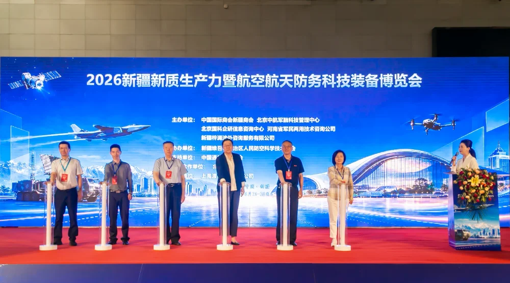
STARPATH GLOBAL Showcases Space and Geospatial Intelligence Capabilities at Xinjiang Aerospace and Defense Technology Expo, Exploring New Opportunities for Global Commercial Space Cooperation
Urumqi, Xinjiang, China — The 2026 Xinjiang New Quality Productive Forces and Aerospace & Defense Technology Equipment Expo was held from August 21 to 23, 2026, at the Xinjiang International Convention and Exhibition Center. Under the theme “Empowering Aerospace with New Quality Productive Forces and Strengthening National Defense through Technological Innovation,” the expo focused on…