
Tag: EVI
-
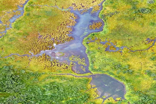
What environmental indicators can be derived from satellite analytics?
Satellite analytics can generate a wide range of environmental indicators that help organizations understand ecosystem conditions, monitor environmental change, assess sustainability performance, and support informed decision-making. By transforming raw Earth observation data into measurable environmental metrics, satellite analytics provides scalable and objective insights across diverse landscapes and environmental systems. Vegetation indicators are among the most…
-

How is deforestation monitored using satellite data?
Satellite data has become one of the most effective tools for monitoring deforestation and forest change at local, regional, and global scales. By providing consistent, repeatable, and objective observations of land cover over time, Earth observation technologies enable governments, environmental organizations, researchers, and private-sector stakeholders to identify forest loss, assess ecosystem impacts, and support conservation…
-
Can satellite imagery help with yield prediction?
Satellite imagery has become an increasingly important component of agricultural yield prediction, enabling organizations to estimate crop production before harvest and gain earlier visibility into potential agricultural outcomes. By combining Earth observation data with agronomic models, weather information, and historical records, analysts can develop more accurate forecasts at field, regional, national, and global scales. Yield…
-

What are indices?
Indices are calculated using the multispectral bands. These calculations result in the outputs being in the form of an index with values between 0-1. At the same time, the indices provide additional information about the ground surface being imaged. There are four EarthCache outputs that are under the indices umbrella: NDVI, MSAVI2, EVI and NDWI2.…