Tag: GIS
-
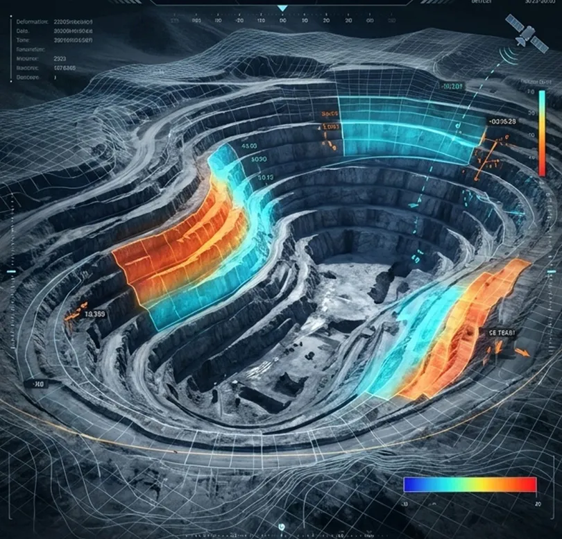
How is satellite data used in mining site monitoring?
Satellite data has become an essential tool for mining site monitoring, providing continuous visibility into mining operations across exploration, development, production, and closure phases. By delivering objective and repeatable observations over large geographic areas, Earth observation technologies enable mining companies, regulators, investors, and environmental organizations to monitor activities efficiently while reducing the need for frequent…
-
In which formats can satellite imagery be delivered?
Satellite imagery can be delivered in a variety of formats designed to support different analytical workflows, software platforms, and enterprise data environments. The choice of format depends on how the imagery will be stored, processed, visualized, or integrated into operational systems. One of the most widely used formats is GeoTIFF. GeoTIFF combines raster imagery with…