
Tag: Optical Imagery
-
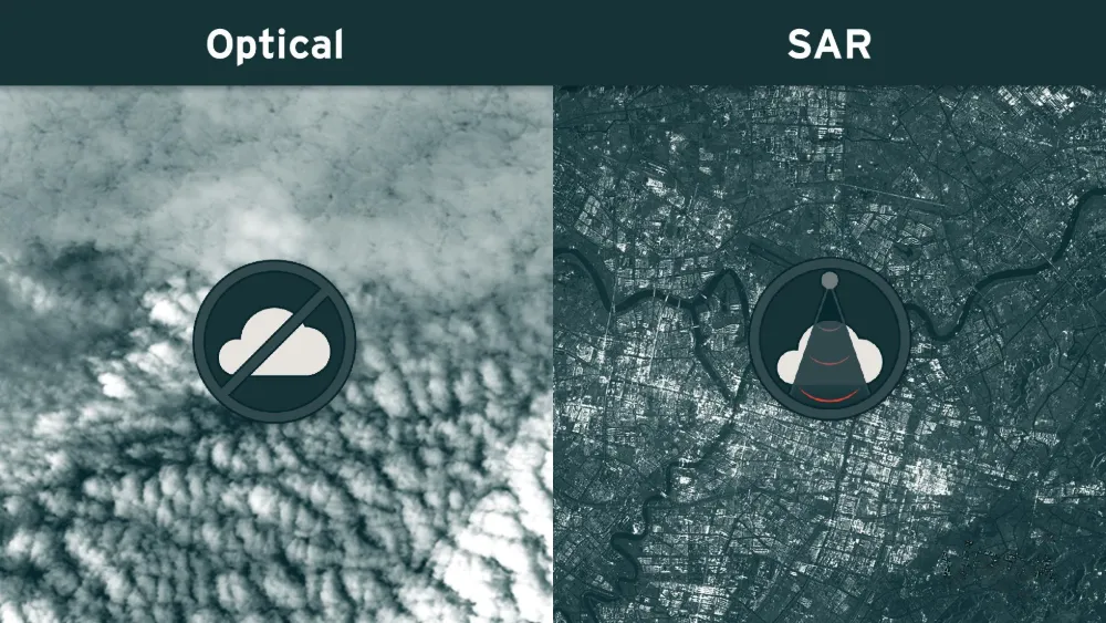
Why Satellite Monitoring Fails Under Cloud Cover — and When SAR Helps
A satellite may pass over a mine, port or infrastructure corridor on schedule and still produce no usable optical view of the site. Clouds can hide the ground, while cloud shadows and haze can make visible areas unsuitable for reliable analysis. Synthetic aperture radar (SAR) can maintain observations through cloud cover and darkness, but it…
-
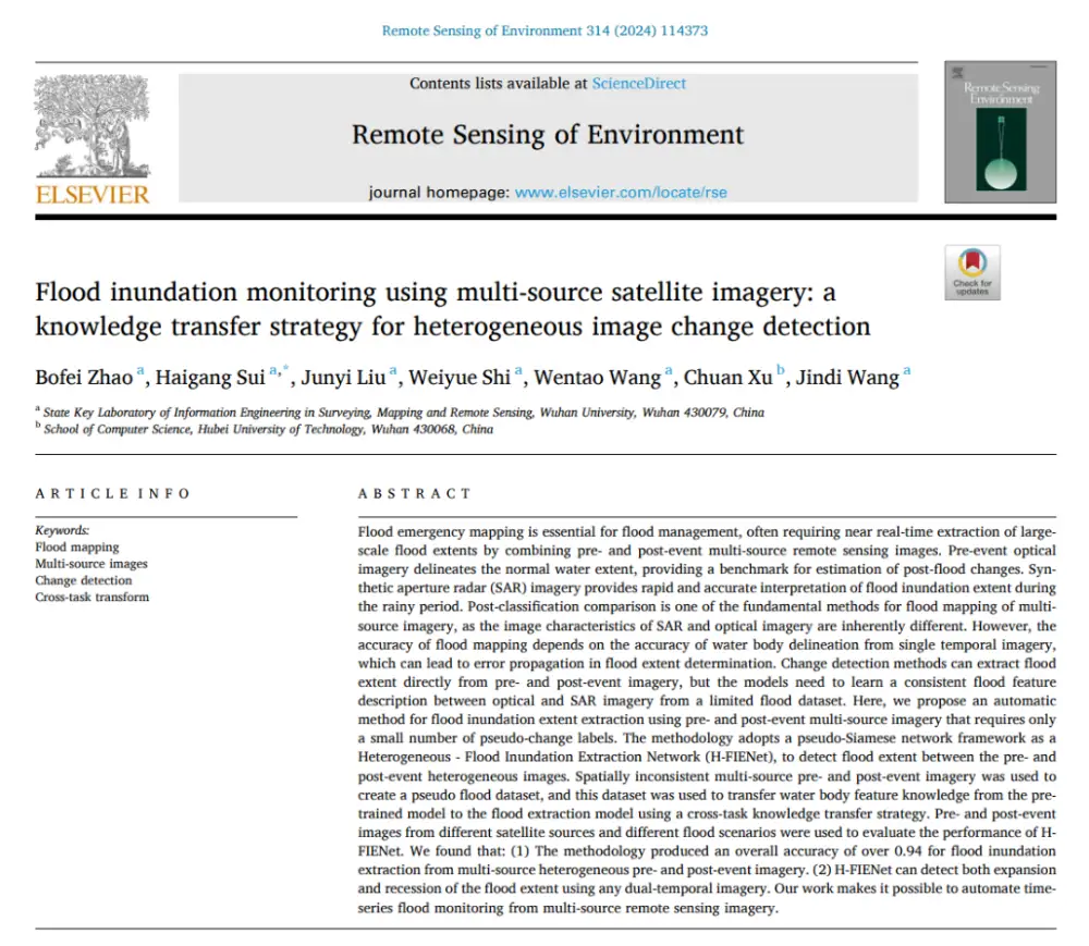
How AI Detects Flood Changes Across Optical and SAR Images With Few Training Pairs
In brief: Instead of separately mapping water in pre- and post-flood images and then overlaying the results, the method first maps water features from optical and SAR imagery into a more consistent semantic space, then directly identifies where water conditions have changed. More importantly, it does not require large numbers of real flood-change labels: it…