
Tag: Pipelines
-
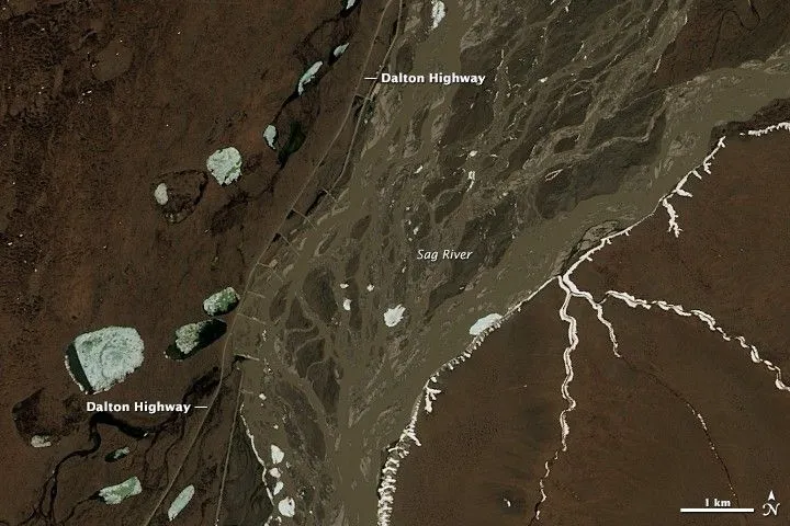
How to Define a Satellite Imagery AOI for Pipeline and Power-Line Corridors
A pipeline or power-line network usually starts as a set of centerlines in a GIS. Turning those lines into a satellite imagery area of interest (AOI) requires decisions about what to monitor, how much surrounding land to include, and which geometry the imagery supplier can accept. A polygon that passes an upload check can still…
-
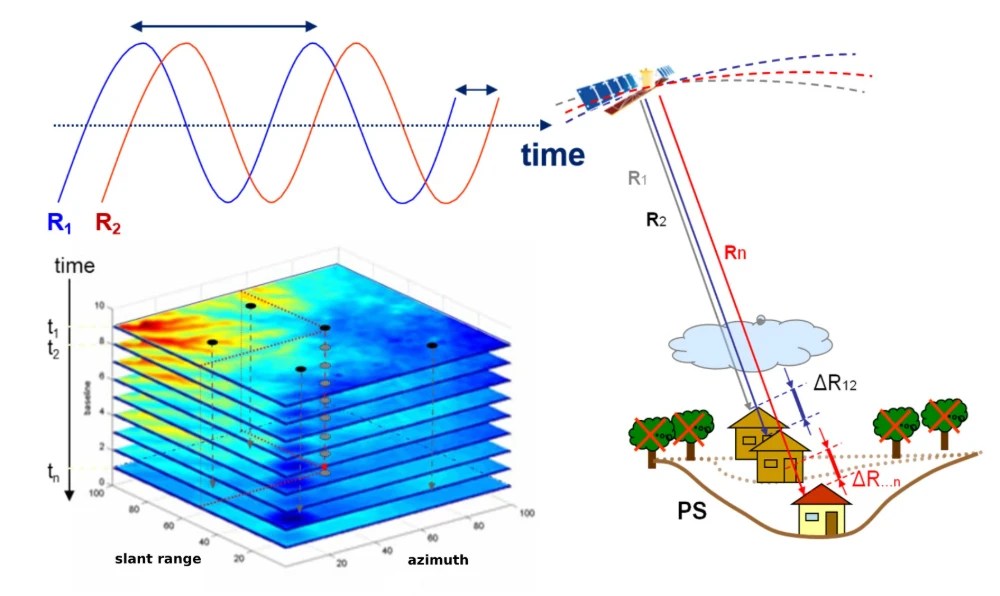
InSAR Monitoring for Infrastructure: Ground Subsidence and Geohazard Assessment
As the old saying goes, it’s better to catch a problem while it’s still small. For infrastructure such as railways, highways, bridges, tunnels, and buildings, many risks do not emerge suddenly. Slopes may deform slowly over months or longer. Railway or road foundations may continue to settle. Unusual ground movement may occur around bridges and…