
Tag: Risk
-
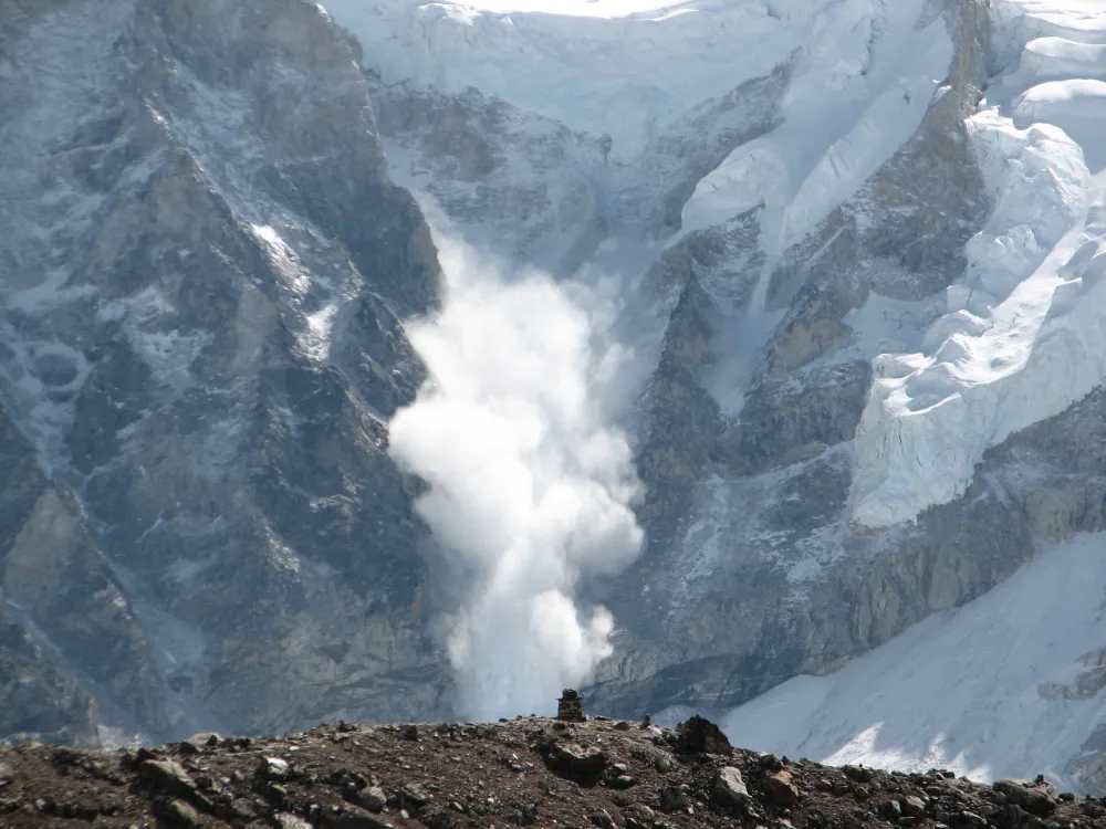
From Detecting Change to Assessing Risk: Satellite Remote Sensing for High-Mountain Hazards
On August 26, 2026, a cascading debris-flow disaster originating on the Nepal side of the China–Nepal border struck Gyirong Port in Xizang, China. Based on pre- and post-event high-resolution satellite imagery, seismic reports, and imagery transmitted from the affected area, an expert working group organized by China’s Ministry of Natural Resources preliminarily assessed that the…