
Tag: satellite data
-
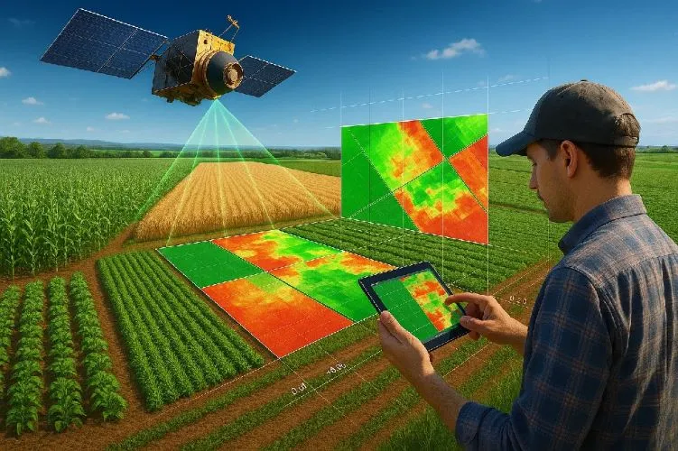
How does satellite data support precision agriculture?
Precision agriculture is an approach to farm management that seeks to optimize agricultural inputs, improve productivity, and enhance sustainability by accounting for variability within fields and across agricultural landscapes. Satellite data plays a central role in this process by providing timely, objective, and scalable information about crop conditions, soil characteristics, and environmental factors. Traditional farming…
-
How long does it take to deliver custom satellite data?
The delivery timeline for custom satellite data is determined by a combination of orbital scheduling constraints, sensor availability, environmental conditions, and post-processing requirements. Unlike static datasets, satellite tasking is dependent on real-time acquisition opportunities, making timing highly variable across different missions and use cases. The first factor influencing delivery time is satellite revisit cycle. Each…
-
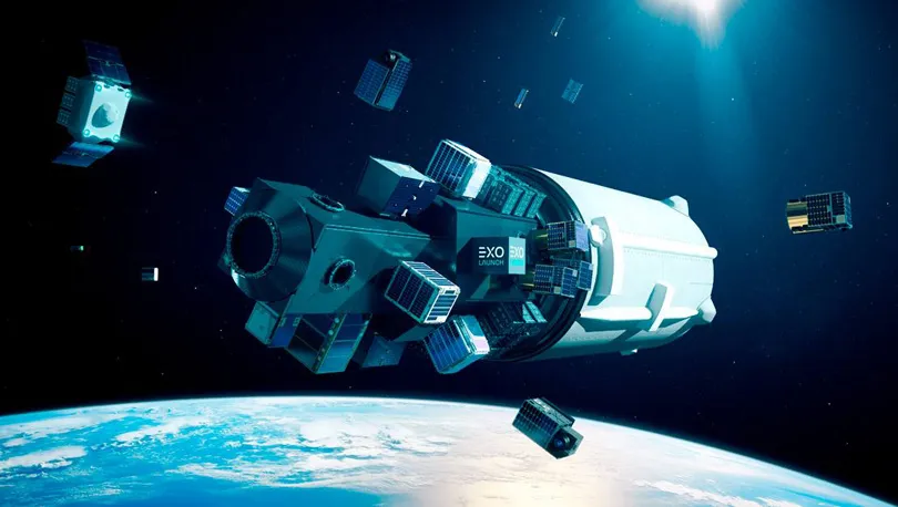
What types of satellite data can be customized for specific projects?
Custom satellite data encompasses a wide range of Earth observation products designed to meet diverse analytical and operational requirements. The flexibility of modern satellite systems allows users to tailor both raw and processed datasets across multiple dimensions, including spectral, spatial, temporal, and analytical characteristics. The most commonly used dataset type is high-resolution optical imagery. This…
-
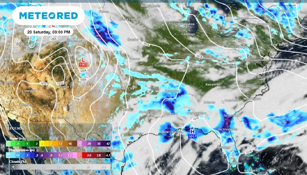
From Extreme Weather to Actionable Intelligence: How Satellite Data Is Powering Climate Risk Applications
Extreme weather events are increasingly recognized as material drivers of operational and financial risk across multiple industries. Rather than isolated disruptions, hazards such as floods, heatwaves, droughts, and infrastructure stress events can interact with cascading or compound effects in certain regions and contexts. Extreme Weather as an Emerging Systemic Risk Climate-related hazards are increasingly studied…
-
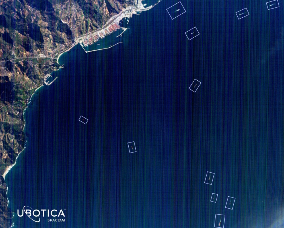
Ubotica Technologies Raises $11 Million to Expand AI-Powered Maritime Intelligence Platform
Ubotica Technologies has raised $11 million in new funding to accelerate the commercialization of its artificial intelligence platform for maritime intelligence and security applications. The Dublin-based space technology company said the funding round was co-led by Act Venture Capital and Greencode Ventures, with participation from Atlantic Bridge, an existing investor. The latest investment will support…
-
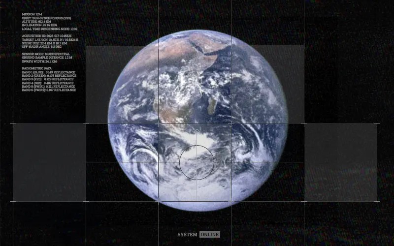
CNES, Île-de-France Launch €1 Million AI Challenge for Satellite Data Analysis
The Centre National d’Études Spatiales (CNES) and the Île-de-France region have launched a €1 million ($1.1 million) challenge aimed at accelerating the use of artificial intelligence to analyse satellite data, as part of France’s broader push to strengthen its space and AI capabilities. The initiative, known as the AI for Space Challenge, was first announced…
-
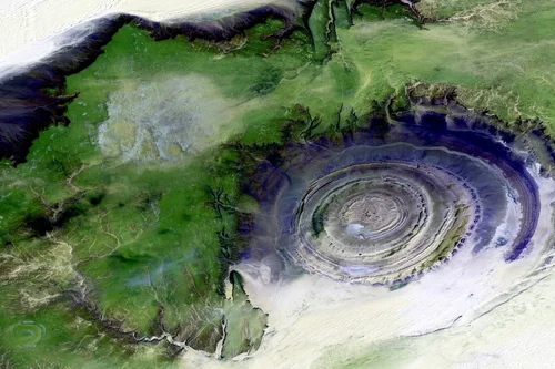
What Is Latency?
For satellite data, latency refers to the time between satellite observation and the time data is available to users. Earth science data providers use different terminology to describe data latency. Near-real-time (NRT), low latency, and expedited are often used interchangeably to refer to data made available more quickly than routine processing allows.
-
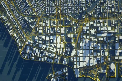
How Do You Get Data From Satellites To Earth?
Connecting to a Ground Station A ground station is a physical location with an antenna that allows a satellite operator to downlink the imagery from their satellite after it’s been collected. When launching, most companies don’t build their own ground stations. Instead, they look for partners who already have large networks of ground stations. These…
-
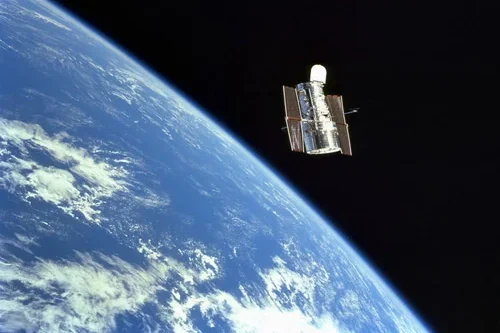
What resolution do I need when using satellite data?
Trick question: it depends on what you are trying to do. What does resolution mean? The resolution of Earth observation data is determined by three factors: spatial resolution, spectral resolution, and temporal resolution. While all three have to be considered when looking at satellite data, most people mean “spatial resolution” when they ask about resolution.…
-
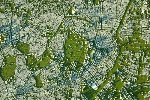
Estimating soil moisture from satellite data
Soil moisture estimates can help farmers assess plant health, aid in predicting crop yields, let governments can help alleviate and protect against floodings, measure urban water use for city planners, and more. While ground sensors are the most accurate tools for tracking water, they are costly and difficult to move quickly. Using satellite sources provides…