
Tag: Sentinel 2
-
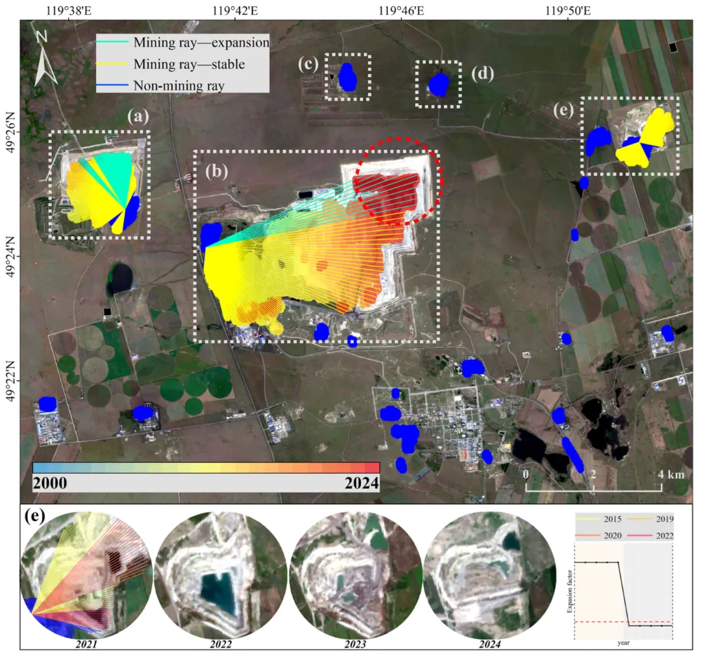
How to Monitor Mining Expansion Using Multi-Temporal Satellite Imagery
Multi-temporal satellite imagery can reveal where a mine’s surface footprint is expanding, which facilities are changing, and how surrounding land is being affected. Reliable monitoring, however, requires more than placing two images side by side. The images must be comparable, the changes must be linked to specific mine features, and the findings must be checked…
-
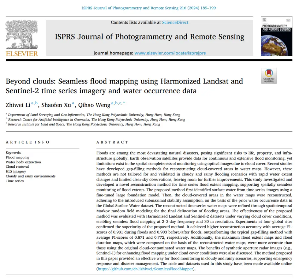
Can Optical Satellites Keep Tracking Floods When Clouds Block the View?
In brief: Landsat and Sentinel-2 can capture flood details well, but they are most vulnerable to the very condition that often accompanies major flooding: cloud cover. Rather than trying to generate a visually plausible cloud-free optical image, this study directly reconstructs whether the surface beneath the clouds is water or non-water. The researchers combined Harmonized…
-
ESA completes swan song of its Vega rocket with Sentinel-2C launch
Sentinel-2 in the Vega launch tower. Image: ESA-CNES-ARIANESPACE/Optique vidéo du CSG–T. Leduc Update 10:52 p.m. EDT: Arianespace confirmed successful deployment of the Sentinel-2C spacecraft. The European Space Agency (ESA) completed its transition to its Vega-C rocket with the final launch of its first-generation Vega rocket. The mission, dubbed VV24, carried an Earth-imaging satellite to a…
-
Google Cloud offers a quadrillion bytes of Landsat and Sentinel-2 satellite views
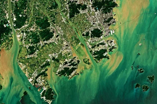
An image from the Sentinel-2 satellite shows the Australian city of Brisbane and its surroundings. (Credit: ESA / Google) How do you channel a flood of almost 5 million images into useful applications? Google Cloud is doing it with more than 30 years’ worth of satellite imagery from the Landsat and Sentinel-2 missions, for free. Satellite views…