
Tag: subsidence
-
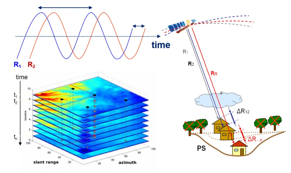
InSAR Monitoring for Infrastructure: Ground Subsidence and Geohazard Assessment
As the old saying goes, it’s better to catch a problem while it’s still small. For infrastructure such as railways, highways, bridges, tunnels, and buildings, many risks do not emerge suddenly. Slopes may deform slowly over months or longer. Railway or road foundations may continue to settle. Unusual ground movement may occur around bridges and…
-

Can satellite imagery detect subsidence or ground movement?
Yes, satellite imagery is one of the most effective technologies available for detecting and monitoring subsidence, ground movement, and surface deformation across large geographic areas. Advances in radar-based Earth observation have made it possible to measure subtle changes in ground elevation with remarkable precision, providing valuable information for oil and gas operators, infrastructure managers, regulators,…