
Tag: VHR
-
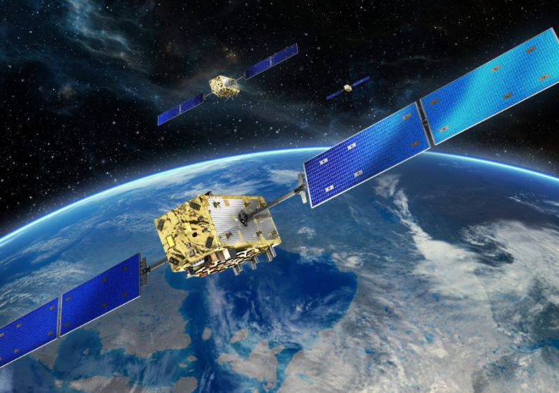
What resolution options are available for satellite imagery?
Satellite imagery is available in a wide range of spatial resolutions, allowing organizations to select data products that best match their operational, analytical, and budgetary requirements. Spatial resolution refers to the size of the ground area represented by a single pixel in an image. In general, higher-resolution imagery provides more detail but may involve larger…
-
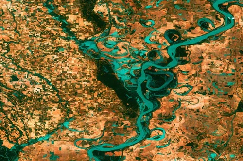
What Is Very High Resolution?
Very high resolution (VHR) refers to the spatial resolution size of a satellite image. In simple terms, the resolution type will determine the clarity of your optical image. The smaller the pixel size, the more “clear” your image will look. Very high resolution is one of the smallest sizes per pixel offered by a satellite…