
Author: starpathwp-production
-
Can satellite imagery help with yield prediction?
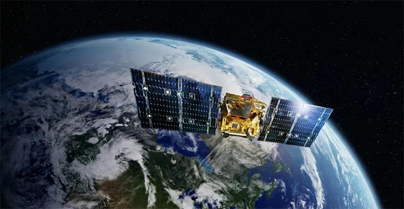
Satellite imagery has become an increasingly important component of agricultural yield prediction, enabling organizations to estimate crop production before harvest and gain earlier visibility into potential agricultural outcomes. By combining Earth observation data with agronomic models, weather information, and historical records, analysts can develop more accurate forecasts at field, regional, national, and global scales. Yield…
-
What indicators are used for vegetation and crop health analysis?
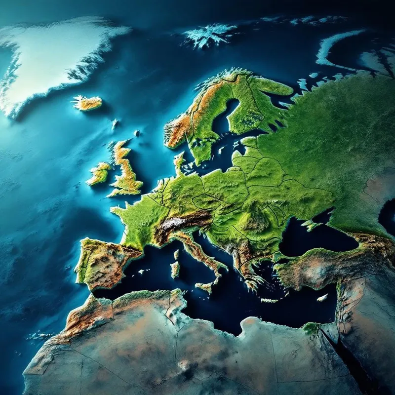
Vegetation and crop health analysis relies on a variety of indicators derived from satellite observations to assess plant vigor, productivity, stress levels, and overall agricultural performance. These indicators are typically generated using multispectral or hyperspectral imagery, which captures information across different wavelengths of light beyond what is visible to the human eye. One of the…
-
How can satellite data be used for crop monitoring?
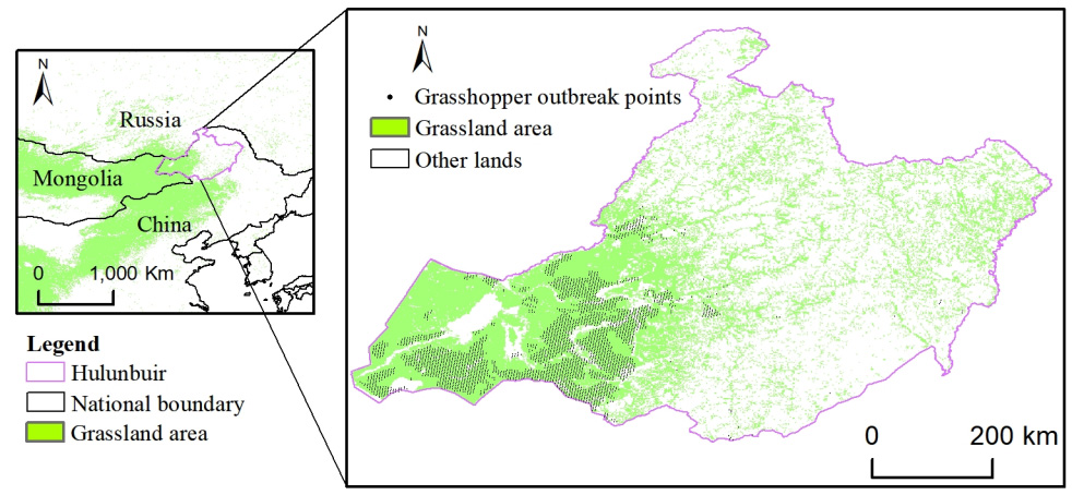
Satellite data has become one of the most valuable tools for modern crop monitoring, providing consistent, large-scale visibility into agricultural conditions throughout the growing season. By capturing observations of farmland from space, Earth observation systems enable farmers, agribusinesses, governments, and agricultural researchers to assess crop performance, identify emerging risks, and make more informed management decisions.…
-

How can organizations access satellite infrastructure without full ownership?
Organizations increasingly seek access to satellite capabilities without assuming the costs, risks, and operational responsibilities associated with full ownership. Advances in the commercial space sector have created multiple pathways for accessing satellite infrastructure through service-based, partnership-based, and financing-driven models. One of the most common approaches is Satellite-as-a-Service. Under this model, organizations access satellite-derived data, imagery,…
-
Is flexible payment available for geospatial data services?
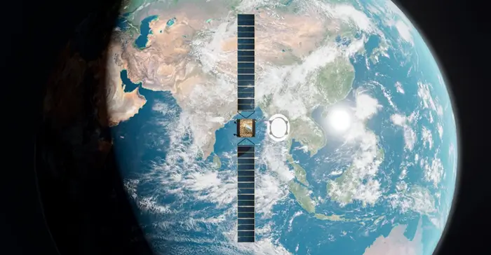
Flexible payment structures have become increasingly common across the geospatial and Earth observation industry as organizations seek solutions that align with operational needs, project timelines, and budget cycles. Rather than relying solely on traditional upfront purchases, many service providers now offer a range of commercial models designed to improve accessibility and financial predictability. The availability…
-
Rocket Lab to Acquire Iridium in an $8 Billion Cash and Stock Transaction
Under the terms of the transaction, Iridium stockholders will receive $27.00 in cash and a number of shares of Rocket Lab common stock calculated pursuant to an exchange ratio (subject to a collar) for each share of Iridium common stock outstanding at the closing. The collar is banded from $67.50 to $112.50. The transaction has…
-

What are satellite asset leasing or financing options?
Satellite asset leasing and financing solutions are designed to help organizations access space-based capabilities without bearing the full financial burden of satellite ownership. These models provide an alternative to traditional capital-intensive investments and allow public and private sector entities to deploy satellite-enabled services with greater financial flexibility. Building, launching, and operating satellites typically requires substantial…
-
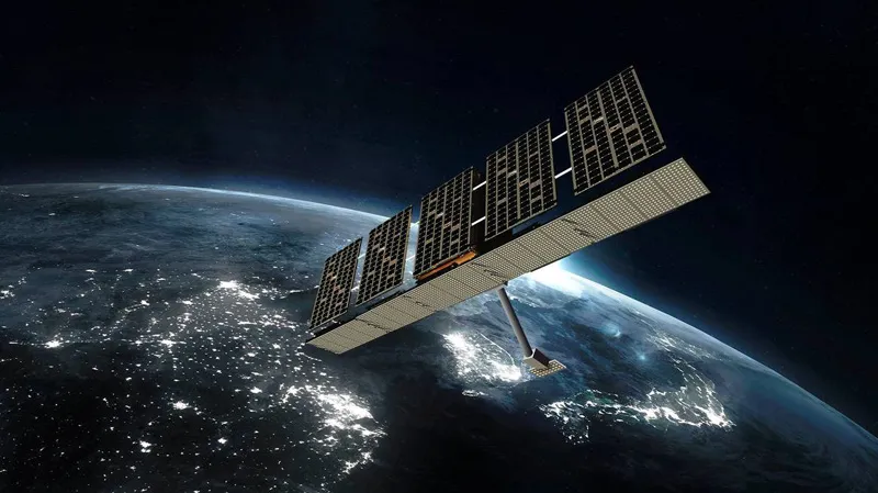
How do satellite data pricing and cost models work?
Satellite data pricing is influenced by a combination of technical, operational, and commercial factors. Unlike standardized digital products, Earth observation data can vary significantly in acquisition complexity, geographic scope, update frequency, and analytical value. As a result, pricing models are often designed to accommodate different use cases, ranging from one-time imagery purchases to long-term enterprise…
-
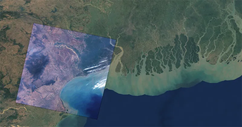
In which formats can satellite imagery be delivered?
Satellite imagery can be delivered in a variety of formats designed to support different analytical workflows, software platforms, and enterprise data environments. The choice of format depends on how the imagery will be stored, processed, visualized, or integrated into operational systems. One of the most widely used formats is GeoTIFF. GeoTIFF combines raster imagery with…
-
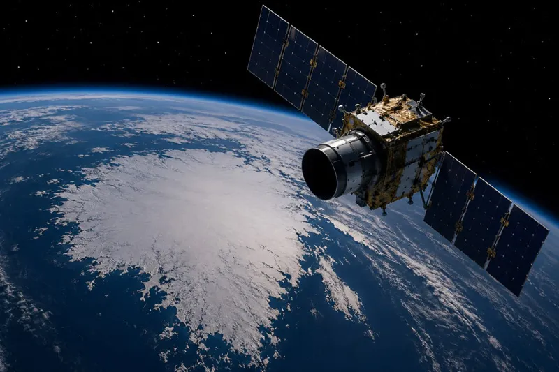
How often is satellite imagery updated or revisited?
The frequency with which satellite imagery is updated depends on several factors, including satellite orbit design, constellation size, geographic location, sensor type, and imaging priorities. This frequency is commonly referred to as revisit rate or revisit cycle and represents how often a satellite can observe the same location on Earth. Historically, individual satellites could revisit…