
Maritime
-
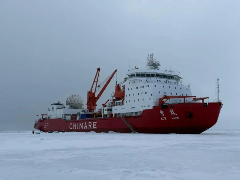
‘Xuelong’ Receives and Processes HY-1E Data in Arctic, Expanding Real-Time Satellite Support for Polar Navigation
Read more →: ‘Xuelong’ Receives and Processes HY-1E Data in Arctic, Expanding Real-Time Satellite Support for Polar NavigationChina’s icebreaker Xuelong successfully received and processed data from the HY-1E ocean-color satellite while sailing at high speed…
-
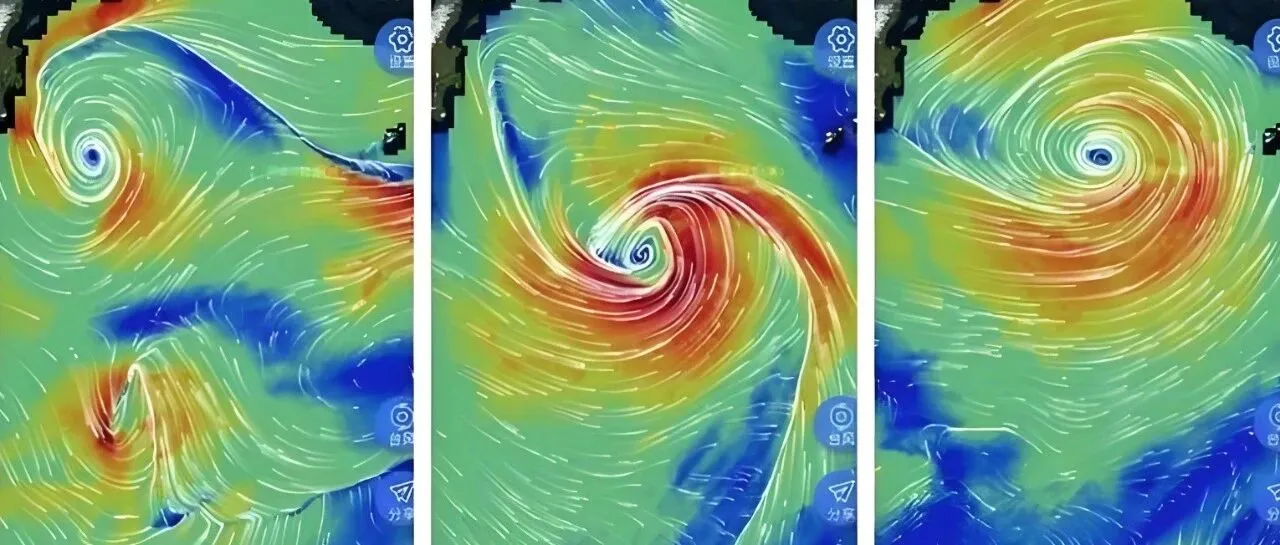
AI + Ocean Satellite Remote Sensing: A New Possibility for Marine Environmental Services
Read more →: AI + Ocean Satellite Remote Sensing: A New Possibility for Marine Environmental ServicesMarine environmental information is fundamental to major national projects and offshore activities, while satellite remote sensing is one…
-
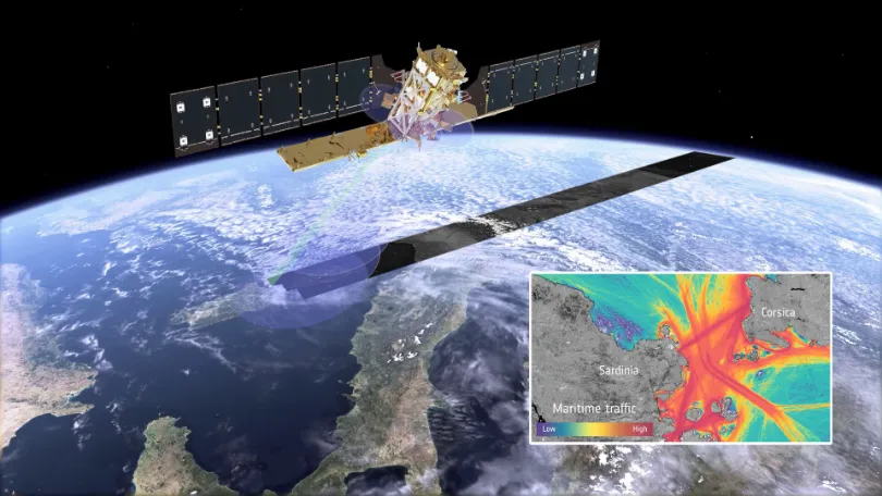
When Vessels “Disappear” from the Map: How Multi-Source Satellite Data Can Help Detect Maritime Smuggling
Read more →: When Vessels “Disappear” from the Map: How Multi-Source Satellite Data Can Help Detect Maritime SmugglingIn May 2026, conventional vessel-tracking maps showed major information gaps around the Strait of Hormuz. The gaps did…
-
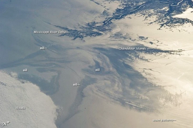
Tracking the Spread of the Oil Slick off Oman: How Satellites Support Maritime Monitoring and Coastal Impact Assessment
Read more →: Tracking the Spread of the Oil Slick off Oman: How Satellites Support Maritime Monitoring and Coastal Impact AssessmentA tanker that has been grounded off the coast of Oman’s Dhofar Governorate since June 2026 drew growing…