
Tag: Agriculture
-
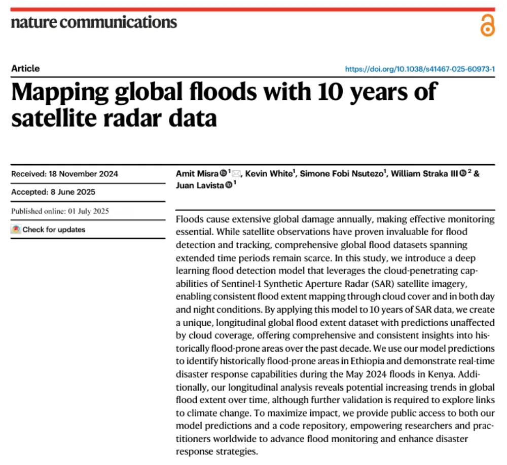
A Decade of Sentinel-1 Scanning the Globe: How Much Flooding Have We Been Missing?
Key takeaway: Several global flood datasets already exist, but their long-term records rely primarily on optical remote sensing from satellites such as MODIS and Landsat. Yet the most severe floods often occur under thick cloud cover. The real question this study seeks to answer is not “How can we detect floods one more time?” but…
-
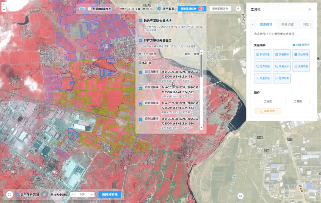
How Is Every Field Accurately Verified? China Uses Remote Sensing for Its Fourth National Agricultural Census
Remote sensing technology has given agricultural censuses “eyes in space,” but satellite imagery alone cannot produce agricultural data with 100% accuracy. Misaligned field boundaries, omitted or duplicated polygons, crop misclassification, and cloud cover obscuring ground conditions are all unavoidable challenges in remote sensing interpretation. These issues emerged during the remote sensing survey verification for China’s…
-
Rwanda and Planet Labs Launch National Satellite Data Program for Government, Universities and Startups
The Government of Rwanda has partnered with Planet Labs to establish a national satellite data program that will provide near-daily Earth observation imagery to government agencies, public universities, selected startups and strategic development partners. Managed by the Rwanda Space Agency, the program is designed to make satellite imagery a more routine component of national decision-making,…
-
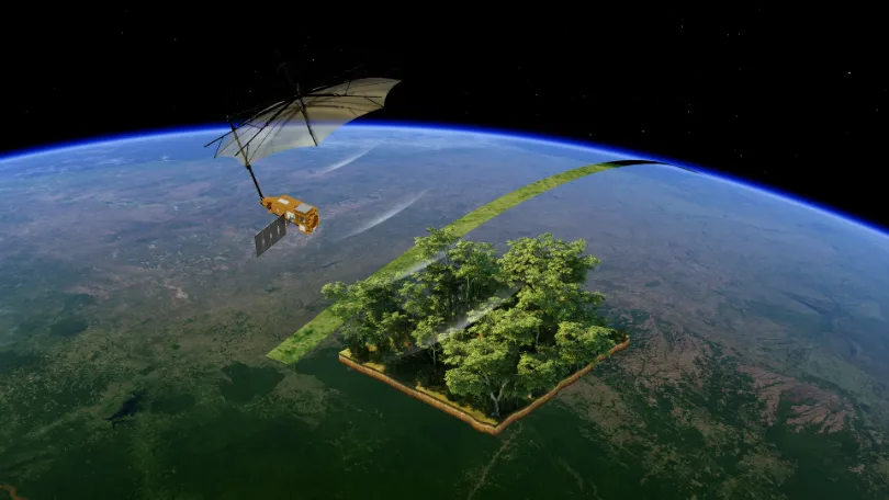
From Carbon Emissions to Carbon Sinks: How Satellites Support Carbon Monitoring
As the world continues to pursue net-zero targets, carbon data is becoming an increasingly important foundation for climate governance, corporate emissions reduction, and ecosystem management. Countries need to quantify and assess greenhouse gas emissions more accurately. Companies need an ongoing understanding of emissions changes across their operations and associated facilities. Carbon markets and carbon projects…
-
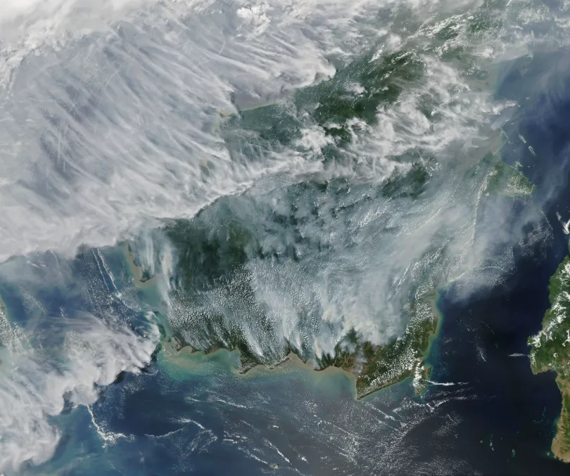
Rising Peatland Fire Risk in Southeast Asia: How Satellite Monitoring Strengthens Early Warning and Transboundary Haze Prevention
Southern Southeast Asia has entered its traditional dry season. As hotter and drier conditions develop, fire and smoke signals are emerging in parts of Indonesia and the wider region, raising concerns about the risk of transboundary haze later in the season. As of July 26, 2026, Palangka Raya, the capital of Central Kalimantan, Indonesia, had…
-
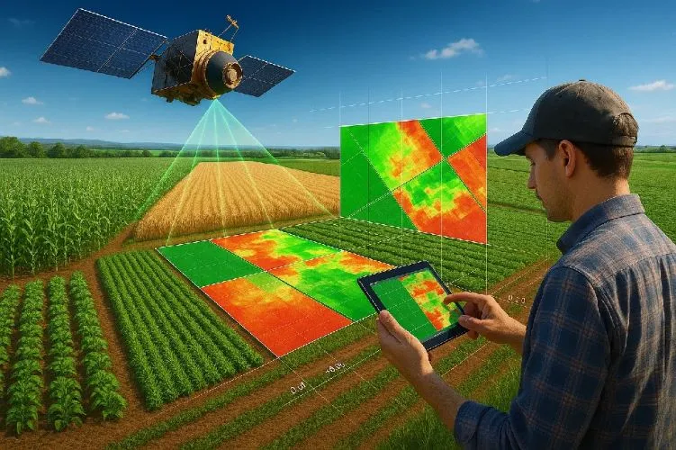
How does satellite data support precision agriculture?
Precision agriculture is an approach to farm management that seeks to optimize agricultural inputs, improve productivity, and enhance sustainability by accounting for variability within fields and across agricultural landscapes. Satellite data plays a central role in this process by providing timely, objective, and scalable information about crop conditions, soil characteristics, and environmental factors. Traditional farming…
-
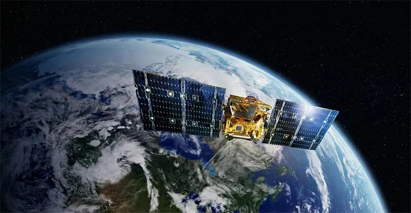
Can satellite imagery help with yield prediction?
Satellite imagery has become an increasingly important component of agricultural yield prediction, enabling organizations to estimate crop production before harvest and gain earlier visibility into potential agricultural outcomes. By combining Earth observation data with agronomic models, weather information, and historical records, analysts can develop more accurate forecasts at field, regional, national, and global scales. Yield…
-
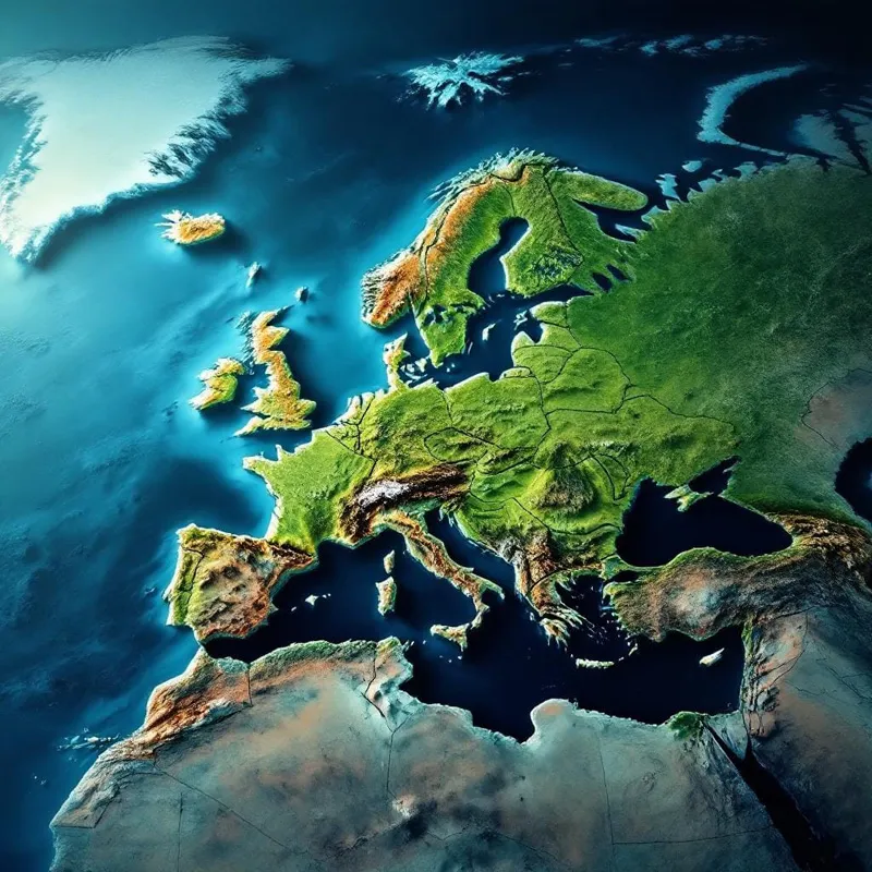
What indicators are used for vegetation and crop health analysis?
Vegetation and crop health analysis relies on a variety of indicators derived from satellite observations to assess plant vigor, productivity, stress levels, and overall agricultural performance. These indicators are typically generated using multispectral or hyperspectral imagery, which captures information across different wavelengths of light beyond what is visible to the human eye. One of the…
-
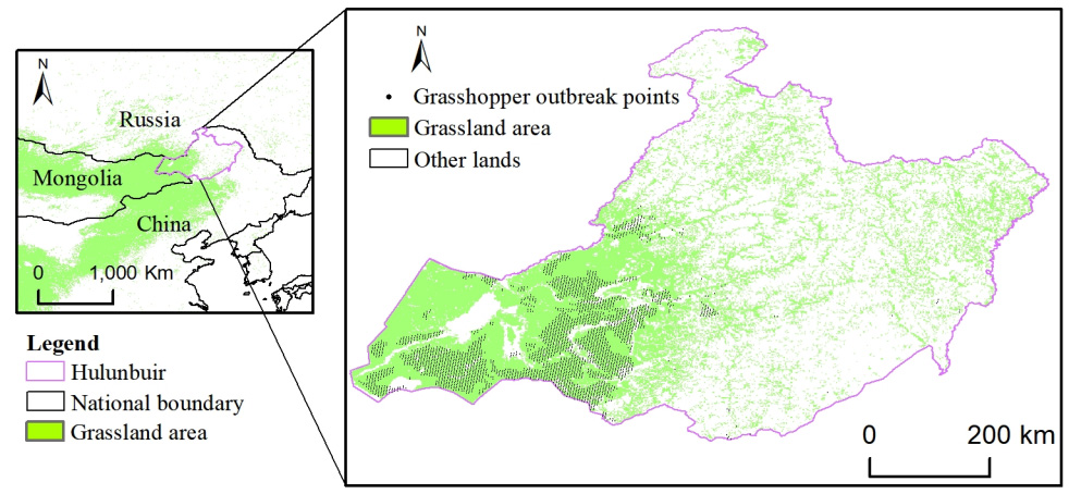
How can satellite data be used for crop monitoring?
Satellite data has become one of the most valuable tools for modern crop monitoring, providing consistent, large-scale visibility into agricultural conditions throughout the growing season. By capturing observations of farmland from space, Earth observation systems enable farmers, agribusinesses, governments, and agricultural researchers to assess crop performance, identify emerging risks, and make more informed management decisions.…
-
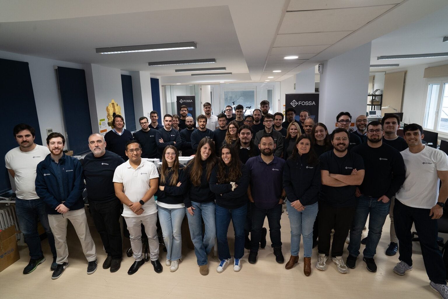
FOSSA Raises €9.25 Million to Expand IoT Satellite Network and Sovereign Space Capabilities
Spanish IoT satellite company FOSSA has secured €9.25 million (US$10.5 million) in a funding round to support international expansion and the continued deployment of its low Earth orbit (LEO) satellite constellation. The company said the new capital will be used to expand its commercial operations, strengthen its workforce, develop new security and defense capabilities, and…