
Tag: Agriculture
-
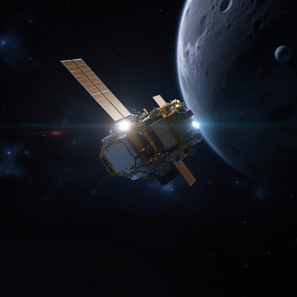
What Is Disaster Recovery as a Service (DRaaS) in the Space Industry?
As climate-related disasters, infrastructure disruptions, and operational risks become more frequent worldwide, organizations are increasingly seeking faster ways to restore services and recover critical capabilities. One concept gaining attention is Disaster Recovery as a Service (DRaaS), traditionally used in the cloud and IT sector to describe the recovery of digital systems and workloads after disruption.…
-
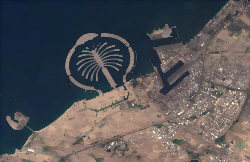
When the Desert Flooded: Satellite Imagery and the Future of Agricultural Flood Insurance
The April 2024 UAE floods stress-tested every traditional risk assessment model. STARPATH GLOBAL satellite imagery shows how Earth observation is transforming how agricultural insurers detect, verify, and price catastrophic flood events. Published: April 2024 · Region: United Arab Emirates · Data: STARPATH GLOBAL · USGS Event Background A once-in-75-year rainfall event On April 16, 2024,…
-
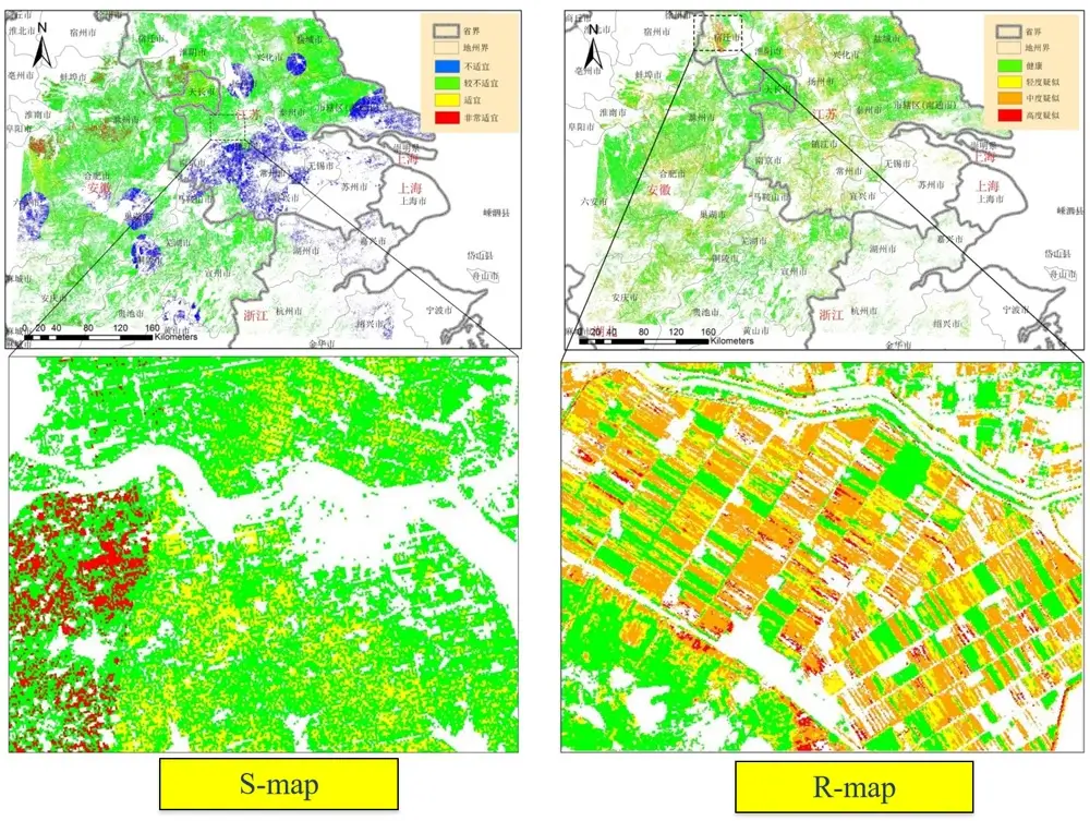
How to Monitor Crop Health Using Satellites: Transforming Modern Agriculture with Remote Sensing and AI
Several years ago, wheat farmers in Gansu Province, China, faced a familiar challenge. By the time they noticed yellow rust symptoms spreading across their fields, significant yield losses had already occurred. Traditional field inspections were slow, labor-intensive, and often unable to cover large agricultural areas. Today, however, the story is very different. Through advanced crop…
-
StarPath Global Closes Serbia Space Expo with China’s Leading Space Firms, Targets Energy & Agriculture Cooperation
Chairman Jing Lv Delivers Address on Satellite Intelligence for Europe; Serbian Energy and Agriculture Ministries Signal Cooperation Intent Belgrade, Serbia, May 2026. StarPath Global was selected as the closing keynote speaker at Serbia’s 1st Commercial Space Science and Technology Exhibition (1st CSST, Belgrade), the country’s inaugural event of its kind and a landmark moment for Serbia’s…
-
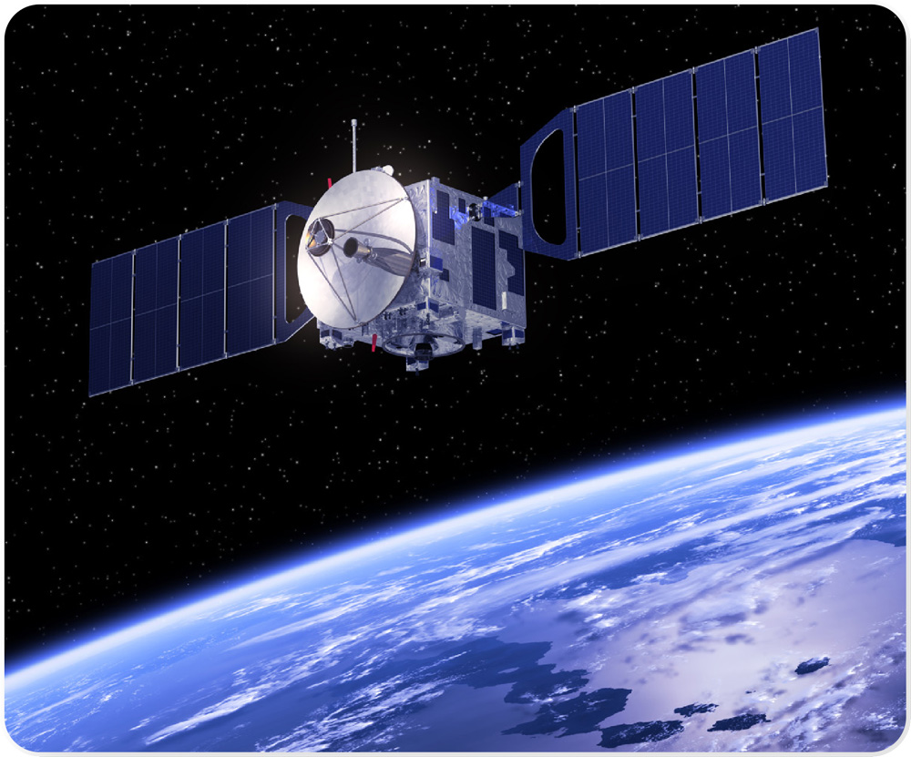
From Orbit to Operational Intelligence One Partner, Complete Chain
Most Earth observation companies sell you data. We deliver outcomes — because we control every link in the chain from satellite manufacturing to the insight that lands on your desk. The commercial space industry has matured to a point where the hard problem is no longer putting a sensor in orbit. The hard problem is…
-
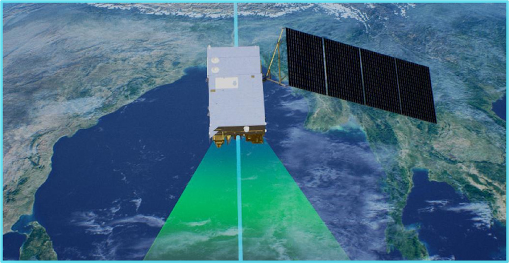
The Data Gap That Is Costing Your Country Billions
Every forest fire that spreads beyond control, every pipeline that fails before inspection, every harvest lost to disease that was visible from orbit weeks earlier — these are not failures of nature. They are failures of data. Across Southeast Asia and the Middle East, governments and corporations are making decisions about their most critical assets…
-

What Is Satellite Imagery? A Guide for Modern Businesses
From monitoring vast agricultural fields to planning the cities of tomorrow, the view from above offers unparalleled insights. Satellite imagery is transforming how industries operate, enabling organizations to make critical decisions with precision and foresight. These “eyes in the sky” provide a wealth of Earth observation data, driving efficiency, enhancing safety, and unlocking new possibilities.…
-

Bayer partners with Planetary Resources to use space data to boost agriculture on Earth
The Planetary Resources sign at its headquarters in Redmond, Wash. German chemical and pharmaceutical giant Bayer today inked a memorandum of understanding with Planetary Resources as part of a deal to utilize satellite images collected by the Redmond-based space startup. Bayer will use information from the crop-specific images to develop agricultural products as part of its Digital…