
Tag: crop monitoring
-
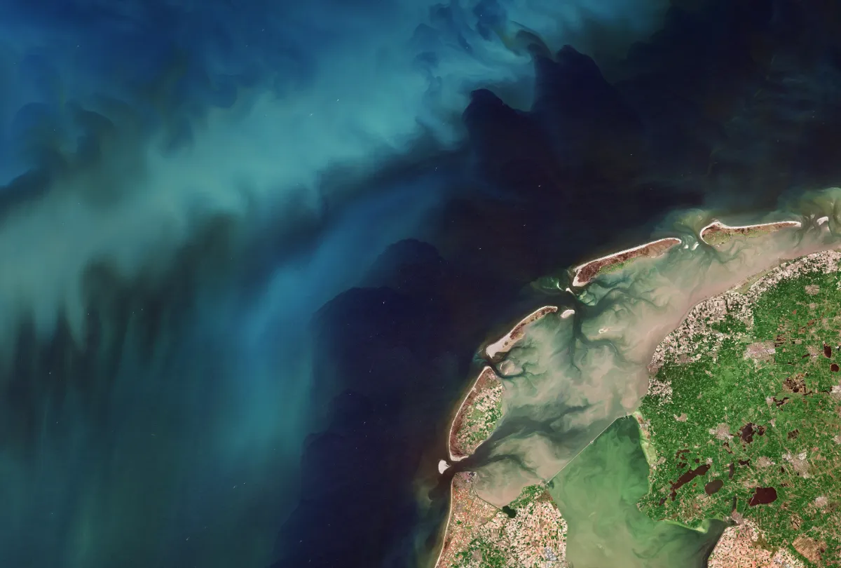
Is Sentinel-2 Detailed Enough for Small Fields? How to Check Before Monitoring
Sentinel-2 can support monitoring of some small agricultural fields, but field area alone cannot tell you whether it is detailed enough. A compact parcel may contain useful interior pixels, while a narrow parcel of the same area may be dominated by boundaries, neighbouring crops and field margins. The right test is whether the imagery provides…
-
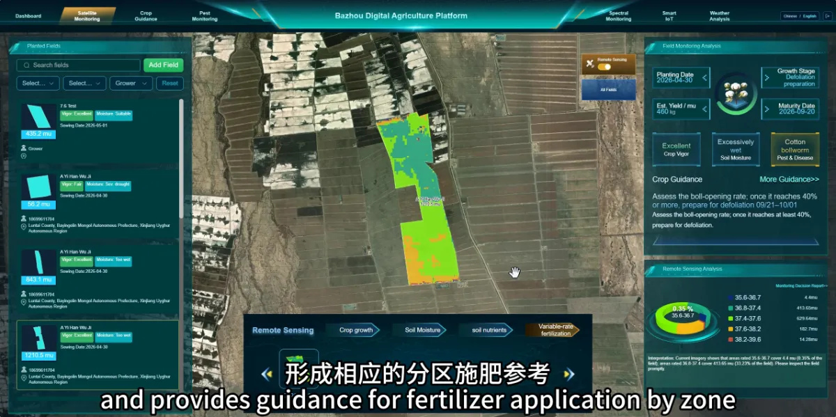
Why Consider Different Fertilizer Applications Within the Same Field?
Different parts of a field may have different nutrient conditions and crop needs. Reviewing these differences can help farmers decide whether fertilizer management should vary by zone. A uniform application may be straightforward, but it does not account for every difference in soil conditions or crop development. Monitoring provides information that can support a more…
-
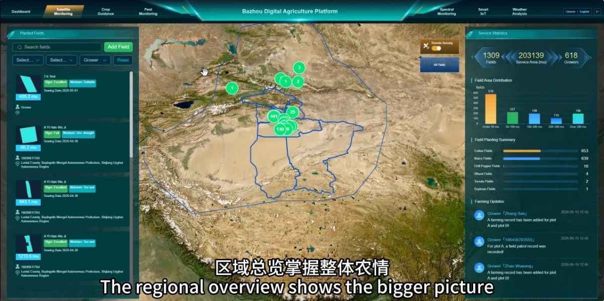
Why Do We Need Satellite Agricultural Monitoring If We Already Inspect Our Fields?
Satellite monitoring helps farmers see differences across their land and decide where field inspections should focus. It provides a wider view that complements the detailed knowledge gained by walking through crops. For farms with large or scattered fields, inspecting every location equally often can be difficult. Satellite observations help teams review conditions across multiple fields,…
-
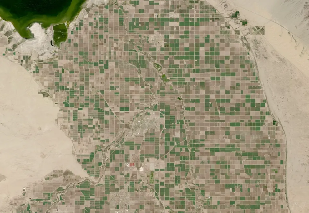
What Can Satellite Imagery Actually Tell You About Crop Health?
Satellite imagery can reveal where crop growth is uneven, how vegetation changes through the season, and which areas deserve closer inspection. It can also support estimates of canopy cover, biomass and water-related conditions. But a vegetation map does not, by itself, establish whether a crop is diseased, short of water or likely to produce a…
-
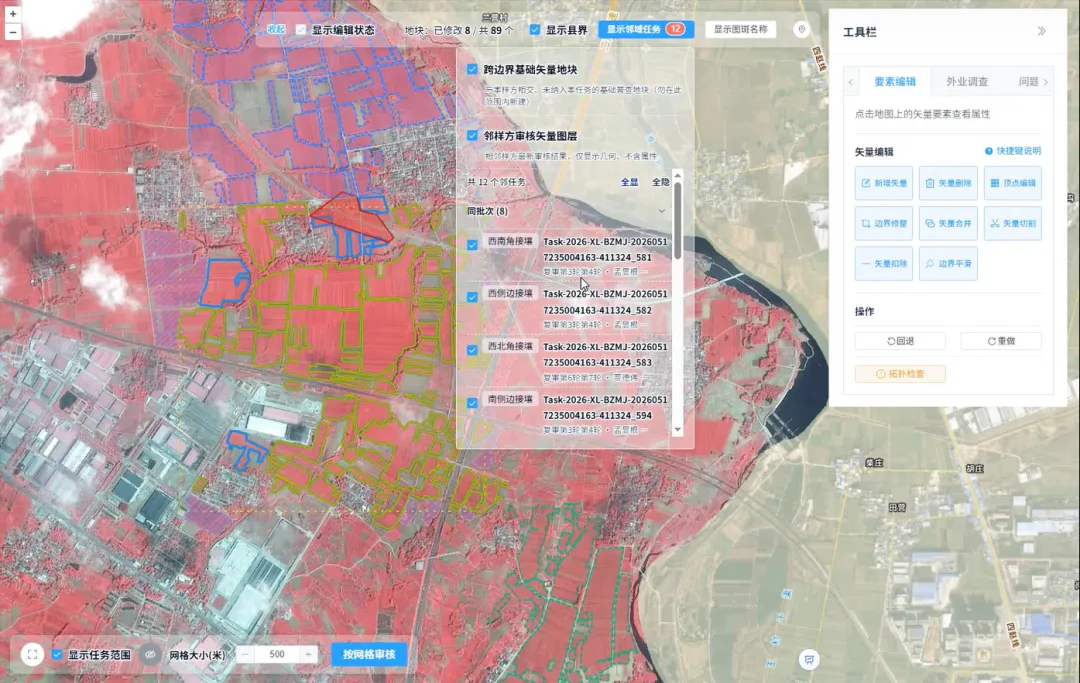
How Is Every Field Accurately Verified? China Uses Remote Sensing for Its Fourth National Agricultural Census
Remote sensing technology has given agricultural censuses “eyes in space,” but satellite imagery alone cannot produce agricultural data with 100% accuracy. Misaligned field boundaries, omitted or duplicated polygons, crop misclassification, and cloud cover obscuring ground conditions are all unavoidable challenges in remote sensing interpretation. These issues emerged during the remote sensing survey verification for China’s…
-
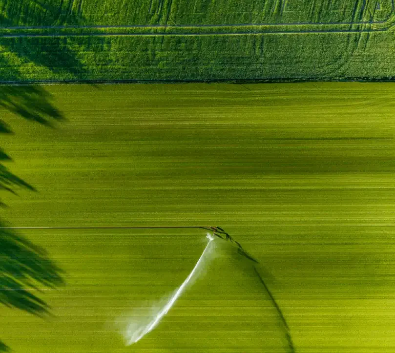
From Crop Health to Irrigation Management: How Satellite Remote Sensing Can Help Agriculture Respond to Growing Water Pressure
In the summer of 2026, drought across Europe and the developing El Niño once again drew attention to risks affecting agricultural production and food security. On August 13, the Associated Press reported that persistent heat and drought were affecting agricultural production across Europe, putting crops ranging from potatoes in the Netherlands and maize in Bosnia…
-
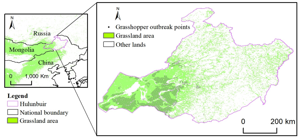
How can satellite data be used for crop monitoring?
Satellite data has become one of the most valuable tools for modern crop monitoring, providing consistent, large-scale visibility into agricultural conditions throughout the growing season. By capturing observations of farmland from space, Earth observation systems enable farmers, agribusinesses, governments, and agricultural researchers to assess crop performance, identify emerging risks, and make more informed management decisions.…