
Tag: Infrastructure Monitoring
-
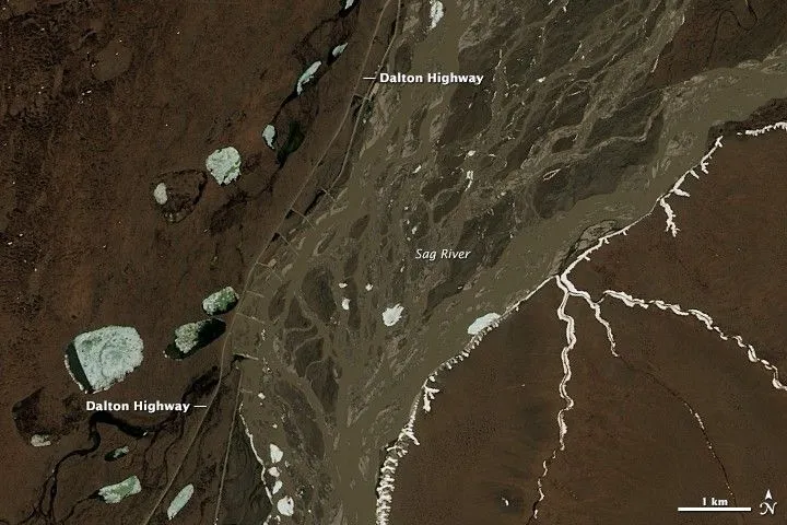
How to Define a Satellite Imagery AOI for Pipeline and Power-Line Corridors
A pipeline or power-line network usually starts as a set of centerlines in a GIS. Turning those lines into a satellite imagery area of interest (AOI) requires decisions about what to monitor, how much surrounding land to include, and which geometry the imagery supplier can accept. A polygon that passes an upload check can still…
-
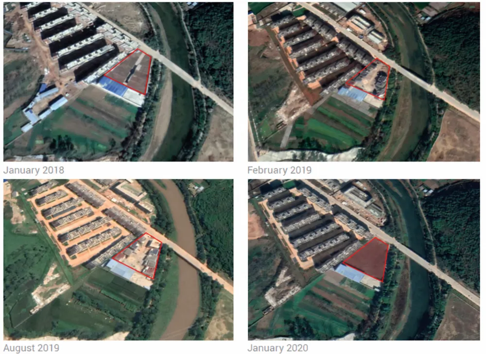
Satellite Revisit Time vs. Actual Monitoring Frequency
A satellite may be able to revisit your site every few days, yet the interval between usable images can be much longer. Clouds, acquisition schedules, viewing conditions and delivery requirements all affect when a new observation becomes useful. For monitoring projects, the key question is not simply how often a satellite can see the target,…
-
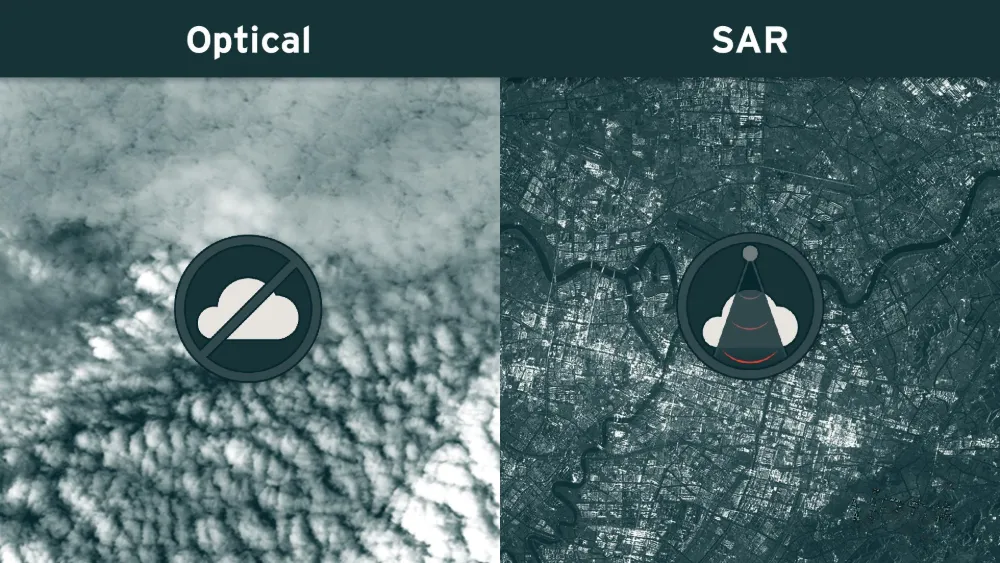
Why Satellite Monitoring Fails Under Cloud Cover — and When SAR Helps
A satellite may pass over a mine, port or infrastructure corridor on schedule and still produce no usable optical view of the site. Clouds can hide the ground, while cloud shadows and haze can make visible areas unsuitable for reliable analysis. Synthetic aperture radar (SAR) can maintain observations through cloud cover and darkness, but it…
-
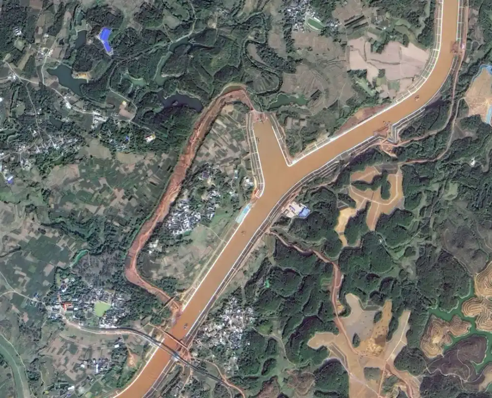
Pinglu Canal Officially Opens to Shipping: Satellite Images Capture China’s Project of the Century
China’s 134.2-kilometer Pinglu Canal officially opened to navigation on September 16, 2026, creating a direct waterway between the Xijiang River system and the Beibu Gulf. Satellite imagery released by the China Centre for Resources Satellite Data and Application provides a corridor-wide view of the RMB 72.7 billion project and records the construction of new channels,…
-
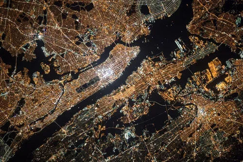
Mianyang, Sichuan Uses SAR Satellites to Monitor Ground Deformation and Identify Urban Building Safety Risks
Satellite remote sensing is moving beyond specialized surveying and scientific research into practical applications such as urban governance, agriculture, resource management and infrastructure monitoring. This shift is particularly visible in China. In 2025, China launched more than 120 remote-sensing satellites, while its civilian remote-sensing satellite fleet in orbit exceeded 640, maintaining the country’s position as…
-
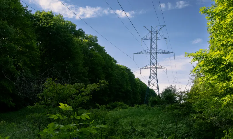
From Post-Disaster Repairs to Early Warning: How to Identify High-Risk Power Line Corridors for Vegetation Management
In early August 2026, the Bradley Creek wildfire spread rapidly amid strong winds in British Columbia’s Okanagan region, causing severe damage to local infrastructure, widespread power outages, and emergency evacuations. In an August 3 incident update, local utility BC Hydro reported extensive damage to its electrical system. Approximately 150 distribution poles had been identified for…
-
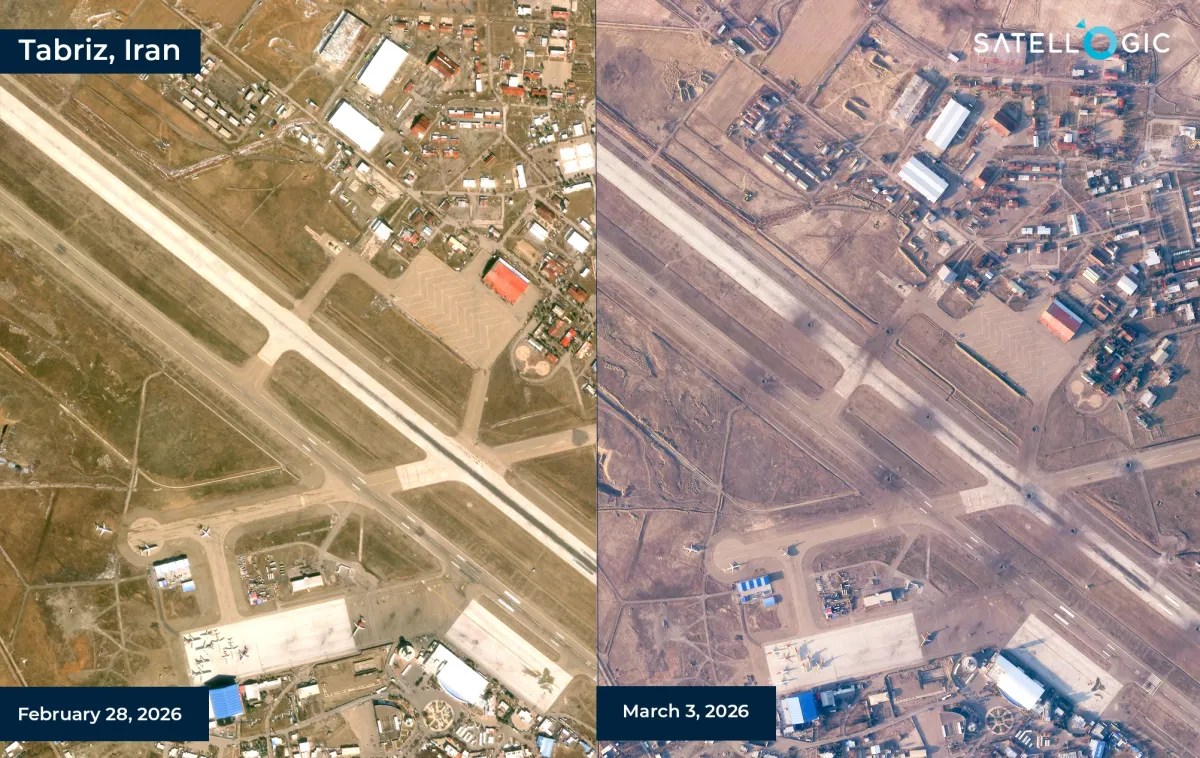
Satellogic and SynMax Partner to Develop AI-Powered Geospatial Intelligence Solutions
Satellogic and SynMax have announced a strategic collaboration to develop geospatial intelligence products that combine satellite imagery with artificial intelligence-driven analytics for defense, intelligence, and security customers. The partnership brings together Satellogic’s Earth observation infrastructure and SynMax’s AI-based intelligence platform, with the companies aiming to deliver persistent monitoring and analysis capabilities across a range of…
-
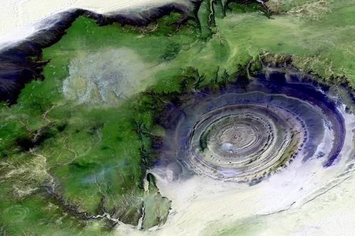
Why GIS Specialists Are Shifting From Mapping to Monitoring
The shift from mapping to monitoring comes down to the frequency of tasking satellite imagery. Gathering Earth Observation data is a tactic used across industries to help solve some of the world’s biggest problems. From predicting crop yields in agriculture to monitoring oil pipelines, the use cases for satellite imagery are limitless. Mapping is certainly…