
Tag: Sentinel 1
-
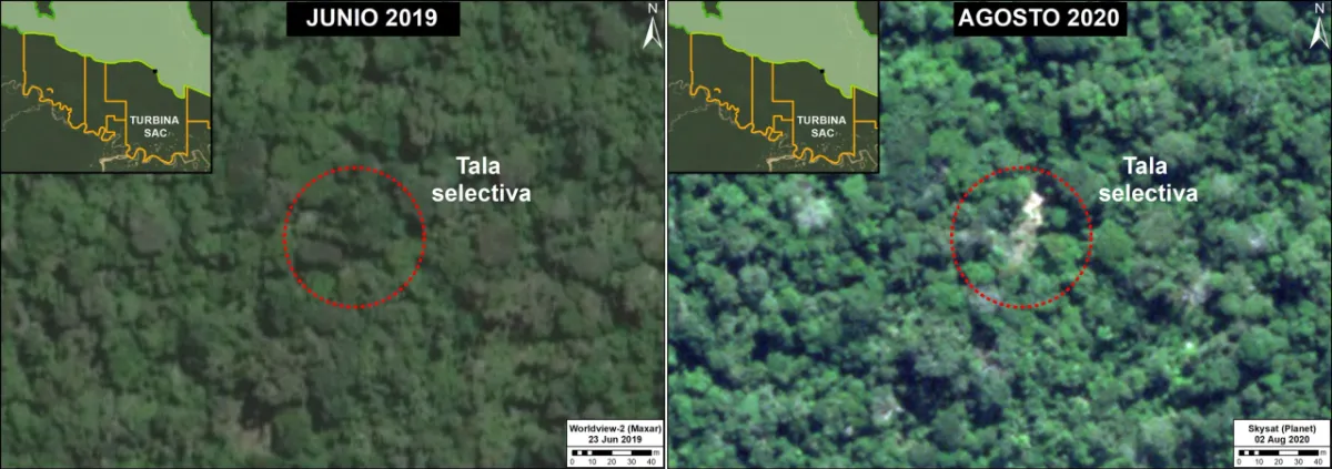
Can Satellite Imagery Detect Selective Logging?
Satellite imagery can detect some selective logging, particularly when tree removal creates visible canopy gaps, new access routes or repeated changes in the radar signal. However, detecting a large clear-cut is a different task from identifying scattered tree removal beneath a mostly intact canopy. The reliability of the result depends on the disturbance footprint, forest…
-
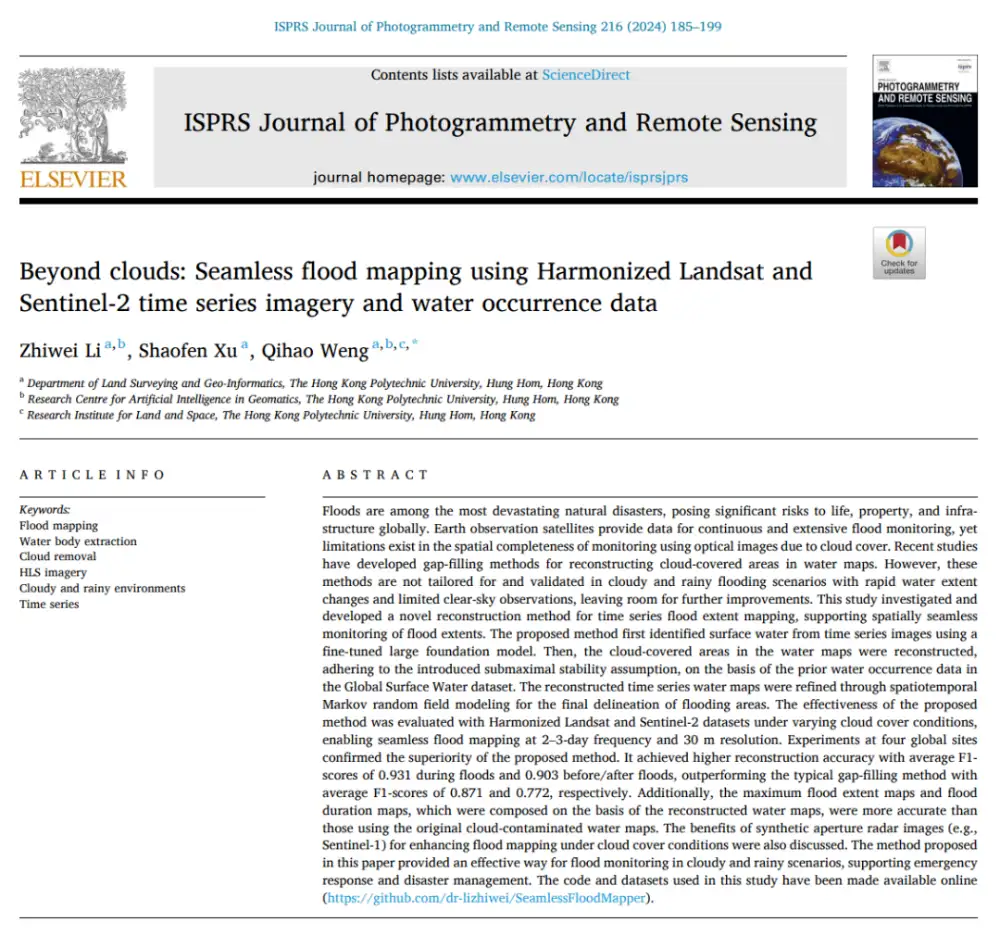
Can Optical Satellites Keep Tracking Floods When Clouds Block the View?
In brief: Landsat and Sentinel-2 can capture flood details well, but they are most vulnerable to the very condition that often accompanies major flooding: cloud cover. Rather than trying to generate a visually plausible cloud-free optical image, this study directly reconstructs whether the surface beneath the clouds is water or non-water. The researchers combined Harmonized…
-
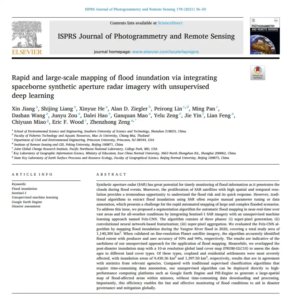
Can SAR Map Floods Without Manual Labels or Threshold Tuning?
In brief: Conventional SAR-based flood mapping often runs into two obstacles: thresholds must be adjusted repeatedly by hand, while supervised learning requires large volumes of labeled data. This paper proposes Felz-CNN, also known as the adaptive unsupervised Felz-CNN segment system (AUFCS). The method first uses Felzenszwalb superpixels to divide a SAR image into many internally…
-
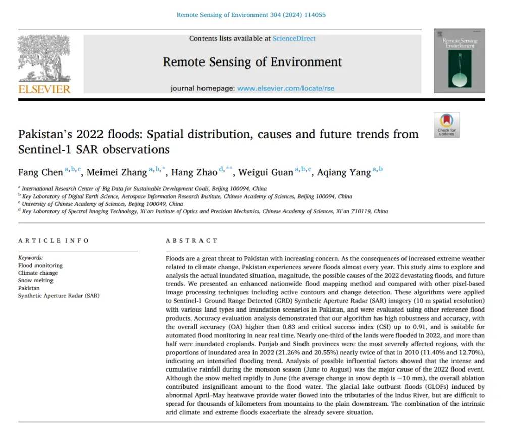
What Really Caused Pakistan’s 2022 Floods: Extreme Rainfall, Snowmelt, or Glacial Lake Outburst Floods?
In brief: Published in Remote Sensing of Environment, this study does more than use Sentinel-1 data to map Pakistan’s catastrophic 2022 floods. It seeks to answer three broader questions: How much of the country was flooded? Why was the disaster so severe? And was it worse than the major flood of 2010? The authors developed…
-
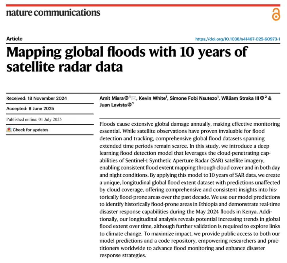
A Decade of Sentinel-1 Scanning the Globe: How Much Flooding Have We Been Missing?
Key takeaway: Several global flood datasets already exist, but their long-term records rely primarily on optical remote sensing from satellites such as MODIS and Landsat. Yet the most severe floods often occur under thick cloud cover. The real question this study seeks to answer is not “How can we detect floods one more time?” but…
-
Images from European satellite reveal possible impact with space junk
The picture shows Sentinel 1A’s solar array before and after the impact of a millimeter-size particle on the second panel. The damaged area has a diameter of about 40 centimeters (16 inches), which is consistent on this structure with the impact of a fragment of less than 5 millimeters (0.2 inches) in size. Credit: ESA…