
Tag: Utilities
-
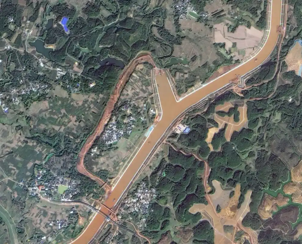
Pinglu Canal Officially Opens to Shipping: Satellite Images Capture China’s Project of the Century
China’s 134.2-kilometer Pinglu Canal officially opened to navigation on September 16, 2026, creating a direct waterway between the Xijiang River system and the Beibu Gulf. Satellite imagery released by the China Centre for Resources Satellite Data and Application provides a corridor-wide view of the RMB 72.7 billion project and records the construction of new channels,…
-

Danube Drought Cuts Nuclear Output: How Satellites Support Water–Energy Risk Monitoring
On 20 August 2026, Bulgaria’s Ministry of Energy and Kozloduy Nuclear Power Plant announced that Unit 5 would be reduced by approximately 120 MW on 21 August as a preventive measure in response to the Danube’s continuing decline to critically low levels. The reduction was equivalent to roughly 12% of the unit’s approximately 1,000 MW…
-
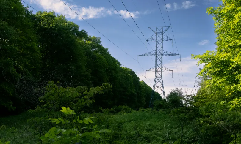
From Post-Disaster Repairs to Early Warning: How to Identify High-Risk Power Line Corridors for Vegetation Management
In early August 2026, the Bradley Creek wildfire spread rapidly amid strong winds in British Columbia’s Okanagan region, causing severe damage to local infrastructure, widespread power outages, and emergency evacuations. In an August 3 incident update, local utility BC Hydro reported extensive damage to its electrical system. Approximately 150 distribution poles had been identified for…
-
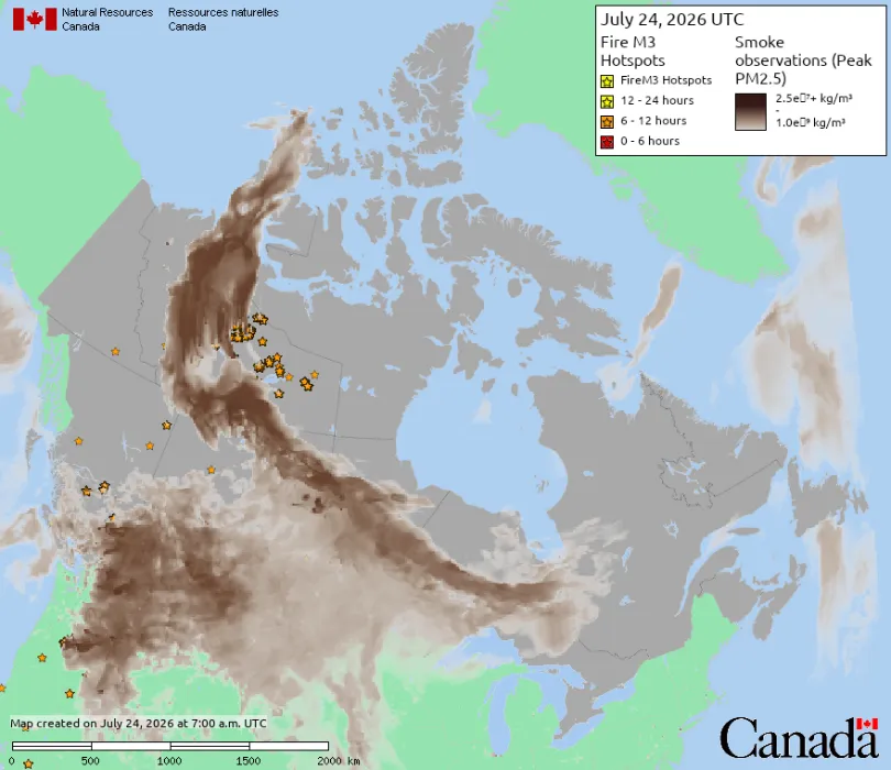
Wildfire Smoke from Canada Crosses into the United States: How Satellite Data Supports Wildfire Monitoring and Environmental Management
In mid-July 2026, smoke from wildfires burning across central Canada continued spreading southeast across the U.S.-Canada border, pushing Detroit’s Air Quality Index to its highest reported level since monitoring began in 1999. Several cities were listed among the most polluted major cities in the world during this period. A watercraft sits in the Detroit River…