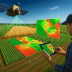
Satellite data has become one of the most valuable tools for modern crop monitoring, providing consistent, large-scale visibility into agricultural conditions throughout the growing season. By capturing observations of farmland from space, Earth observation systems enable farmers, agribusinesses, governments, and agricultural researchers to assess crop performance, identify emerging risks, and make more informed management decisions.
One of the primary advantages of satellite-based crop monitoring is its ability to provide repeated observations across large geographic areas. Traditional field inspections can offer detailed information at specific locations, but they are often time-consuming, labor-intensive, and difficult to scale. Satellite imagery complements ground observations by delivering a broader view of agricultural landscapes, allowing stakeholders to monitor thousands or even millions of hectares efficiently.
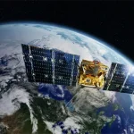
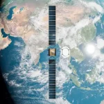
Crop monitoring begins with the acquisition of optical, multispectral, hyperspectral, or Synthetic Aperture Radar (SAR) imagery. These datasets contain information about plant conditions that may not be visible to the human eye. By analyzing reflectance patterns across different wavelengths, analysts can assess vegetation vigor, detect stress, and monitor crop development over time.
Satellite data can be used to track key stages of crop growth, from planting and emergence to maturity and harvest. Temporal imagery allows users to compare current conditions with historical observations, helping identify unusual growth patterns or deviations from expected seasonal trends. This capability is particularly useful for monitoring large agricultural regions where field-level inspections may not be practical.
Weather-related risks are another major application. Satellite observations can help identify drought impacts, flooding events, storm damage, and heat stress affecting agricultural production. Early detection enables farmers and agricultural managers to respond more quickly and reduce potential losses. In regions where weather variability significantly influences productivity, satellite monitoring provides an important layer of situational awareness.
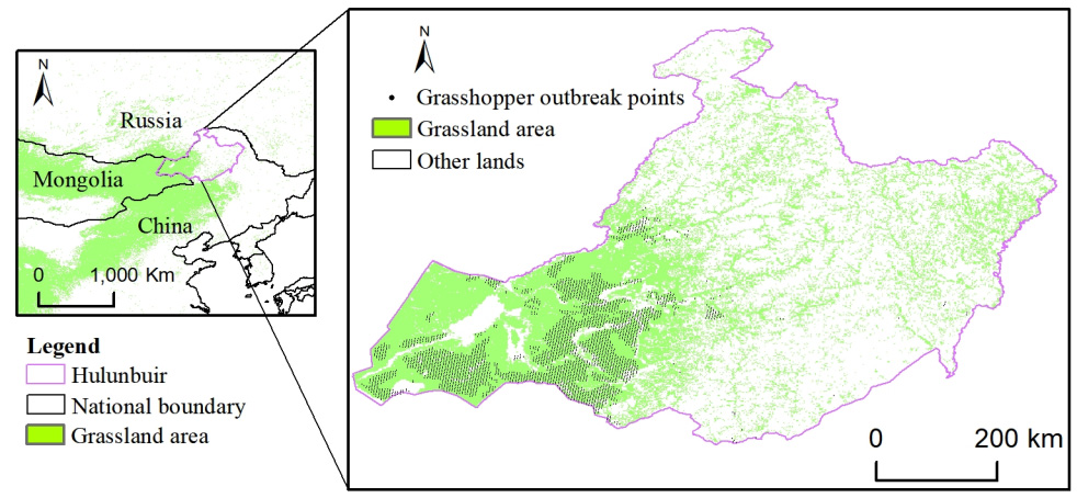
Satellite imagery also supports the identification of pest infestations and disease outbreaks. While satellites may not directly observe specific pathogens or insects, changes in crop health can often be detected through vegetation indices and spectral analysis before symptoms become visible from the ground. This allows for earlier investigation and targeted intervention.
In addition to monitoring individual fields, satellite data is widely used for regional and national agricultural assessments. Governments, food security organizations, and commodity analysts rely on Earth observation systems to estimate planted area, monitor crop conditions, assess seasonal production potential, and evaluate agricultural risks. These insights contribute to policy development, supply chain planning, and market forecasting.
The integration of satellite data with weather information, soil measurements, IoT sensors, and agricultural management systems further enhances monitoring capabilities. Advanced analytics and machine learning models can transform imagery into actionable insights, supporting both operational decision-making and long-term agricultural planning.
As satellite constellations continue to expand and revisit rates improve, crop monitoring is becoming increasingly timely and accessible. Organizations can now obtain frequent observations throughout the growing season, enabling more proactive management and data-driven agricultural strategies. By providing objective, scalable, and repeatable observations, satellite data plays a critical role in improving agricultural productivity, resilience, and sustainability. Case studies →