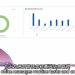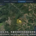
A wildfire monitoring platform can help managers identify areas that need closer attention and review whether people and resources are ready. Its role begins during routine prevention work, before a fire occurs.
Forest managers face practical questions every day: Where should patrols be strengthened? Which areas need closer observation? If an anomaly appears, which teams, water sources and supplies are nearby? Bringing this information together on a map makes it easier to plan.
How can teams identify priorities for patrols and duty coverage?
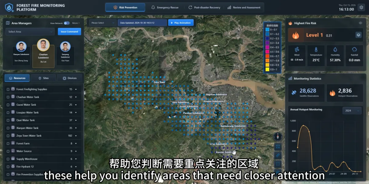
The risk prevention view in the STARPATH GLOBAL wildfire monitoring platform displays fire danger levels, differences in risk across areas, and weather information such as wind, temperature, humidity and precipitation.
Staff can consider this information alongside local conditions to identify areas that need additional attention and arrange patrols or duty coverage accordingly. Annual hotspot statistics also help reveal months with more historical alerts, providing context for seasonal staffing and supply planning.
Risk information indicates where closer attention may be useful. It does not establish that a fire will occur at a particular location. Its purpose is to support prevention planning.
How does a risk shown on a map become someone’s responsibility?
The platform links management areas to their responsible managers and teams. Selecting an area allows staff to review the relevant responsibility information and identify whom to contact.
Users can also display water sources, firefighting supplies, monitoring equipment and locations such as residential areas, schools and factories. This helps managers understand both available resources and places that may need particular attention if a fire occurs.
For a higher-risk area, managers can review the assigned team and resource distribution to assess whether patrol coverage is sufficient and whether equipment or supplies need maintenance or replenishment.
What creates value in everyday use?
The platform organises information that might otherwise be scattered: who follows up on a risk, where resources are located and what surrounds important sites.
Keeping this information current and assigning follow-up responsibilities helps turn monitoring results into practical prevention work, improving readiness for a potential fire.