
Agriculture
-
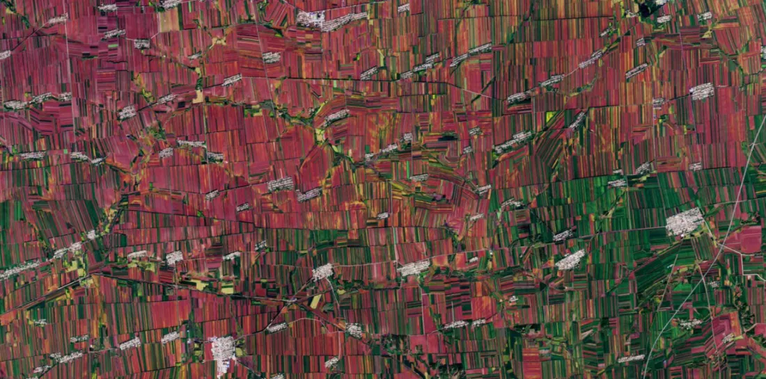
How Satellite Data and AI Are Transforming Crop Insurance in China
Read more →: How Satellite Data and AI Are Transforming Crop Insurance in ChinaWhat does computing in space actually change for people on the ground? Crop insurance offers a practical starting…
-
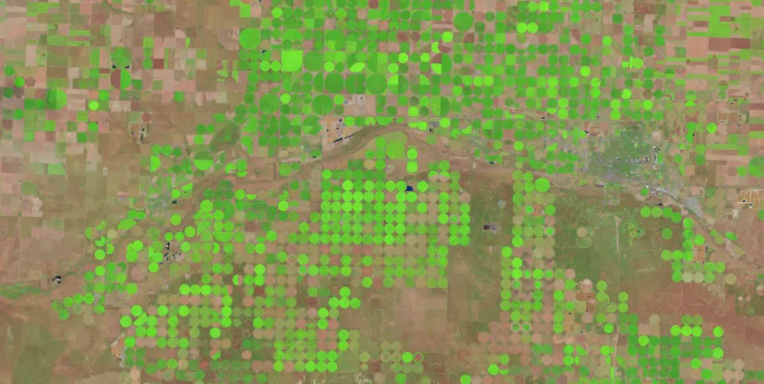
How Satellite Data Supports Agricultural Insurance and Lending
Read more →: How Satellite Data Supports Agricultural Insurance and LendingSatellite images, analytical findings and monitoring indicators are the raw materials of a growing data economy. But data…
-
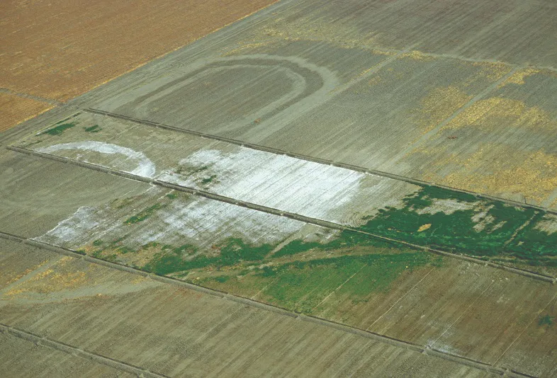
Can Satellite Imagery Detect Soil Salinity?
Read more →: Can Satellite Imagery Detect Soil Salinity?Satellite imagery can reveal exposed salt crusts, identify crop patterns consistent with salt stress, and support soil salinity…
-
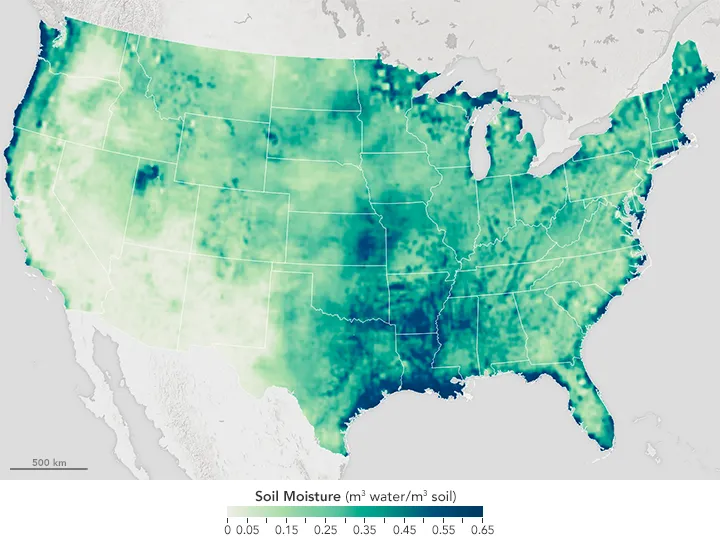
How Reliable Is Satellite Soil Moisture at Field Scale?
Read more →: How Reliable Is Satellite Soil Moisture at Field Scale?Satellite soil moisture can help identify drying trends, track surface wetting and prioritize agricultural inspections. Whether it can…
-
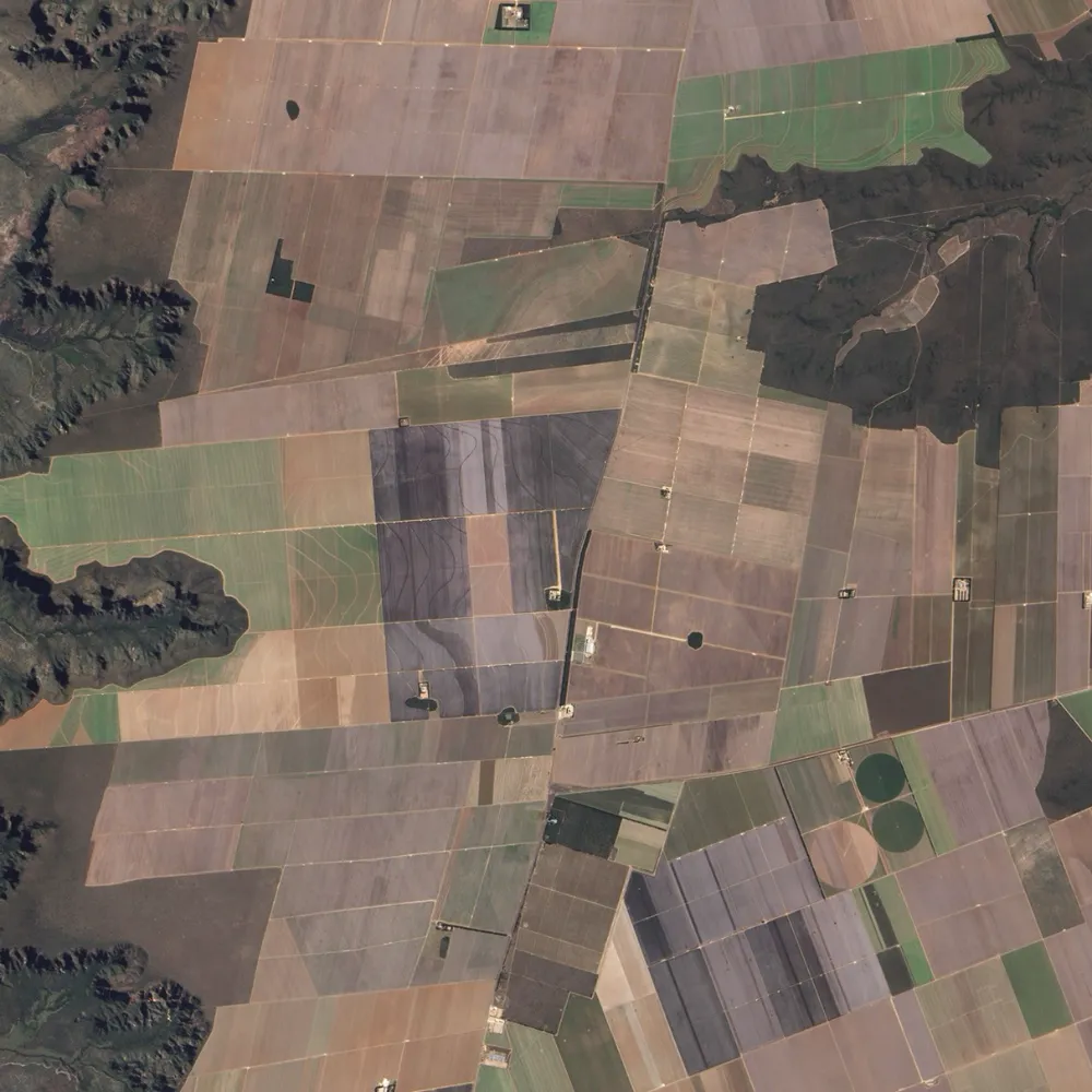
Can Satellites Measure Soil Organic Carbon?
Read more →: Can Satellites Measure Soil Organic Carbon?Satellites can help estimate soil organic carbon and map its spatial variation, but they do not directly measure…
-
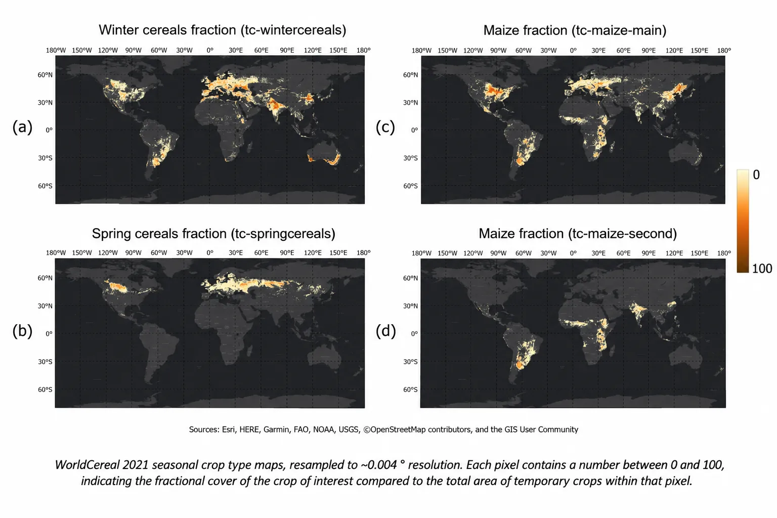
How to Identify Crop Types with Limited Ground Truth
Read more →: How to Identify Crop Types with Limited Ground TruthSatellite imagery can help identify what farmers are growing, even when field observations are limited. But a detailed…
-
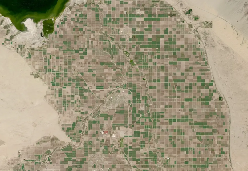
What Can Satellite Imagery Actually Tell You About Crop Health?
Read more →: What Can Satellite Imagery Actually Tell You About Crop Health?Satellite imagery can reveal where crop growth is uneven, how vegetation changes through the season, and which areas…
-
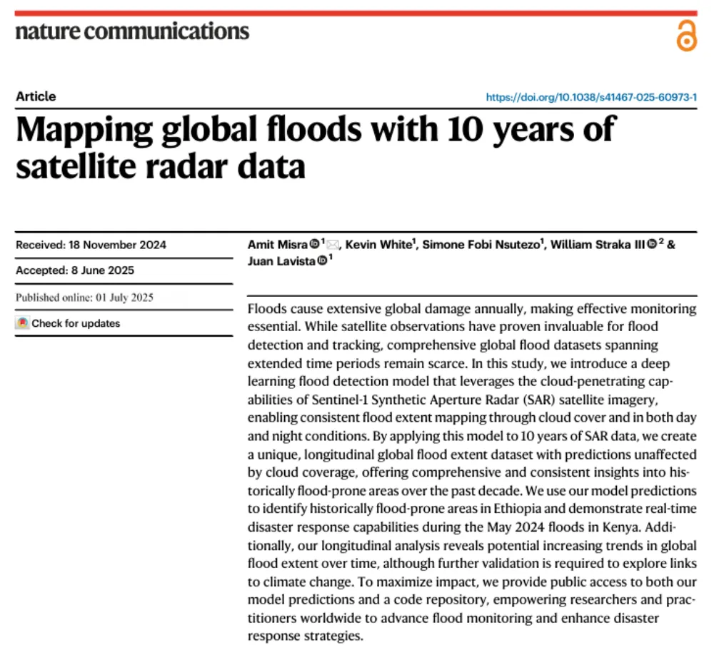
A Decade of Sentinel-1 Scanning the Globe: How Much Flooding Have We Been Missing?
Read more →: A Decade of Sentinel-1 Scanning the Globe: How Much Flooding Have We Been Missing?Key takeaway: Several global flood datasets already exist, but their long-term records rely primarily on optical remote sensing…
-
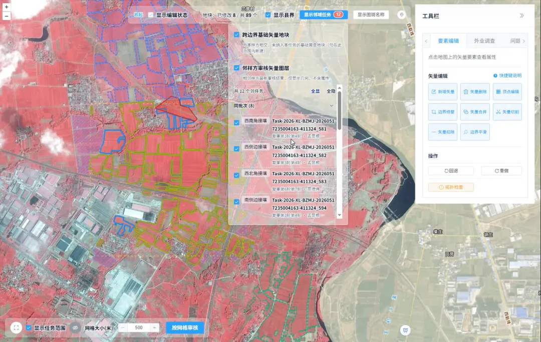
How Is Every Field Accurately Verified? China Uses Remote Sensing for Its Fourth National Agricultural Census
Read more →: How Is Every Field Accurately Verified? China Uses Remote Sensing for Its Fourth National Agricultural CensusRemote sensing technology has given agricultural censuses “eyes in space,” but satellite imagery alone cannot produce agricultural data…
-
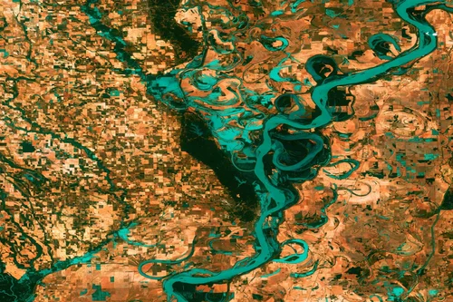
China’s Butuo County Deploys Satellite Remote Sensing and Low-Altitude Drones for Agriculture and Governance
Read more →: China’s Butuo County Deploys Satellite Remote Sensing and Low-Altitude Drones for Agriculture and GovernanceAcross China, satellite remote sensing and low-altitude drones are increasingly being deployed in rural agriculture. From monitoring crop…