
Author: starpathwp-zyj
-
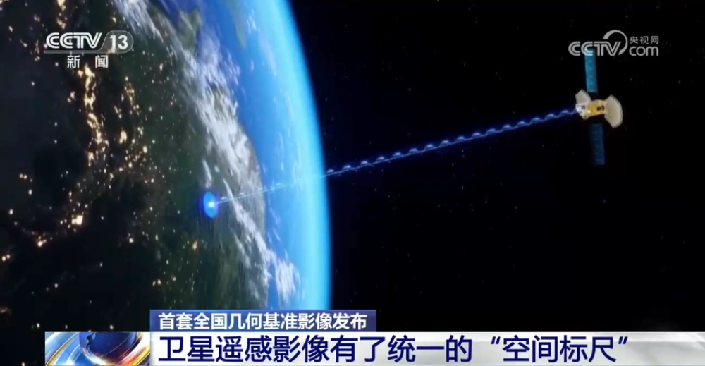
China Releases First Nationwide Geometric Reference Imagery, Creating a Common Spatial Standard for Satellite Data and Cutting Processing Costs
China’s Ministry of Natural Resources has released the country’s first set of geometric reference imagery covering its entire land territory, establishing a common spatial reference for the production and geometric correction of satellite remote-sensing imagery. Announced in late August, the dataset has a spatial resolution better than 0.5 meters and is intended to address a…
-
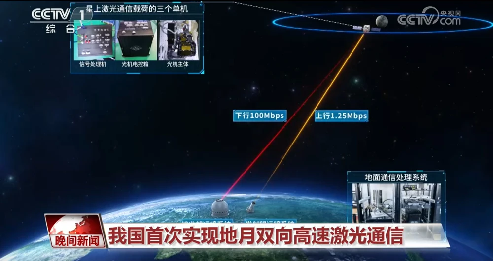
China Achieves First Two-Way High-Speed Earth-Moon Laser Communications
China has achieved two-way high-speed laser communications between Earth and the Moon for the first time, establishing a bidirectional optical link across more than 400,000 kilometers and marking a major expansion of the country’s space laser communications capabilities into cislunar space. The Technology and Engineering Center for Space Utilization of the Chinese Academy of Sciences…
-

Closing the Last Mile of Earth Observation: How FDEs Turn Geospatial Intelligence into Business Outcomes
“We want to identify risks earlier.” For a mining company managing multiple tailings facilities, this is a natural business objective: regularly acquire satellite imagery, detect changes in the facilities and their surrounding environments, assess potential risk signals, and issue alerts when anomalies may require further attention. From a technical perspective, this may not seem particularly…
-

China–Nepal Border Flood: How Satellite Intelligence Supports Disaster Response When Roads and Communications Fail
Information current as of August 28, 2026. The disaster mechanism, casualty figures, and damage estimates remain subject to revision as field investigations continue. On August 26, 2026, a devastating flood and debris-flow disaster struck the Himalayan region along the border between China’s Xizang Autonomous Region and Nepal. Fast-moving floodwater, sediment, and boulders swept through narrow…
-

Mianyang, Sichuan Uses SAR Satellites to Monitor Ground Deformation and Identify Urban Building Safety Risks
Satellite remote sensing is moving beyond specialized surveying and scientific research into practical applications such as urban governance, agriculture, resource management and infrastructure monitoring. This shift is particularly visible in China. In 2025, China launched more than 120 remote-sensing satellites, while its civilian remote-sensing satellite fleet in orbit exceeded 640, maintaining the country’s position as…
-
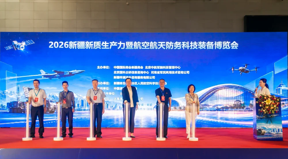
STARPATH GLOBAL Showcases Space and Geospatial Intelligence Capabilities at Xinjiang Aerospace and Defense Technology Expo, Exploring New Opportunities for Global Commercial Space Cooperation
Urumqi, Xinjiang, China — The 2026 Xinjiang New Quality Productive Forces and Aerospace & Defense Technology Equipment Expo was held from August 21 to 23, 2026, at the Xinjiang International Convention and Exhibition Center. Under the theme “Empowering Aerospace with New Quality Productive Forces and Strengthening National Defense through Technological Innovation,” the expo focused on…
-
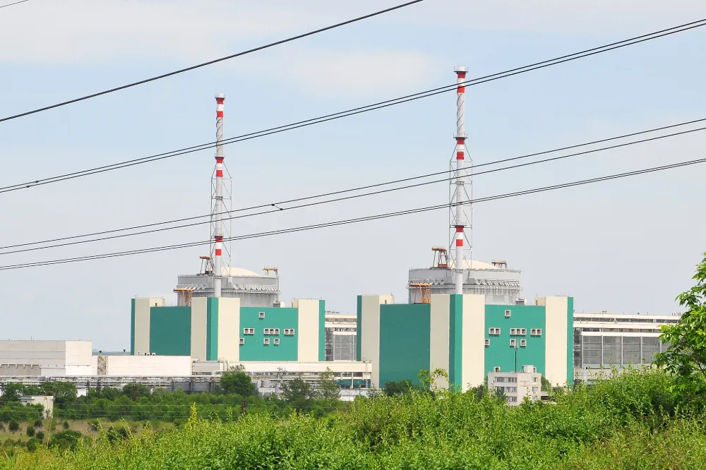
Danube Drought Cuts Nuclear Output: How Satellites Support Water–Energy Risk Monitoring
On 20 August 2026, Bulgaria’s Ministry of Energy and Kozloduy Nuclear Power Plant announced that Unit 5 would be reduced by approximately 120 MW on 21 August as a preventive measure in response to the Danube’s continuing decline to critically low levels. The reduction was equivalent to roughly 12% of the unit’s approximately 1,000 MW…
-
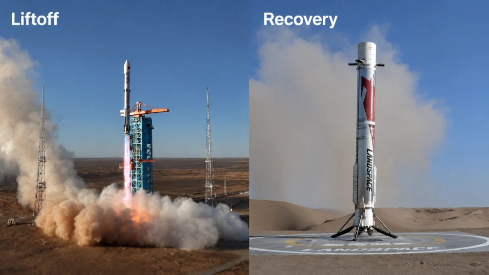
Zhuque-3 Y2 Successfully Recovered: China Achieves Its First Onshore Recovery of an Orbital-Class Rocket First Stage
At 7:35 a.m. Beijing Time on August 19, 2026, the Zhuque-3 Y2 launch vehicle, developed by LandSpace Technology Corporation Ltd. serving as the prime contractor, lifted off from the Dongfeng Commercial Space Innovation Pilot Zone. Approximately 137 seconds after liftoff, the first and second stages separated. The second stage continued its flight and successfully placed…
-
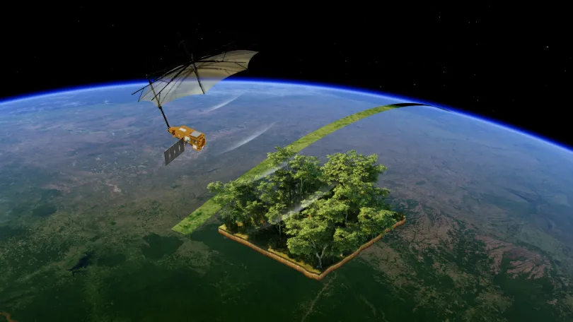
From Carbon Emissions to Carbon Sinks: How Satellites Support Carbon Monitoring
As the world continues to pursue net-zero targets, carbon data is becoming an increasingly important foundation for climate governance, corporate emissions reduction, and ecosystem management. Countries need to quantify and assess greenhouse gas emissions more accurately. Companies need an ongoing understanding of emissions changes across their operations and associated facilities. Carbon markets and carbon projects…
-

From Crop Health to Irrigation Management: How Satellite Remote Sensing Can Help Agriculture Respond to Growing Water Pressure
In the summer of 2026, drought across Europe and the developing El Niño once again drew attention to risks affecting agricultural production and food security. On August 13, the Associated Press reported that persistent heat and drought were affecting agricultural production across Europe, putting crops ranging from potatoes in the Netherlands and maize in Bosnia…