
Author: starpathwp-zyj
-
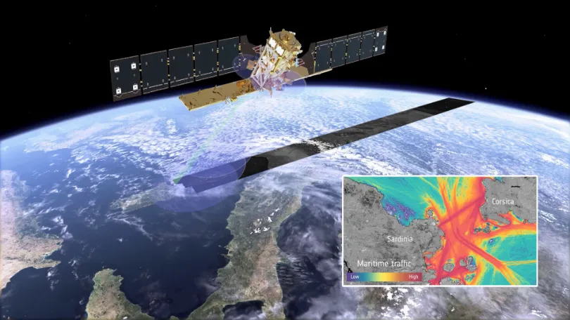
When Vessels “Disappear” from the Map: How Multi-Source Satellite Data Can Help Detect Maritime Smuggling
In May 2026, conventional vessel-tracking maps showed major information gaps around the Strait of Hormuz. The gaps did not necessarily mean that the vessels had left the area. According to Windward, dark-vessel activity in and around the Strait increased by nearly 600% between April 19 and May 3. On May 5, its multi-source analysis identified…
-
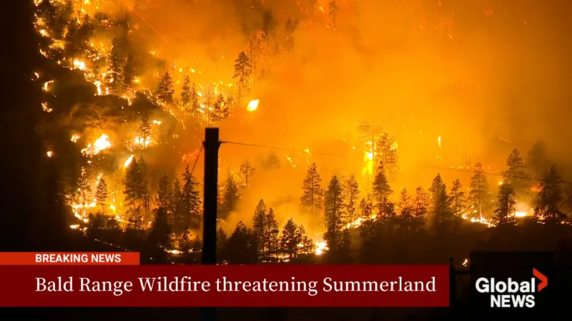
The Bald Range Wildfire Exploded in Size Within Hours: How Satellite Data Can Close the Speed Gap Between Disaster and Decision-Making
The Bald Range wildfire in British Columbia’s Southern Interior was first reported on the evening of August 7, 2026. According to local emergency officials, it grew to approximately 50 square kilometres within about three hours. By the afternoon of August 8, it had burned more than 100 square kilometres and advanced roughly 15 kilometres toward…
-
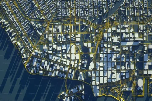
When satellites become AI agents, space data centers become the next AI frontier
The next AI infrastructure race may not happen on Earth. It could happen in orbit, where satellites become intelligent computing platforms. Credit: Artsiom P / Shutterstock For decades, space infrastructure was largely understood through the language of rockets, satellites, launch capacity, communications and exploration. The enterprise technology world watched from a distance. Space was important,…
-
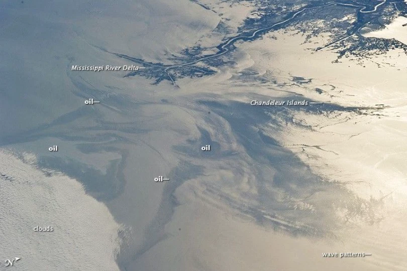
Tracking the Spread of the Oil Slick off Oman: How Satellites Support Maritime Monitoring and Coastal Impact Assessment
A tanker that has been grounded off the coast of Oman’s Dhofar Governorate since June 2026 drew growing international attention in late July and early August, as satellite imagery showed the surrounding oil slick expanding rapidly. On August 1, the Associated Press reported that satellite imagery acquired through July 31 showed an estimated oil sheen…
-
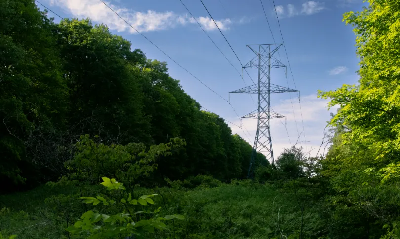
From Post-Disaster Repairs to Early Warning: How to Identify High-Risk Power Line Corridors for Vegetation Management
In early August 2026, the Bradley Creek wildfire spread rapidly amid strong winds in British Columbia’s Okanagan region, causing severe damage to local infrastructure, widespread power outages, and emergency evacuations. In an August 3 incident update, local utility BC Hydro reported extensive damage to its electrical system. Approximately 150 distribution poles had been identified for…
-

Global Critical Minerals Outlook 2026
The IEA examines the full spectrum of energy issues including oil,gasand coal supply and demand, renewable energy technologies, electricity markets, energy efficiency , access to energy , demand sidemanagement and much more. Through its work, the IEA advocates policies that will enhance the reliability , affordability and sustainability of energy in its 32 Member countries,…
-
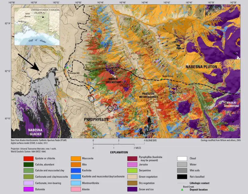
From Spectral Fingerprints to Target Prioritization: How Hyperspectral Satellites Support Mineral Exploration
According to the International Energy Agency’s Global Critical Minerals Outlook 2026, global critical mineral exploration spending fell by more than 10% in 2025. Exploration spending on lithium and nickel declined by around 45%, while spending on copper remained broadly stable. This increasingly cautious investment environment stands in contrast to the persistent long-term pressure on critical…
-
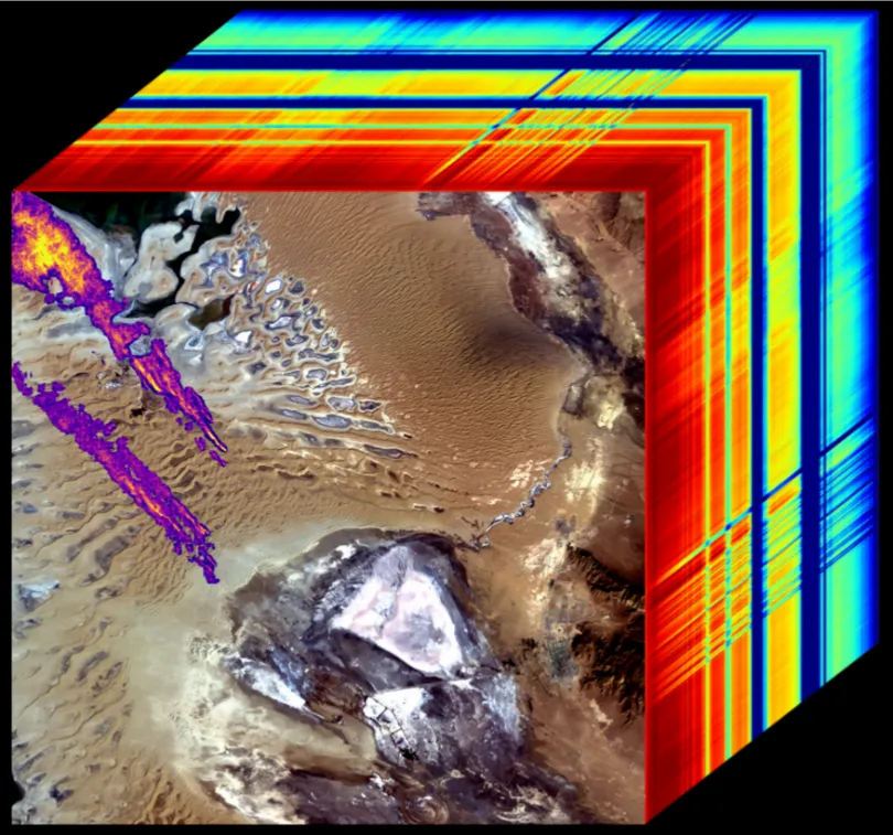
From Detecting Methane Plumes to Verifying Mitigation: How Satellites Can Advance the Governance Loop for Oil and Gas Methane Emissions
In July 2026, UN News reported that UNEP’s Methane Alert and Response System had issued more than 5,000 alerts concerning major methane emission events across 33 countries. UNEP separately reported that, as of April 2026, IMEO had documented more than 40 mitigation cases. At the time, approximately 13% of MARS alerts had received a recorded…
-
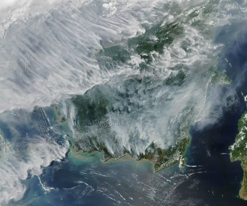
Rising Peatland Fire Risk in Southeast Asia: How Satellite Monitoring Strengthens Early Warning and Transboundary Haze Prevention
Southern Southeast Asia has entered its traditional dry season. As hotter and drier conditions develop, fire and smoke signals are emerging in parts of Indonesia and the wider region, raising concerns about the risk of transboundary haze later in the season. As of July 26, 2026, Palangka Raya, the capital of Central Kalimantan, Indonesia, had…
-
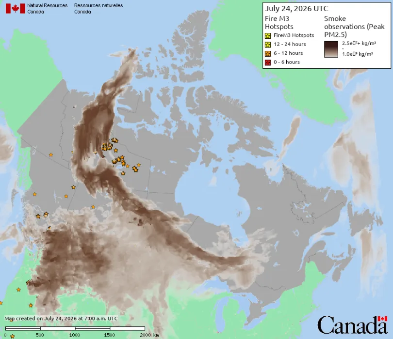
Wildfire Smoke from Canada Crosses into the United States: How Satellite Data Supports Wildfire Monitoring and Environmental Management
In mid-July 2026, smoke from wildfires burning across central Canada continued spreading southeast across the U.S.-Canada border, pushing Detroit’s Air Quality Index to its highest reported level since monitoring began in 1999. Several cities were listed among the most polluted major cities in the world during this period. A watercraft sits in the Detroit River…