
Tag: Disaster Management
-
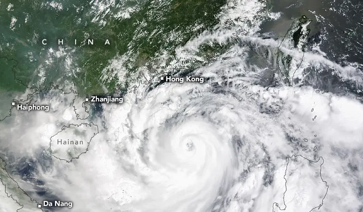
How Satellites and AI Help Deliver Disaster Warnings 72 Hours Ahead
Disaster preparedness starts well before an emergency unfolds. The goal is to get people moving while there is still time to protect lives, crops and property. Every extra day of warning changes what can be saved. Three hours may leave time for evacuation; three days can also allow farmers to harvest crops early, reinforce greenhouses…
-
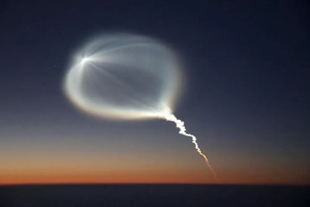
China Launches Yaogan-50 03 Remote-Sensing Satellite on Long March 6A (Video)
China launched the Yaogan-50 03 remote-sensing satellite aboard a Long March 6A rocket from the Taiyuan Satellite Launch Center at 6:15 p.m. Beijing Time on Oct. 23, 2026. The spacecraft entered its planned orbit, completing the 672nd launch of China’s Long March rocket family. Chinese authorities said Yaogan-50 03 will primarily support land surveys, crop…
-
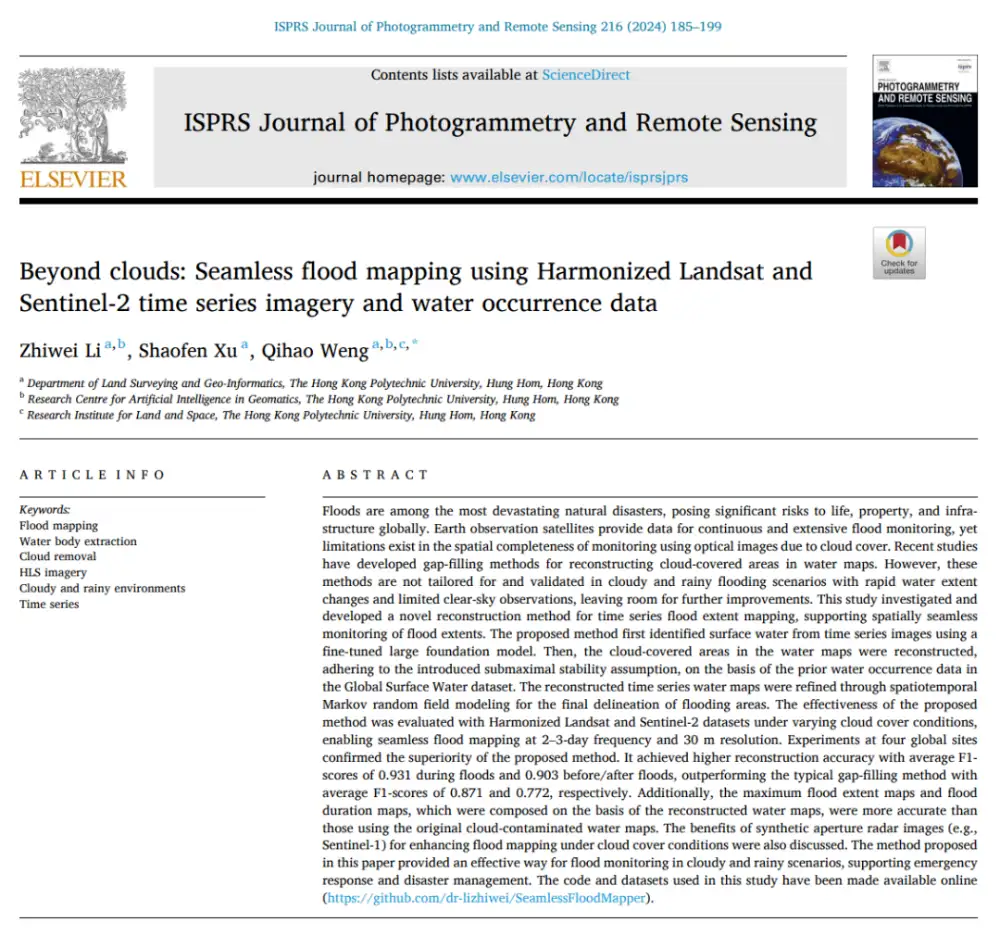
Can Optical Satellites Keep Tracking Floods When Clouds Block the View?
In brief: Landsat and Sentinel-2 can capture flood details well, but they are most vulnerable to the very condition that often accompanies major flooding: cloud cover. Rather than trying to generate a visually plausible cloud-free optical image, this study directly reconstructs whether the surface beneath the clouds is water or non-water. The researchers combined Harmonized…
-
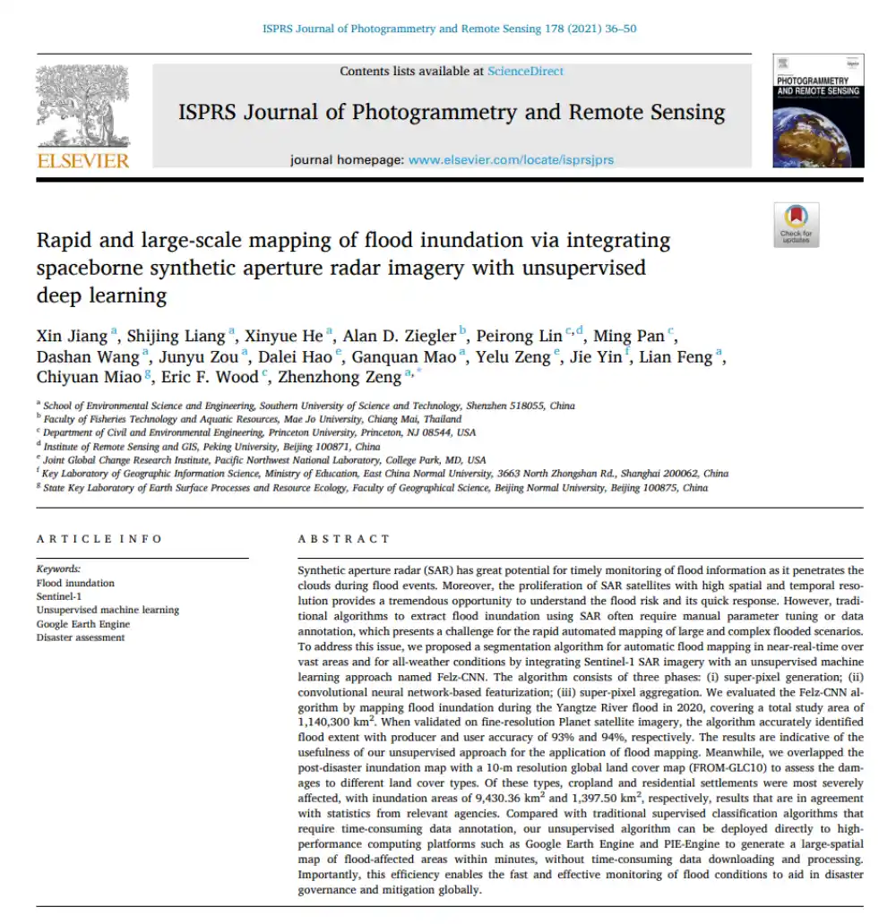
Can SAR Map Floods Without Manual Labels or Threshold Tuning?
In brief: Conventional SAR-based flood mapping often runs into two obstacles: thresholds must be adjusted repeatedly by hand, while supervised learning requires large volumes of labeled data. This paper proposes Felz-CNN, also known as the adaptive unsupervised Felz-CNN segment system (AUFCS). The method first uses Felzenszwalb superpixels to divide a SAR image into many internally…
-
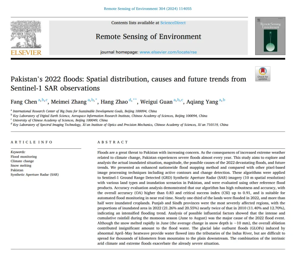
What Really Caused Pakistan’s 2022 Floods: Extreme Rainfall, Snowmelt, or Glacial Lake Outburst Floods?
In brief: Published in Remote Sensing of Environment, this study does more than use Sentinel-1 data to map Pakistan’s catastrophic 2022 floods. It seeks to answer three broader questions: How much of the country was flooded? Why was the disaster so severe? And was it worse than the major flood of 2010? The authors developed…
-

China Marks 666th Long March Flight with Six Remote-Sensing Satellites
China launched six remote-sensing satellites aboard a Long March 4B rocket Sept. 10, marking the 666th flight of the Long March family and adding new spacecraft for scientific experiments, land-resource surveys, agricultural monitoring and disaster reduction. The Long March 4B ignited at 5 p.m. Beijing time at the Jiuquan Satellite Launch Center and deployed Yaogan-53…
-
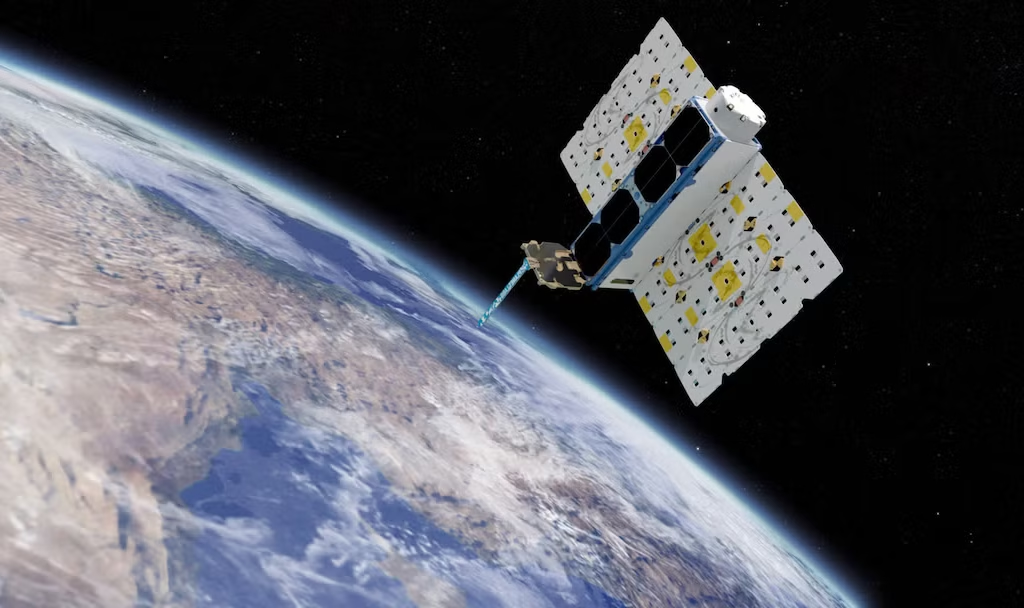
Planet Signs Satellite Data Agreement With Slovenia’s Mapping Authority
Planet Labs has signed an enterprise-scale agreement with the Surveying and Mapping Authority of the Republic of Slovenia (GURS) to provide satellite imagery and services to support public sector activities including agriculture monitoring, urban planning and disaster management. Under the agreement, Slovenian state and municipal authorities will gain access to PlanetScope satellite imagery as well…
-
Planet Signs Satellite Data Agreement With Slovenia’s Mapping Authority
Planet Labs has signed an enterprise-scale agreement with the Surveying and Mapping Authority of the Republic of Slovenia (GURS) to provide satellite imagery and services to support public sector activities including agriculture monitoring, urban planning and disaster management. Under the agreement, Slovenian state and municipal authorities will gain access to PlanetScope satellite imagery as well…