
Tag: environment
-
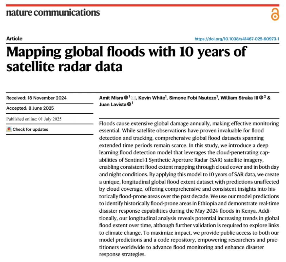
A Decade of Sentinel-1 Scanning the Globe: How Much Flooding Have We Been Missing?
Key takeaway: Several global flood datasets already exist, but their long-term records rely primarily on optical remote sensing from satellites such as MODIS and Landsat. Yet the most severe floods often occur under thick cloud cover. The real question this study seeks to answer is not “How can we detect floods one more time?” but…
-
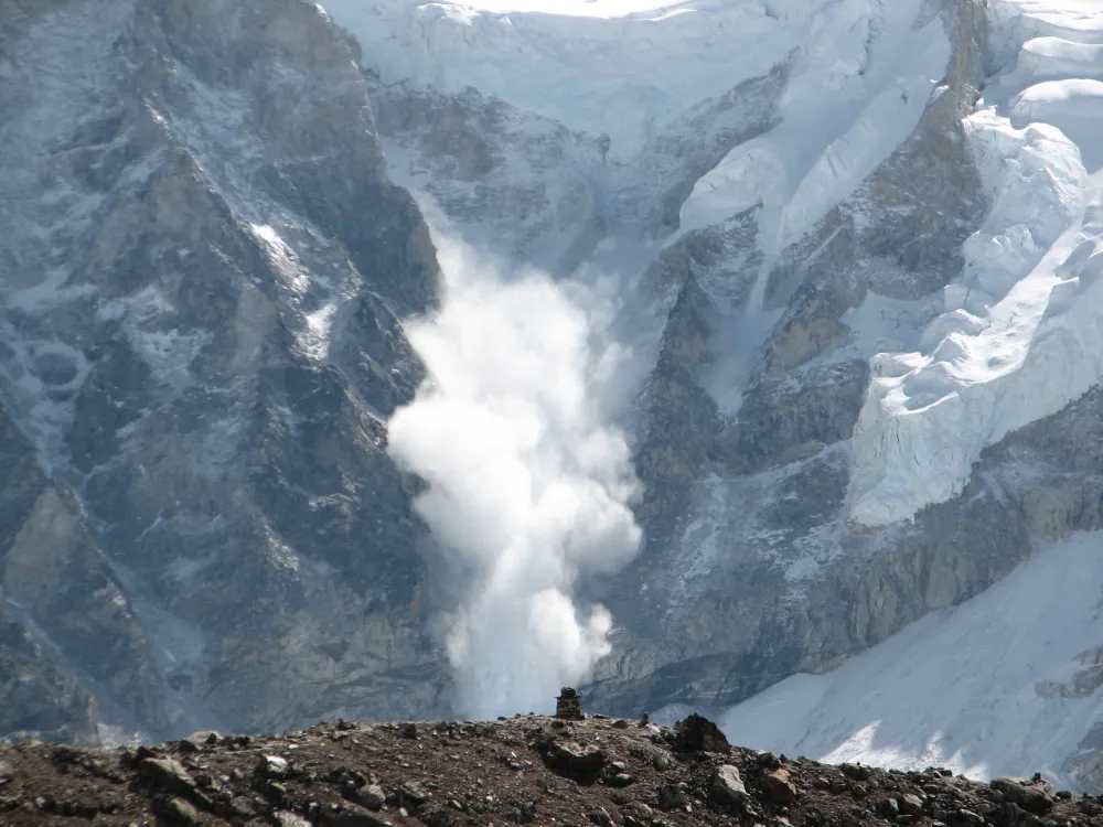
From Detecting Change to Assessing Risk: Satellite Remote Sensing for High-Mountain Hazards
On August 26, 2026, a cascading debris-flow disaster originating on the Nepal side of the China–Nepal border struck Gyirong Port in Xizang, China. Based on pre- and post-event high-resolution satellite imagery, seismic reports, and imagery transmitted from the affected area, an expert working group organized by China’s Ministry of Natural Resources preliminarily assessed that the…
-
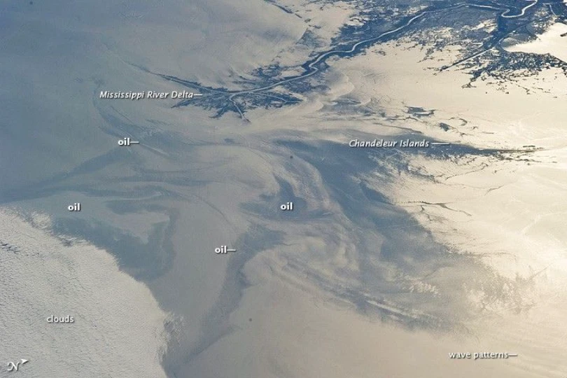
Tracking the Spread of the Oil Slick off Oman: How Satellites Support Maritime Monitoring and Coastal Impact Assessment
A tanker that has been grounded off the coast of Oman’s Dhofar Governorate since June 2026 drew growing international attention in late July and early August, as satellite imagery showed the surrounding oil slick expanding rapidly. On August 1, the Associated Press reported that satellite imagery acquired through July 31 showed an estimated oil sheen…
-
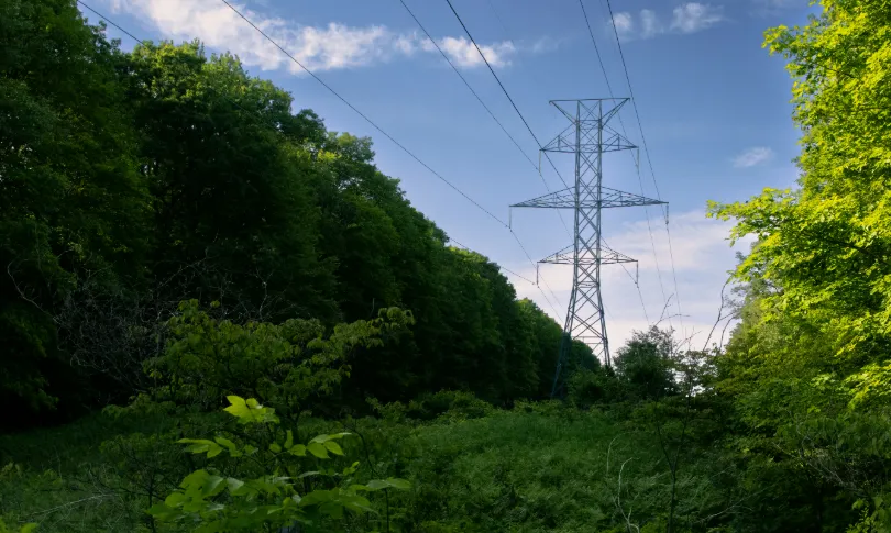
From Post-Disaster Repairs to Early Warning: How to Identify High-Risk Power Line Corridors for Vegetation Management
In early August 2026, the Bradley Creek wildfire spread rapidly amid strong winds in British Columbia’s Okanagan region, causing severe damage to local infrastructure, widespread power outages, and emergency evacuations. In an August 3 incident update, local utility BC Hydro reported extensive damage to its electrical system. Approximately 150 distribution poles had been identified for…
-
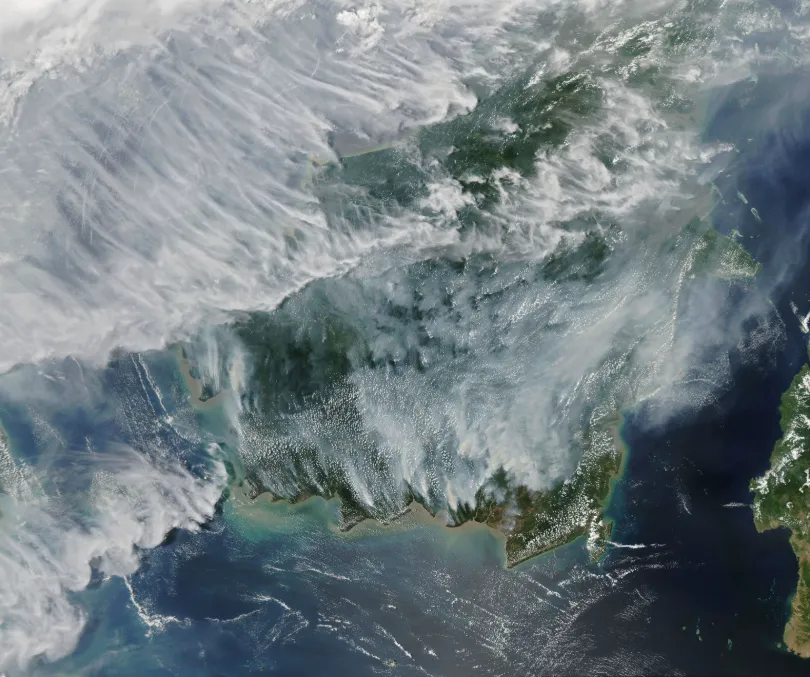
Rising Peatland Fire Risk in Southeast Asia: How Satellite Monitoring Strengthens Early Warning and Transboundary Haze Prevention
Southern Southeast Asia has entered its traditional dry season. As hotter and drier conditions develop, fire and smoke signals are emerging in parts of Indonesia and the wider region, raising concerns about the risk of transboundary haze later in the season. As of July 26, 2026, Palangka Raya, the capital of Central Kalimantan, Indonesia, had…
-
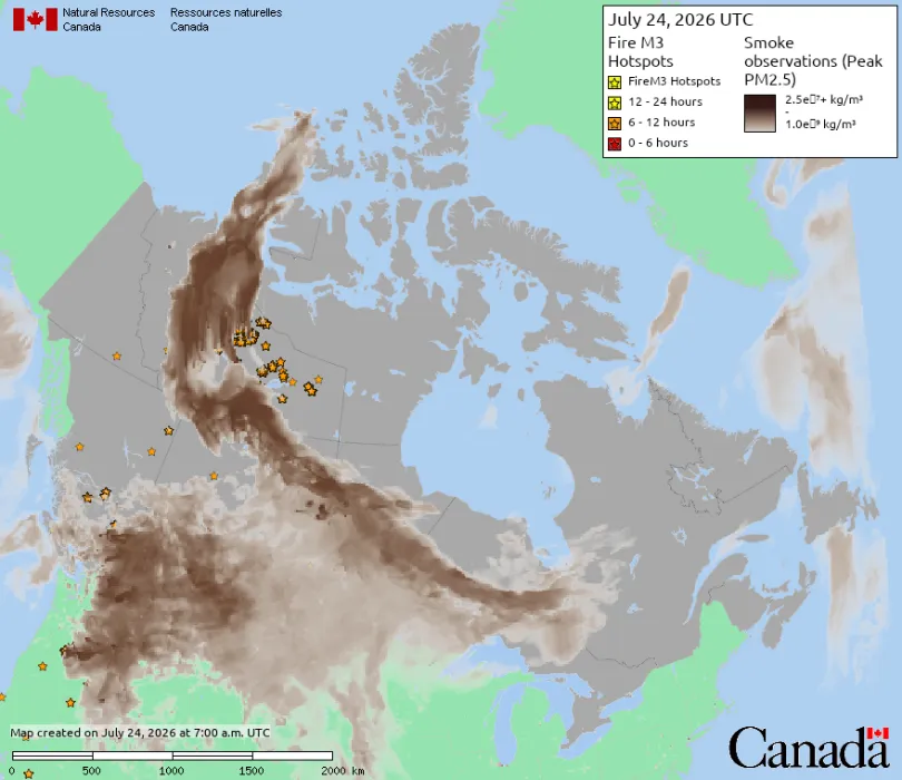
Wildfire Smoke from Canada Crosses into the United States: How Satellite Data Supports Wildfire Monitoring and Environmental Management
In mid-July 2026, smoke from wildfires burning across central Canada continued spreading southeast across the U.S.-Canada border, pushing Detroit’s Air Quality Index to its highest reported level since monitoring began in 1999. Several cities were listed among the most polluted major cities in the world during this period. A watercraft sits in the Detroit River…
-
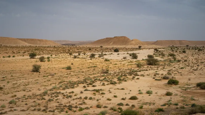
Saudi Arabia Launches 142 Sustainable Investment Opportunities: Satellite Remote Sensing Advances Ecological Monitoring
On July 3, 2026, Saudi Arabia’s National Center for Vegetation Cover Development and Combating Desertification (NCVC), in cooperation with the Federation of Saudi Chambers, announced 142 sustainable investment opportunities across the Kingdom. Covering more than 60 million square meters, the opportunities have investment periods ranging from five to 25 years and include potential projects in…
-

After the China-Saudi Space Agreement: Satellite Data Is Turning Into Real Savings
On July 13, 2026, China National Space Administration (CNSA) Administrator Shan Zhongde met in Beijing with Abdullah Alswaha, Saudi Arabia’s Minister of Communications and Information Technology and Chairman of the Board of the Saudi Space Agency. The two sides discussed cooperation across deep space exploration, space debris mitigation, and communications satellites under a bilateral space…
-
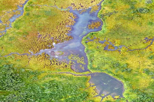
What environmental indicators can be derived from satellite analytics?
Satellite analytics can generate a wide range of environmental indicators that help organizations understand ecosystem conditions, monitor environmental change, assess sustainability performance, and support informed decision-making. By transforming raw Earth observation data into measurable environmental metrics, satellite analytics provides scalable and objective insights across diverse landscapes and environmental systems. Vegetation indicators are among the most…
-
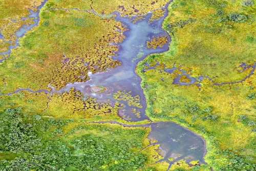
How is disaster impact assessed with Earth observation data?
Earth observation data plays a crucial role in disaster impact assessment by providing rapid, objective, and large-scale information before, during, and after natural or human-induced disasters. Satellite imagery enables emergency responders, governments, humanitarian organizations, insurers, and infrastructure operators to evaluate affected areas, prioritize response efforts, and support recovery planning when timely information is most critical.…