
Tag: Forestry
-
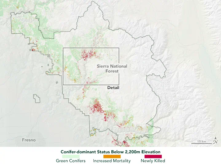
Can NDVI Detect Forest Stress Before Trees Turn Brown?
Sometimes, but NDVI alone cannot reliably identify every stressed tree before visible symptoms appear. It can help reveal changes in canopy greenness and vegetation cover, especially when repeated observations show a departure from the forest’s normal seasonal pattern. Early physiological stress, however, may develop while crowns still look green and NDVI changes remain small. For…
-
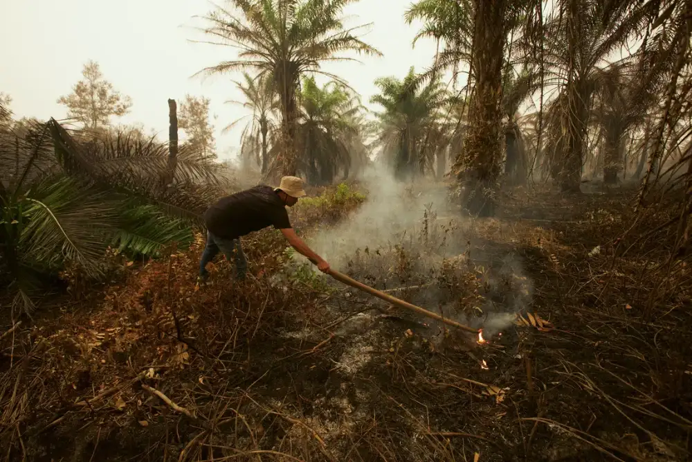
After 2.88 Million Hectares Burned: Why Indonesia’s Wildfires Are Becoming a Business Risk
Indonesia’s 2026 fire season is highlighting the operational and land-management risks facing plantation and forestry operators. According to AFP’s 11 November 2026 report, Nusantara Atlas estimated that approximately 2.88 million hectares of land in Indonesia were affected by fire between January and October 2026, exceeding the full-year 2019 figure in the same monitoring series. Smoke…
-
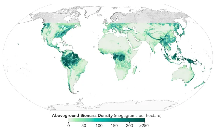
How to Validate Satellite-Based Forest Biomass Estimates
A forest biomass map can show convincing patterns without providing reliable estimates for a particular project. Before using it to assess forest resources or support carbon monitoring, the essential question is whether its predictions agree with independent reference data at the scale and date that matter. Validation requires more than extracting map values at forest…
-
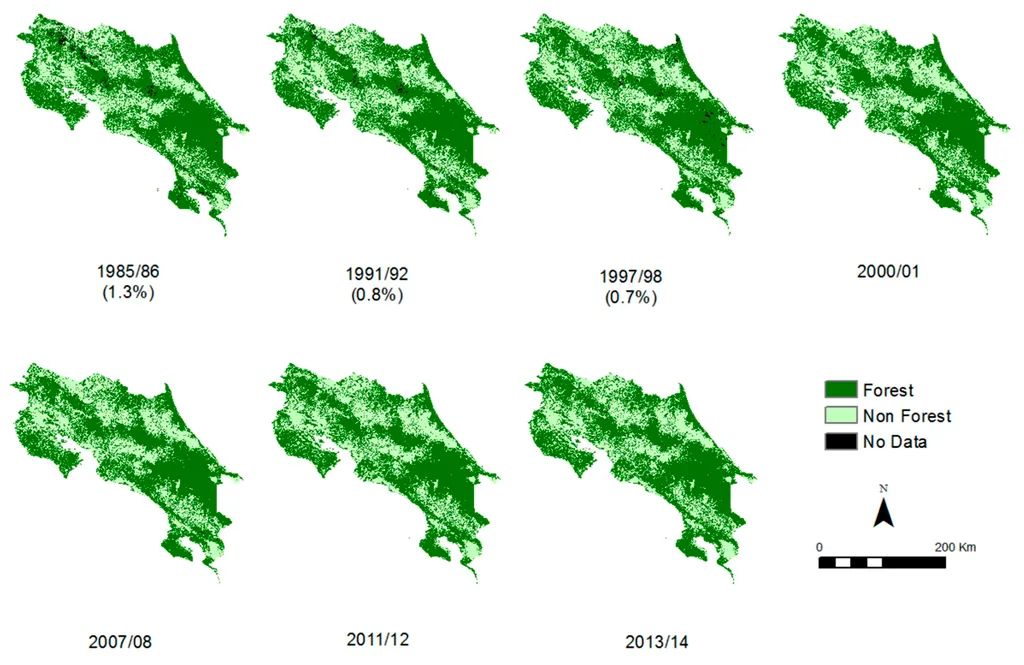
How to Check Historical Tree Cover Before Planting
Checking whether trees existed on a plot before planting requires more than searching a forest-loss map. A useful assessment connects each plot boundary to its planting date, examines evidence from the relevant historical period, and records what the available data can—and cannot—establish. Satellite archives can help screen large numbers of plots, but missing loss records…
-
Can Satellite Imagery Detect Selective Logging?
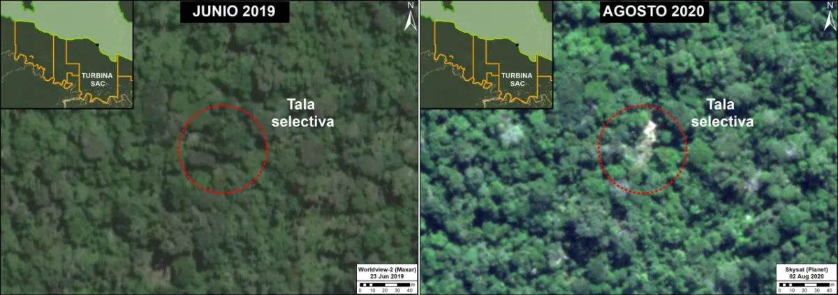
Satellite imagery can detect some selective logging, particularly when tree removal creates visible canopy gaps, new access routes or repeated changes in the radar signal. However, detecting a large clear-cut is a different task from identifying scattered tree removal beneath a mostly intact canopy. The reliability of the result depends on the disturbance footprint, forest…
-
Satellite Revisit Time vs. Actual Monitoring Frequency
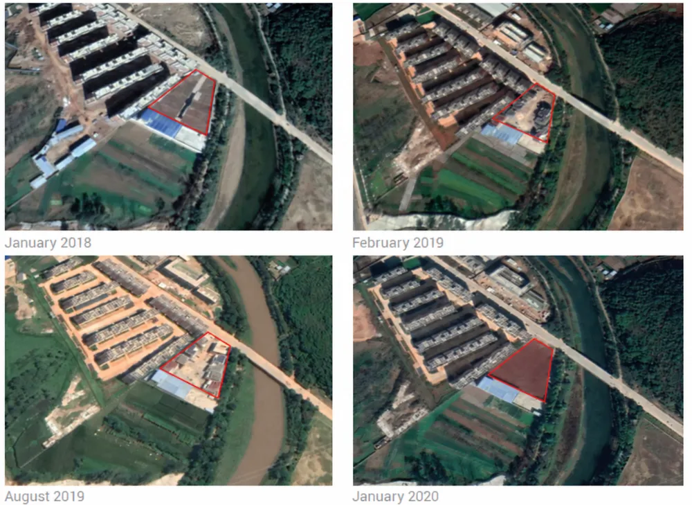
A satellite may be able to revisit your site every few days, yet the interval between usable images can be much longer. Clouds, acquisition schedules, viewing conditions and delivery requirements all affect when a new observation becomes useful. For monitoring projects, the key question is not simply how often a satellite can see the target,…
-
From Carbon Emissions to Carbon Sinks: How Satellites Support Carbon Monitoring
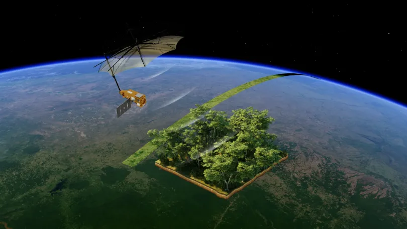
As the world continues to pursue net-zero targets, carbon data is becoming an increasingly important foundation for climate governance, corporate emissions reduction, and ecosystem management. Countries need to quantify and assess greenhouse gas emissions more accurately. Companies need an ongoing understanding of emissions changes across their operations and associated facilities. Carbon markets and carbon projects…