
Tag: InSAR
-
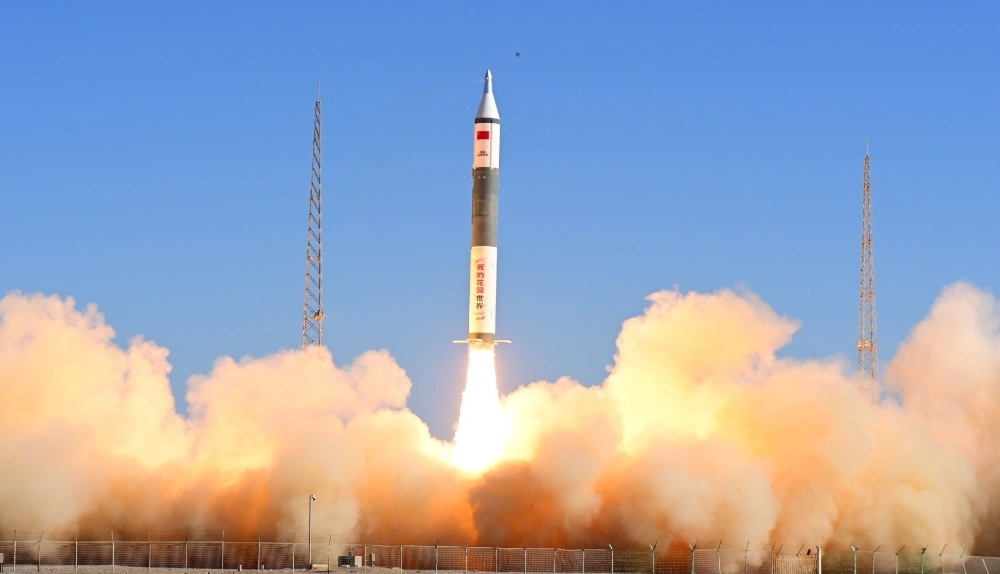
China Launches Tianyi-51 and Tianyi-52 Satellites on Kuaizhou-11 Rocket
At 10:40 a.m. Beijing time on September 17, 2026, China launched the Tianyi-51 and Tianyi-52 satellites aboard a Kuaizhou-11 Y3 rocket from the Jiuquan Satellite Launch Center. Both satellites entered their planned orbits, completing the mission successfully. The satellites form a commercial, mid-inclination interferometric synthetic aperture radar (InSAR) pair designed to monitor changes in the…
-
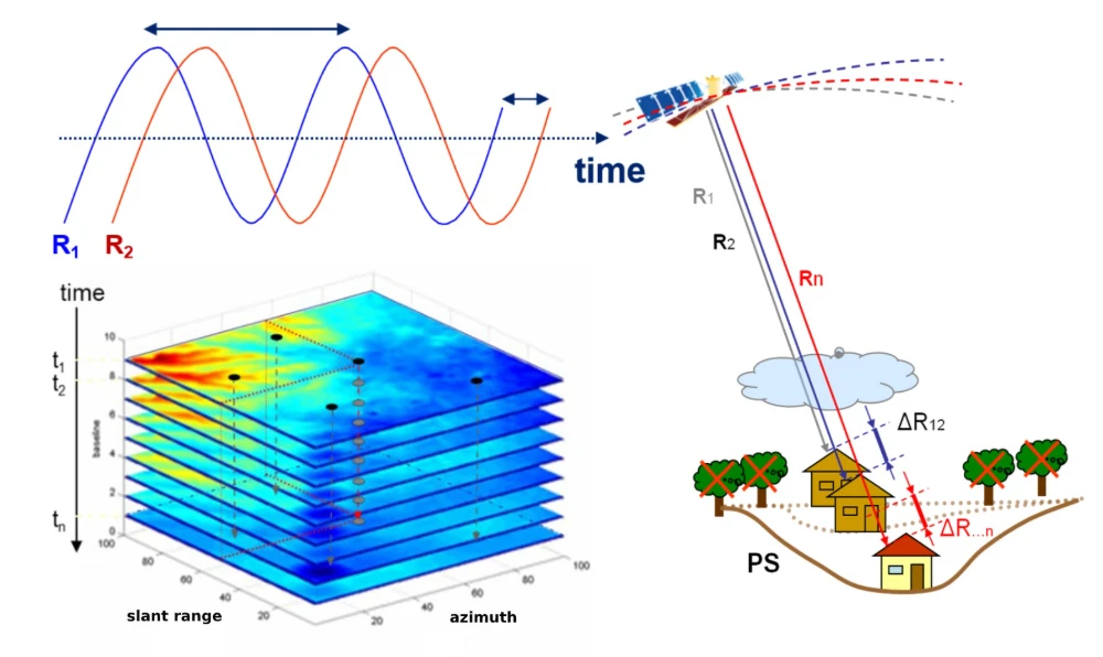
InSAR Monitoring for Infrastructure: Ground Subsidence and Geohazard Assessment
As the old saying goes, it’s better to catch a problem while it’s still small. For infrastructure such as railways, highways, bridges, tunnels, and buildings, many risks do not emerge suddenly. Slopes may deform slowly over months or longer. Railway or road foundations may continue to settle. Unusual ground movement may occur around bridges and…
-
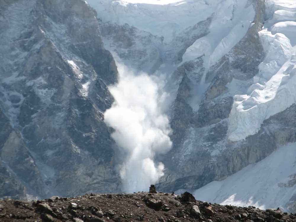
From Detecting Change to Assessing Risk: Satellite Remote Sensing for High-Mountain Hazards
On August 26, 2026, a cascading debris-flow disaster originating on the Nepal side of the China–Nepal border struck Gyirong Port in Xizang, China. Based on pre- and post-event high-resolution satellite imagery, seismic reports, and imagery transmitted from the affected area, an expert working group organized by China’s Ministry of Natural Resources preliminarily assessed that the…
-
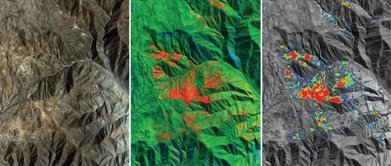
From Mineral Exploration to Disaster Monitoring: What Can Remote Sensing AI Do?
Can remote sensing AI provide professional insights and intelligent decision support for resource exploration, mine development and geological hazard monitoring? “AI cannot be discussed independently of observation,” an industry expert said when discussing intelligent remote sensing interpretation. Remote sensing AI must remain grounded in real-world operations rather than becoming a numbers game focused solely on…
-
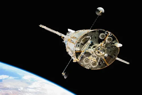
How does satellite data improve utility maintenance planning?
Satellite data significantly improves utility maintenance planning by providing timely, large-scale insights into infrastructure conditions, environmental risks, and operational priorities. By enabling utilities to monitor extensive asset networks more efficiently, Earth observation technologies support proactive maintenance strategies that help reduce costs, improve reliability, and enhance operational resilience. Traditional maintenance planning often relies on scheduled inspections,…
-
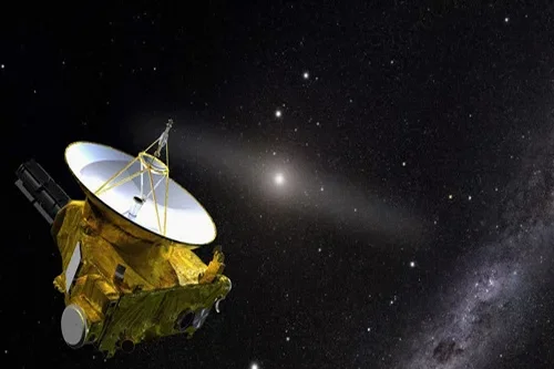
Can satellites help detect pipeline or telecom asset issues?
Yes, satellites can play an important role in detecting and monitoring conditions that may affect pipeline and telecommunications infrastructure. While satellites generally do not replace detailed engineering inspections or field-based monitoring systems, they provide valuable large-scale visibility that helps operators identify potential issues, prioritize maintenance activities, and improve risk management across extensive asset networks. Pipeline…
-
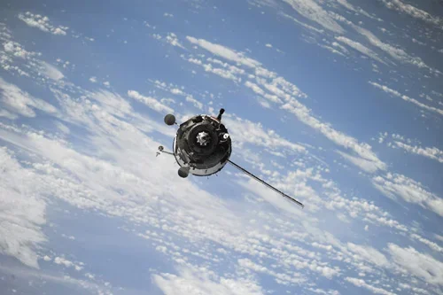
How can satellite data be used for power grid monitoring?
Satellite data has become an increasingly valuable tool for power grid monitoring, providing utility operators with broad-area visibility into transmission networks, substations, generation facilities, and surrounding environmental conditions. As power infrastructure expands across large geographic regions and utilities face growing demands for reliability and resilience, Earth observation technologies offer scalable monitoring capabilities that complement traditional…
-

Can satellite imagery detect subsidence or ground movement?
Yes, satellite imagery is one of the most effective technologies available for detecting and monitoring subsidence, ground movement, and surface deformation across large geographic areas. Advances in radar-based Earth observation have made it possible to measure subtle changes in ground elevation with remarkable precision, providing valuable information for oil and gas operators, infrastructure managers, regulators,…
-
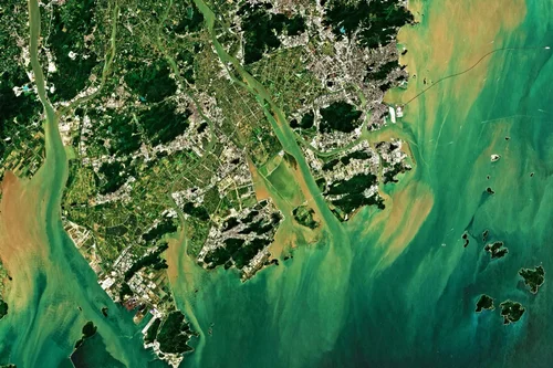
How can satellites monitor oil and gas pipelines?
Satellite technology has become an increasingly important component of pipeline monitoring programs across the oil and gas industry. With thousands of kilometers of pipelines often crossing remote deserts, forests, mountains, wetlands, and offshore environments, maintaining continuous visibility over critical infrastructure can be challenging using traditional inspection methods alone. Satellite monitoring provides a scalable and cost-effective…
-
What risks can satellite analytics detect in mining areas?
Satellite analytics can identify and monitor a wide range of operational, environmental, geotechnical, and infrastructure-related risks within mining regions. By combining high-resolution imagery, radar observations, time-series analysis, and advanced geospatial analytics, mining organizations can gain early visibility into potential threats and make more informed risk management decisions. One of the most significant risks monitored through…